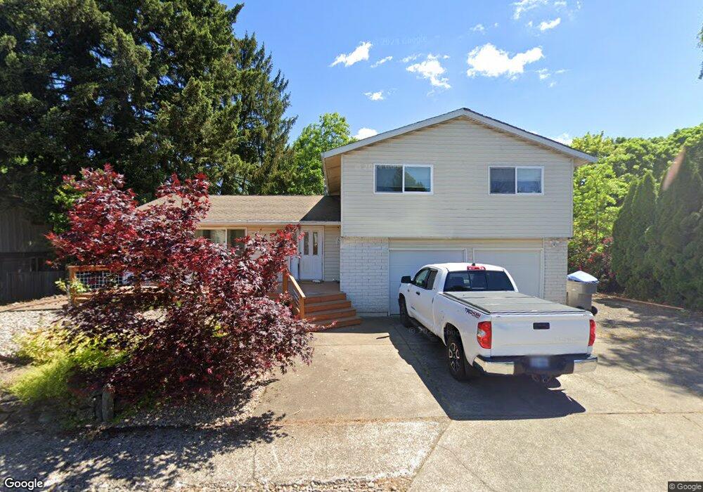
12150 SW 124th Ave Portland, OR 97223
Jack Park NeighborhoodEstimated Value: $602,601 - $643,000
4
Beds
3
Baths
1,980
Sq Ft
$314/Sq Ft
Est. Value
About This Home
This home is located at 12150 SW 124th Ave, Portland, OR 97223 and is currently estimated at $622,400, approximately $314 per square foot. 12150 SW 124th Ave is a home located in Washington County with nearby schools including Mary Woodward Elementary School, Thomas R. Fowler Middle School, and Tigard High School.
Ownership History
Date
Name
Owned For
Owner Type
Purchase Details
Closed on
Aug 2, 2005
Sold by
Ruff Michael L and Ruff Joyce E
Bought by
Briles Jason C and Briles Malaika A
Current Estimated Value
Home Financials for this Owner
Home Financials are based on the most recent Mortgage that was taken out on this home.
Original Mortgage
$224,925
Outstanding Balance
$122,601
Interest Rate
6.25%
Mortgage Type
Fannie Mae Freddie Mac
Estimated Equity
$499,799
Create a Home Valuation Report for This Property
The Home Valuation Report is an in-depth analysis detailing your home's value as well as a comparison with similar homes in the area
Home Values in the Area
Average Home Value in this Area
Purchase History
| Date | Buyer | Sale Price | Title Company |
|---|---|---|---|
| Briles Jason C | $299,900 | Transnation Title Agency Or |
Source: Public Records
Mortgage History
| Date | Status | Borrower | Loan Amount |
|---|---|---|---|
| Open | Briles Jason C | $224,925 |
Source: Public Records
Tax History Compared to Growth
Tax History
| Year | Tax Paid | Tax Assessment Tax Assessment Total Assessment is a certain percentage of the fair market value that is determined by local assessors to be the total taxable value of land and additions on the property. | Land | Improvement |
|---|---|---|---|---|
| 2025 | $5,024 | $294,700 | -- | -- |
| 2024 | $4,890 | $286,120 | -- | -- |
| 2023 | $4,890 | $277,790 | $0 | $0 |
| 2022 | $4,749 | $277,790 | $0 | $0 |
| 2021 | $4,630 | $261,850 | $0 | $0 |
| 2020 | $4,491 | $254,230 | $0 | $0 |
| 2019 | $4,297 | $246,830 | $0 | $0 |
| 2018 | $4,122 | $239,650 | $0 | $0 |
| 2017 | $3,973 | $232,670 | $0 | $0 |
| 2016 | $3,794 | $225,900 | $0 | $0 |
| 2015 | $3,647 | $219,330 | $0 | $0 |
| 2014 | $3,539 | $212,950 | $0 | $0 |
Source: Public Records
Map
Nearby Homes
- 12360 SW Katherine St
- 12435 SW 121st Ave
- 0 SW Walnut St
- 12200 SW Walnut St
- 12370 SW 121st Ave
- 12255 SW Tippitt Place
- 11756 SW 129th Place
- 11769 SW 129th Place
- 12175 SW Alberta St
- 13085 SW 124th Ave
- 11601 SW 129th Place
- 12557 SW 115th Ave
- 13165 SW Shore Dr
- 13326 SW Shore Dr
- 13154 SW 121st Ave
- 12825 SW 133rd Ave
- 13236 SW Bigleaf Dr
- 13123 SW Merlin Place
- 12249 SW Hollow Ln
- 11877 SW Morning Hill Dr
- 12120 SW 124th Ave
- 12170 SW 124th Ave
- 12135 SW 124th Ave
- 12110 SW 124th Ave
- 12165 SW 124th Ave
- 12335 SW Ann Ct
- 12175 SW 124th Ave
- 12480 SW Katherine St
- 12350 SW Katherine St
- 12148 SW 125th Ave
- 12118 SW 125th Ave
- 12168 SW 125th Ave
- 12195 SW 124th Ave
- 12305 SW Ann Ct
- 12188 SW 125th Ave
- 12490 SW Katherine St
- 12373 SW Katherine St
- 12475 SW Katherine St
- 12365 SW Katherine St
- 12260 SW 124th Ave