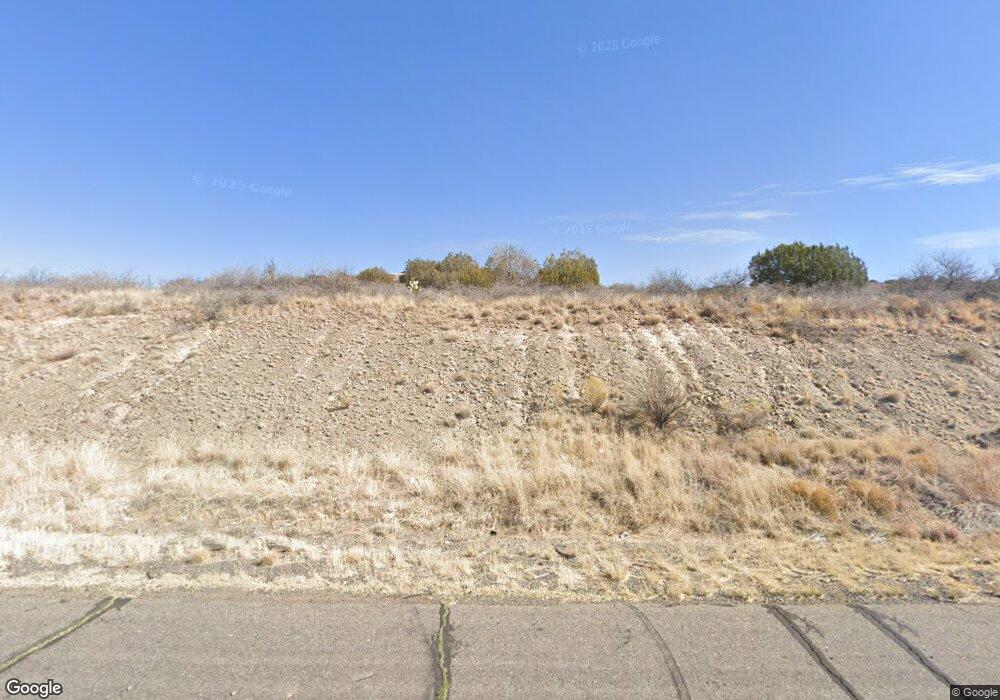
12151 E Highway 69 Dewey-Humboldt, AZ 86327
--
Bed
--
Bath
6,000
Sq Ft
8.73
Acres
About This Home
This home is located at 12151 E Highway 69, Dewey-Humboldt, AZ 86327. 12151 E Highway 69 is a home located in Yavapai County with nearby schools including Lake Valley Elementary School, Glassford Hill Middle School, and Bradshaw Mountain High School.
Ownership History
Date
Name
Owned For
Owner Type
Purchase Details
Closed on
Mar 20, 2025
Sold by
Polland Family Trust
Bought by
Southside Community Facilities District No 1
Purchase Details
Closed on
Mar 12, 2024
Sold by
Davidson Gilbert
Bought by
Southside Community Facilities District No 1
Purchase Details
Closed on
Mar 15, 2023
Sold by
Superintendent Of Streets Of The Southsi
Bought by
Southside Community Facilities District No 1
Purchase Details
Closed on
Feb 12, 2021
Sold by
Acting Superintendent Of Streets
Bought by
Southside Community Facilities District
Purchase Details
Closed on
Aug 29, 2008
Sold by
Polland Charolette E
Bought by
East Valley Investments Llc
Create a Home Valuation Report for This Property
The Home Valuation Report is an in-depth analysis detailing your home's value as well as a comparison with similar homes in the area
Home Values in the Area
Average Home Value in this Area
Purchase History
| Date | Buyer | Sale Price | Title Company |
|---|---|---|---|
| Southside Community Facilities District No 1 | -- | -- | |
| Southside Community Facilities District No 1 | -- | -- | |
| Southside Community Facilities District No 1 | -- | -- | |
| Southside Community Facilities District | -- | -- | |
| East Valley Investments Llc | -- | Landamerica Title Agency |
Source: Public Records
Tax History Compared to Growth
Tax History
| Year | Tax Paid | Tax Assessment Tax Assessment Total Assessment is a certain percentage of the fair market value that is determined by local assessors to be the total taxable value of land and additions on the property. | Land | Improvement |
|---|---|---|---|---|
| 2026 | $6,748 | -- | -- | -- |
| 2024 | $6,279 | -- | -- | -- |
| 2023 | $6,279 | $239,943 | $220,063 | $19,880 |
| 2022 | $6,321 | $74,954 | $59,709 | $15,245 |
| 2021 | $364,704 | $116,270 | $70,246 | $46,024 |
| 2020 | $6,586 | $0 | $0 | $0 |
| 2019 | $6,451 | $0 | $0 | $0 |
| 2018 | $6,171 | $0 | $0 | $0 |
| 2017 | $6,060 | $0 | $0 | $0 |
| 2016 | $5,835 | $0 | $0 | $0 |
| 2015 | -- | $0 | $0 | $0 |
| 2014 | -- | $0 | $0 | $0 |
Source: Public Records
Map
Nearby Homes
- 12026 E Turquoise Cir
- 11992 E Rawhide Ridge
- 776 N Maverick Trail
- 792 N Ponderosa Pine Dr
- 864 N Mountain Brush Dr
- 850 N Ponderosa Pine Dr
- 850 N Ponderosa Pine Dr
- 636 N Mesquite Tree Dr
- 815 N Mesquite Tree Dr
- 11873 E Turquoise Cir Unit 2
- 872 N Mesquite Tree Dr
- 827 N Wild Walnut Dr
- 914 N Ponderosa Pine Dr
- 885 N Mesquite Tree Dr
- 618 N Wild Walnut Dr
- 11820 E Stirrup High Dr E
- 952 N Mesquite Tree Dr
- 819 N Winchester Way
- 624 N Blue Spruce Dr
- 11847 E Stirrup High Dr E
- 12151 E Hwy 69
- 80 E Powderhorn Pass
- 12015 E Powderhorn Pass
- 11996 E Powderhorn Pass
- 11997 E Powderhorn Pass
- 12000 E Turquoise Cir
- 12026 E Turquoise Cir
- 11991 E Rawhide Ridge
- 11992 Rawhide
- 11982 E Powderhorn Pass
- 11985 E Powderhorn Pass Unit 1
- 11985 E Powderhorn Pass
- 11990 E Turquoise Cir
- 11975 E Rawhide Ridge
- 11976 E Rawhide Ridge
- 11966 E Powderhorn Pass
- 12125 E State Route 69 --
- 12125 E State Route 69 --
- 12125 E State Route 69 --
- 11969 E Powderhorn Pass
