12151 N 593 Rd Tahlequah, OK 74464
Estimated Value: $126,000 - $170,000
1
Bed
2
Baths
944
Sq Ft
$164/Sq Ft
Est. Value
About This Home
This home is located at 12151 N 593 Rd, Tahlequah, OK 74464 and is currently estimated at $154,701, approximately $163 per square foot. 12151 N 593 Rd is a home located in Cherokee County with nearby schools including Briggs Public School.
Ownership History
Date
Name
Owned For
Owner Type
Purchase Details
Closed on
Mar 13, 2023
Sold by
Fouts D Thomas
Bought by
Fouts Tommi S and Fouts Kathy
Current Estimated Value
Purchase Details
Closed on
Apr 22, 2008
Sold by
Holderby Russell C
Bought by
Fouts Thomas D
Home Financials for this Owner
Home Financials are based on the most recent Mortgage that was taken out on this home.
Original Mortgage
$82,620
Interest Rate
6.11%
Mortgage Type
New Conventional
Create a Home Valuation Report for This Property
The Home Valuation Report is an in-depth analysis detailing your home's value as well as a comparison with similar homes in the area
Home Values in the Area
Average Home Value in this Area
Purchase History
| Date | Buyer | Sale Price | Title Company |
|---|---|---|---|
| Fouts Tommi S | -- | Heritage Title | |
| Fouts Thomas D | $76,000 | Heritage Title |
Source: Public Records
Mortgage History
| Date | Status | Borrower | Loan Amount |
|---|---|---|---|
| Previous Owner | Fouts Thomas D | $82,620 |
Source: Public Records
Tax History Compared to Growth
Tax History
| Year | Tax Paid | Tax Assessment Tax Assessment Total Assessment is a certain percentage of the fair market value that is determined by local assessors to be the total taxable value of land and additions on the property. | Land | Improvement |
|---|---|---|---|---|
| 2025 | -- | $10,299 | $196 | $10,103 |
| 2024 | -- | $9,999 | $196 | $9,803 |
| 2023 | $0 | $9,707 | $196 | $9,511 |
| 2022 | $0 | $9,425 | $344 | $9,081 |
| 2021 | $0 | $9,425 | $344 | $9,081 |
| 2020 | $753 | $9,426 | $344 | $9,082 |
| 2019 | $753 | $9,426 | $344 | $9,082 |
| 2018 | $0 | $9,426 | $344 | $9,082 |
| 2017 | $0 | $9,163 | $281 | $8,882 |
| 2016 | -- | $8,726 | $244 | $8,482 |
| 2015 | $578 | $8,311 | $288 | $8,023 |
| 2014 | $578 | $8,311 | $288 | $8,023 |
Source: Public Records
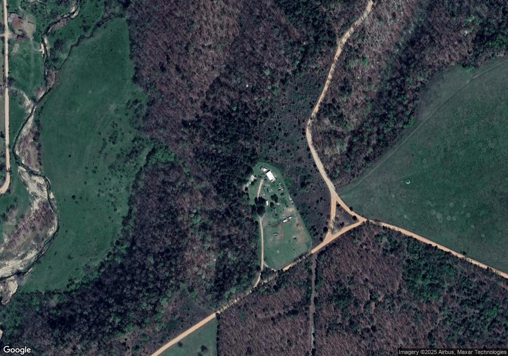
Map
Nearby Homes
- 14554 N 603 Rd
- 66821 S 4644 Rd
- 81118 S 4725 Rd
- 78332 S 4760 Rd
- 81134 S 4720 Rd
- 202 Alder Way
- 0 Alder Way
- 206 Alder Way
- 22678 Sunrise Ridge Dr
- 66910 S 4655 Rd
- 65300 Blackhawk Ridge Rd
- 912 Summit Ridge Ct
- 105 Summit Ridge Dr
- 69000 S 4664 Rd
- 24500 E 741 Rd
- 6200 N Starr Ridge Rd
- 463899 Taylor Ridge Rd
- 465030 McSpadden Ridge Rd
- 17022 S 579 Rd
- 0 Lame Deer Ridge Rd
- 11650 N 603 Rd
- 0 Buffington Ridge Unit 2236350
- 12510 N 593 Rd
- 0 N 593 Rd Unit 1537470
- 0 N 593 Rd Unit 1537473
- 0 N 593 Rd Unit 1547699
- 0 N 593 Rd Unit 1602364
- 0 N 593 Rd Unit 1602358
- 0 N 593 Rd Unit 1616357
- 0 N 593 Rd Unit 1616361
- 0 N 593 Rd Unit 1616364
- 0 N 593 Rd Unit 1637727
- 0 N 593 Rd Unit 1637736
- 0 N 593 Rd Unit 1637734
- 0 N 593 Rd Unit 1725338
- 0 N 593 Rd Unit 1830670
- 0 N 593 Rd Unit 2036395
- 463945 Feather Ridge
- 441 Stomp Ground Rd
- 444 Littlefield Ridge Rd