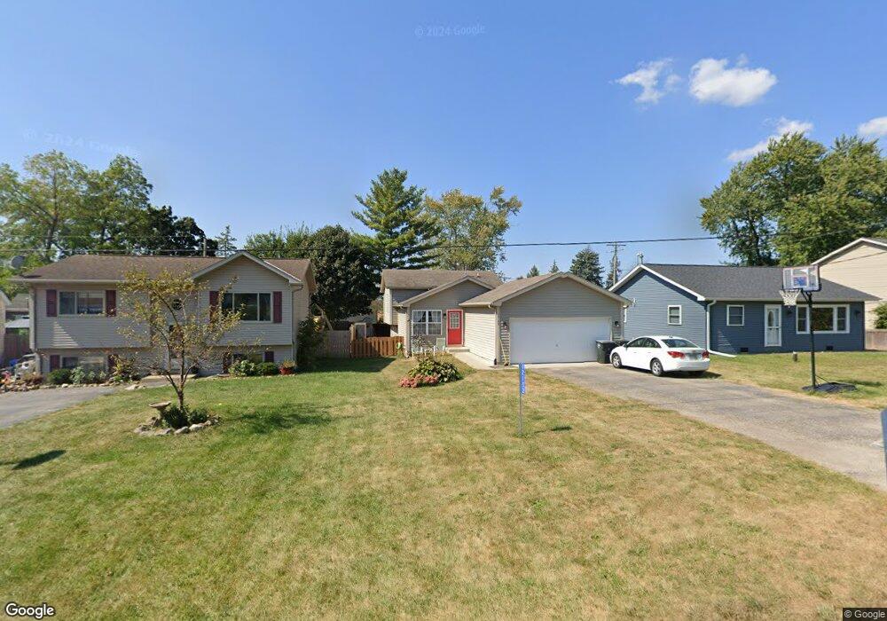
12152 223rd Ave Bristol, WI 53104
Estimated Value: $333,905 - $379,000
3
Beds
2
Baths
1,371
Sq Ft
$262/Sq Ft
Est. Value
About This Home
This home is located at 12152 223rd Ave, Bristol, WI 53104 and is currently estimated at $359,726, approximately $262 per square foot. 12152 223rd Ave is a home located in Kenosha County with nearby schools including Salem Elementary School and Central High School.
Ownership History
Date
Name
Owned For
Owner Type
Purchase Details
Closed on
Sep 7, 2011
Sold by
Durand Manon
Bought by
Federal National Mortgage Association
Current Estimated Value
Purchase Details
Closed on
Feb 27, 2006
Sold by
Babington Leslie P
Bought by
Durand Imanon
Home Financials for this Owner
Home Financials are based on the most recent Mortgage that was taken out on this home.
Original Mortgage
$39,000
Interest Rate
6.22%
Mortgage Type
Stand Alone Second
Create a Home Valuation Report for This Property
The Home Valuation Report is an in-depth analysis detailing your home's value as well as a comparison with similar homes in the area
Home Values in the Area
Average Home Value in this Area
Purchase History
| Date | Buyer | Sale Price | Title Company |
|---|---|---|---|
| Federal National Mortgage Association | $241,600 | -- | |
| Durand Imanon | $190,000 | None Available |
Source: Public Records
Mortgage History
| Date | Status | Borrower | Loan Amount |
|---|---|---|---|
| Previous Owner | Durand Imanon | $39,000 | |
| Previous Owner | Durand Imanon | $168,000 |
Source: Public Records
Tax History Compared to Growth
Tax History
| Year | Tax Paid | Tax Assessment Tax Assessment Total Assessment is a certain percentage of the fair market value that is determined by local assessors to be the total taxable value of land and additions on the property. | Land | Improvement |
|---|---|---|---|---|
| 2024 | $4,301 | $268,100 | $43,400 | $224,700 |
| 2023 | $4,358 | $268,100 | $43,400 | $224,700 |
| 2022 | $3,858 | $229,800 | $41,800 | $188,000 |
| 2021 | $4,398 | $229,800 | $41,800 | $188,000 |
| 2020 | $4,398 | $200,000 | $39,500 | $160,500 |
| 2019 | $4,345 | $200,000 | $39,500 | $160,500 |
| 2018 | $3,583 | $166,000 | $37,700 | $128,300 |
| 2017 | $3,494 | $166,000 | $37,700 | $128,300 |
| 2016 | $3,417 | $152,400 | $35,400 | $117,000 |
| 2015 | $3,725 | $152,400 | $35,400 | $117,000 |
| 2014 | -- | $140,700 | $32,900 | $107,800 |
Source: Public Records
Map
Nearby Homes
- 22727 126th St
- 12725 228th Ave
- 11621 224th Ave
- 12789 228th Ave
- 21605 117th St
- Lt35 128th St
- 11736 231st Ct
- 12290 233rd Ave
- 198 Bridgewood Dr
- 188 Oakwood Dr
- 12719 234th Ave
- 23624 124th St
- 23607 125th St
- 324 Elmwood Ln
- 11207 234th Ct
- 394 Birchwood Dr
- 269 Lakewood Dr
- 11825 243rd Ave
- 602 Anita Ave
- 24412 118th St
- 12147 223rd Ave
- 12156 223rd Ave
- 12146 223rd Ave
- 12160 223rd Ave
- 12157 223rd Ave
- 12142 223rd Ave
- 12139 223rd Ave
- 12136 223rd Ave
- 12163 223rd Ave
- 12141 223rd Ave
- 12164 223rd Ave
- 12132 223rd Ave
- 12135 223rd Ave
- 12177 223rd Ave
- 12176 223rd Ave
- 12142 222nd Ave
- 12126 223rd Ave
- 12165 224th Ave
- 12166 222nd Ave
- 12123 223rd Ave