12155 Arborwood Way Chardon, OH 44024
Estimated Value: $689,000 - $856,174
4
Beds
4
Baths
4,100
Sq Ft
$183/Sq Ft
Est. Value
About This Home
This home is located at 12155 Arborwood Way, Chardon, OH 44024 and is currently estimated at $748,544, approximately $182 per square foot. 12155 Arborwood Way is a home located in Geauga County with nearby schools including Chardon High School and Notre Dame Elementary School.
Ownership History
Date
Name
Owned For
Owner Type
Purchase Details
Closed on
Aug 10, 2005
Sold by
Walsh Munson Development Llc
Bought by
Woodbridge Homes Inc
Current Estimated Value
Home Financials for this Owner
Home Financials are based on the most recent Mortgage that was taken out on this home.
Original Mortgage
$441,000
Interest Rate
5.66%
Mortgage Type
Purchase Money Mortgage
Create a Home Valuation Report for This Property
The Home Valuation Report is an in-depth analysis detailing your home's value as well as a comparison with similar homes in the area
Home Values in the Area
Average Home Value in this Area
Purchase History
| Date | Buyer | Sale Price | Title Company |
|---|---|---|---|
| Woodbridge Homes Inc | $112,500 | Revere Title Agency Inc |
Source: Public Records
Mortgage History
| Date | Status | Borrower | Loan Amount |
|---|---|---|---|
| Previous Owner | Woodbridge Homes Inc | $441,000 |
Source: Public Records
Tax History Compared to Growth
Tax History
| Year | Tax Paid | Tax Assessment Tax Assessment Total Assessment is a certain percentage of the fair market value that is determined by local assessors to be the total taxable value of land and additions on the property. | Land | Improvement |
|---|---|---|---|---|
| 2024 | $12,707 | $259,980 | $41,160 | $218,820 |
| 2023 | $12,707 | $259,980 | $41,160 | $218,820 |
| 2022 | $11,528 | $202,650 | $34,230 | $168,420 |
| 2021 | $11,476 | $202,650 | $34,230 | $168,420 |
| 2020 | $11,561 | $202,650 | $34,230 | $168,420 |
| 2019 | $1,067 | $184,590 | $34,230 | $150,360 |
| 2018 | $11,397 | $184,590 | $34,230 | $150,360 |
| 2017 | $10,673 | $184,590 | $34,230 | $150,360 |
| 2016 | $10,478 | $176,760 | $42,530 | $134,230 |
| 2015 | $9,868 | $176,760 | $42,530 | $134,230 |
| 2014 | $9,868 | $176,760 | $42,530 | $134,230 |
| 2013 | $9,932 | $176,760 | $42,530 | $134,230 |
Source: Public Records
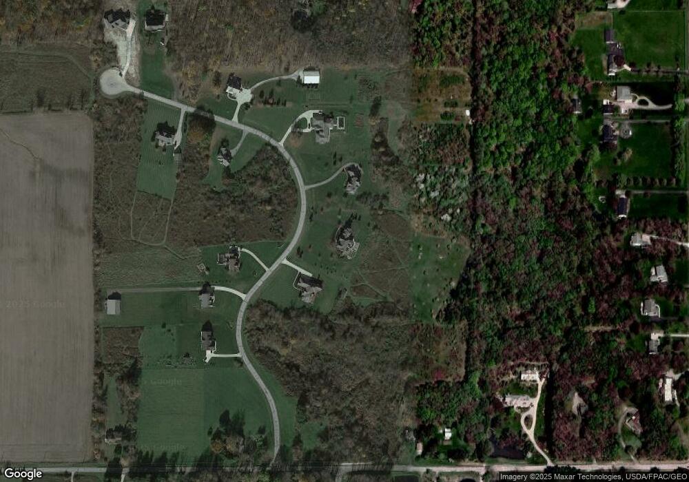
Map
Nearby Homes
- 11955 Fowlers Mill Rd
- 12386 Auburn Rd
- 10571 Mayfield Rd
- 10970 Wood Hollow Dr
- 11785 Stonegate Dr
- 0 Fowlers Mill Rd Unit 5140846
- 10891 Nollwood Dr
- 10036 Wilson Mills Rd
- 10504 Mulberry Rd
- 11571 Basswood Rd
- 10263 Wye Rd
- 9710 Wilson Mills Rd
- 12084 Heath Rd
- 11430 Parkside Rd
- 9610 Wilson Mills Rd
- 11524 Lakeview Rd
- 13190 N Bridle Trail
- 13228 Boulder Glen Dr
- 11375 Bean Rd
- 12790 Heath Rd
- 12145 Arborwood Way
- 12195 Arborwood Way
- S/L 8 Arborwood Way
- 0 Arborwood Way Unit 3164838
- 0 Arborwood Way Unit 3164778
- 0 Arborwood Way Unit 3225551
- 0 Arborwood Way Unit 3225539
- 0 Arborwood Way Unit 4467734
- 0 Arborwood Way Unit 4453686
- 0 Arborwood Way Unit 4446120
- 8 Arborwood
- 9 Arborwood
- 1 SL Arborwood Way
- 12135 Arborwood Way
- 10616 Sherman Rd
- 14 Arborwood Ct
- 12120 Arborwood Way
- 10670 Sherman Rd
- 12154 Fowlers Mill Rd
- 12190 Fowlers Mill Rd