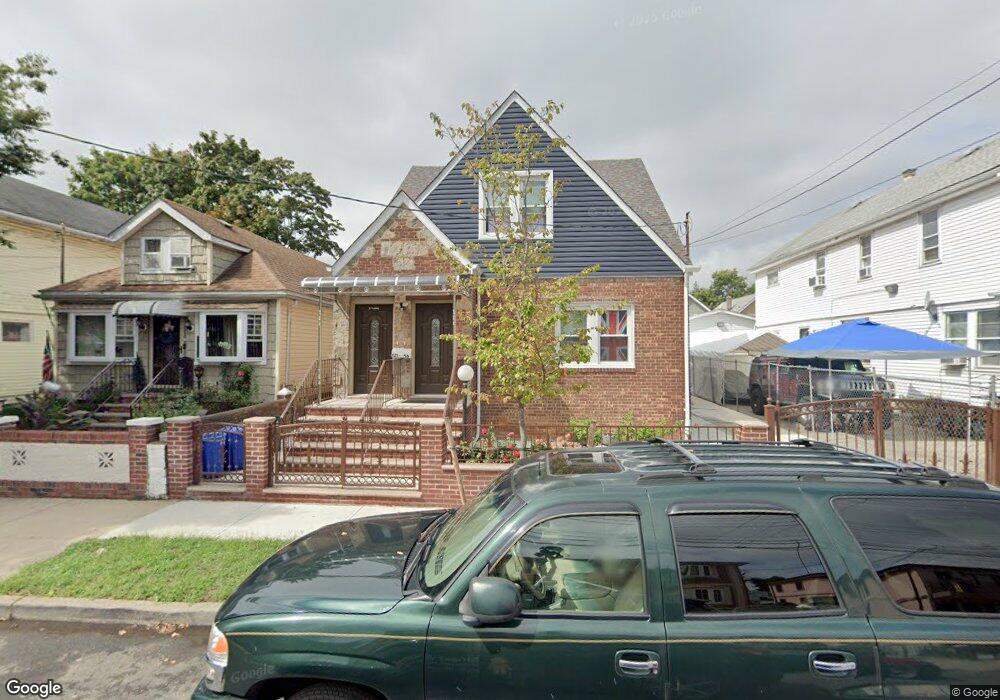
12156 133rd St South Ozone Park, NY 11420
South Ozone Park NeighborhoodEstimated Value: $732,820 - $1,076,000
--
Bed
--
Bath
1,506
Sq Ft
$609/Sq Ft
Est. Value
About This Home
This home is located at 12156 133rd St, South Ozone Park, NY 11420 and is currently estimated at $917,205, approximately $609 per square foot. 12156 133rd St is a home located in Queens County with nearby schools including P.S. 96, J.H.S. 226 Virgil I. Grisson, and John Adams High School.
Ownership History
Date
Name
Owned For
Owner Type
Purchase Details
Closed on
Jan 29, 2021
Sold by
Bradbury Latasha and Estate Of Vernon J Willis
Bought by
Rrp Realty Group Llc
Current Estimated Value
Purchase Details
Closed on
Apr 22, 2019
Sold by
Coward Dolores
Bought by
Bradbury Latasha
Create a Home Valuation Report for This Property
The Home Valuation Report is an in-depth analysis detailing your home's value as well as a comparison with similar homes in the area
Home Values in the Area
Average Home Value in this Area
Purchase History
| Date | Buyer | Sale Price | Title Company |
|---|---|---|---|
| Rrp Realty Group Llc | $775,000 | -- | |
| Bradbury Latasha | -- | -- |
Source: Public Records
Tax History Compared to Growth
Tax History
| Year | Tax Paid | Tax Assessment Tax Assessment Total Assessment is a certain percentage of the fair market value that is determined by local assessors to be the total taxable value of land and additions on the property. | Land | Improvement |
|---|---|---|---|---|
| 2025 | $7,247 | $38,248 | $6,814 | $31,434 |
| 2024 | $7,247 | $36,083 | $6,750 | $29,333 |
| 2023 | $6,914 | $34,042 | $6,404 | $27,638 |
| 2022 | $6,676 | $45,960 | $10,080 | $35,880 |
| 2021 | $6,873 | $38,100 | $10,080 | $28,020 |
| 2020 | $6,747 | $41,880 | $10,080 | $31,800 |
| 2019 | $1,984 | $40,560 | $10,080 | $30,480 |
| 2018 | $1,743 | $28,368 | $8,023 | $20,345 |
| 2017 | $4,447 | $27,867 | $7,700 | $20,167 |
| 2016 | $1,811 | $27,867 | $7,700 | $20,167 |
| 2015 | $1,003 | $26,561 | $9,818 | $16,743 |
| 2014 | $1,003 | $25,058 | $9,263 | $15,795 |
Source: Public Records
Map
Nearby Homes
- 120-56 132nd St
- 120-36 132nd St
- 13013 Sutter Ave
- 13410 Sutter Ave
- 132-01 131st Ave
- 123-45 135th St
- 12321 135th St
- 12940 135th St
- 130-16 130th St
- 12826 Gotham Rd
- 129-55 134th St
- 13305 120th Ave
- 13015 129th St
- 129-28 135th Place
- 131-10 134th St
- 13121 133rd St
- 129-13 135th Place
- 131-15 130th St
- 135-40 Alwick Rd
- 12808 Sutter Ave
- 121-56 133rd St Unit 2
- 121-56 133rd St Unit 1
- 121-56 133rd St
- 12160 133rd St
- 12152 133rd St
- 12164 133rd St
- 12164 133rd St
- 12148 133rd St
- 12166 133rd St
- 12061 132nd St
- 12057 132nd St
- 12146 133rd St
- 12063 132nd St
- 12055 132nd St
- 12170 133rd St
- 12065 132nd St
- 12053 132nd St
- 121-42 133rd St
- 12142 133rd St
- 12051 132nd St