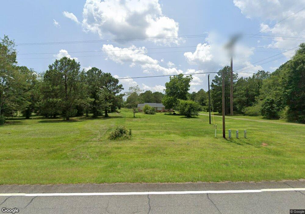
12157 Ga Highway 129 Dry Branch, GA 31020
Estimated Value: $193,000 - $332,958
3
Beds
4
Baths
3,421
Sq Ft
$76/Sq Ft
Est. Value
About This Home
This home is located at 12157 Ga Highway 129, Dry Branch, GA 31020 and is currently estimated at $260,240, approximately $76 per square foot. 12157 Ga Highway 129 is a home located in Twiggs County with nearby schools including Jeffersonville Elementary School, Twiggs Middle School, and Twiggs County High School.
Ownership History
Date
Name
Owned For
Owner Type
Purchase Details
Closed on
Jan 25, 2006
Sold by
Cromontia Lola
Bought by
Banks Calvin
Current Estimated Value
Purchase Details
Closed on
Jun 30, 2004
Sold by
Cromontia Lola
Bought by
Bennett Delain Gail and Norman Paul B
Purchase Details
Closed on
Nov 12, 1990
Bought by
Cromontia Delain and Cromontia L
Create a Home Valuation Report for This Property
The Home Valuation Report is an in-depth analysis detailing your home's value as well as a comparison with similar homes in the area
Home Values in the Area
Average Home Value in this Area
Purchase History
| Date | Buyer | Sale Price | Title Company |
|---|---|---|---|
| Banks Calvin | $41,000 | -- | |
| Bennett Delain Gail | -- | -- | |
| Cromontia Delain | $5,000 | -- |
Source: Public Records
Tax History Compared to Growth
Tax History
| Year | Tax Paid | Tax Assessment Tax Assessment Total Assessment is a certain percentage of the fair market value that is determined by local assessors to be the total taxable value of land and additions on the property. | Land | Improvement |
|---|---|---|---|---|
| 2024 | $2,786 | $83,801 | $9,648 | $74,153 |
| 2023 | $2,792 | $83,801 | $9,648 | $74,153 |
| 2022 | $3,032 | $83,801 | $9,648 | $74,153 |
| 2021 | $3,034 | $83,801 | $9,648 | $74,153 |
| 2020 | $3,034 | $83,801 | $9,648 | $74,153 |
| 2019 | $3,034 | $83,801 | $9,648 | $74,153 |
| 2018 | $2,782 | $83,801 | $9,648 | $74,153 |
| 2017 | $2,911 | $87,680 | $9,648 | $78,032 |
| 2016 | $0 | $78,032 | $0 | $78,032 |
| 2015 | -- | $87,680 | $9,648 | $78,032 |
| 2014 | -- | $87,680 | $9,648 | $78,032 |
| 2013 | -- | $91,672 | $9,648 | $82,024 |
Source: Public Records
Map
Nearby Homes
- 12192 Ga Highway 129
- 14522 Georgia 87
- 14476 Georgia 87
- 0 Georgia Highway 129
- 0 New Bullard Rd Unit 7662260
- 497 T04 River Rd
- 497 T04 River Rd Unit LotWP001
- 9036 Bullard Rd
- 0 Marion-Ripley Rd
- 0 Bullard Rd
- 61 Regina Dr
- LOT 2 the Preserve at Beach Mountain
- 00 Lakeside Terrace
- 0 White Springs Church Rd
- 456 Horseshoe Cir
- 988 Horseshoe Cir
- 1108 Horseshoe Cir
- 949 Marion-Ripley Rd
- 204 Doyle St
- 214 S 3rd St
- 12201 Ga Highway 129
- 12041 Ga Highway 129
- 35 Gold Rd
- 68 Gold Rd
- 12279 Ga Highway 129
- 12278 Ga Highway 129
- 12283 Ga Highway 129
- 256 Curry Dr
- 208 Gold Rd
- 12282 Ga Highway 129
- 12368 Ga Highway 129
- 409 Curry Dr
- 145 Dennard Rd
- 145 Dennard Rd
- . Georgia 87
- Highway 87 Georgia 87
- 12401 Ga Highway 129
- 466 Curry Dr
- 522 Curry Dr
- 801 Alton V White Blvd