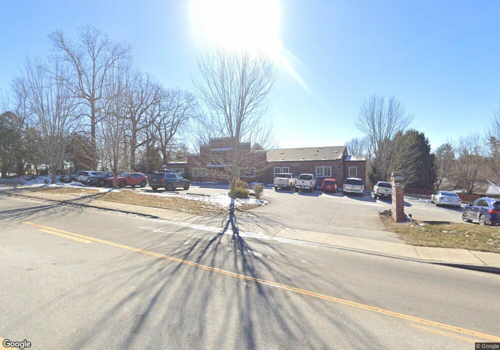
1216 6th Ave W Hendersonville, NC 28739
Estimated Value: $2,701,883
--
Bed
--
Bath
4,615
Sq Ft
$585/Sq Ft
Est. Value
About This Home
This home is located at 1216 6th Ave W, Hendersonville, NC 28739 and is currently estimated at $2,701,883, approximately $585 per square foot. 1216 6th Ave W is a home located in Henderson County with nearby schools including Bruce Drysdale Elementary School, Hendersonville Middle School, and Hendersonville High School.
Ownership History
Date
Name
Owned For
Owner Type
Purchase Details
Closed on
Jan 31, 2025
Sold by
Medwest Llc
Bought by
Morrow Insurance Company Llc
Current Estimated Value
Home Financials for this Owner
Home Financials are based on the most recent Mortgage that was taken out on this home.
Original Mortgage
$2,200,000
Outstanding Balance
$2,186,977
Interest Rate
6.93%
Mortgage Type
Credit Line Revolving
Estimated Equity
$514,906
Create a Home Valuation Report for This Property
The Home Valuation Report is an in-depth analysis detailing your home's value as well as a comparison with similar homes in the area
Home Values in the Area
Average Home Value in this Area
Purchase History
| Date | Buyer | Sale Price | Title Company |
|---|---|---|---|
| Morrow Insurance Company Llc | $2,700,000 | None Listed On Document | |
| Morrow Insurance Company Llc | $2,700,000 | None Listed On Document |
Source: Public Records
Mortgage History
| Date | Status | Borrower | Loan Amount |
|---|---|---|---|
| Open | Morrow Insurance Company Llc | $2,200,000 | |
| Closed | Morrow Insurance Company Llc | $2,200,000 |
Source: Public Records
Tax History Compared to Growth
Tax History
| Year | Tax Paid | Tax Assessment Tax Assessment Total Assessment is a certain percentage of the fair market value that is determined by local assessors to be the total taxable value of land and additions on the property. | Land | Improvement |
|---|---|---|---|---|
| 2025 | $7,527 | $791,500 | $0 | $791,500 |
| 2024 | $7,527 | $791,500 | $0 | $791,500 |
| 2023 | $7,290 | $791,500 | $0 | $791,500 |
| 2022 | $7,742 | $716,200 | $0 | $716,200 |
| 2021 | $7,527 | $716,200 | $0 | $716,200 |
| 2020 | -- | $716,200 | $0 | $0 |
| 2019 | -- | $716,200 | $0 | $0 |
| 2018 | $3,395 | $600,900 | $0 | $0 |
| 2017 | $3,395 | $600,900 | $0 | $0 |
| 2016 | $3,395 | $600,900 | $0 | $0 |
Source: Public Records
Map
Nearby Homes
- 672 Blythe St
- 106 Laurelwood Cir W Unit 3
- TBD Davenport Hills Rd
- 102 Glenbrook Dr
- 1329 4th Ave W Unit A
- 1016 Orleans Ave
- 737 Florida Ave
- 515 Broadway St
- 252 Wash Creek Dr Unit H
- 201 Juniper Ln
- 627 Delaware Ln
- 195 Jordan St
- 630 Britton Creek Dr
- 528 Glasgow Ln
- 835 3rd Ave W
- 55 Laurel Spring Ln
- 580 Britton Creek Dr
- 1745 Haywood Manor Rd Unit A
- 527 Glasgow Ln
- 411 Britton Creek Dr Unit 401
- 1216 6th Ave W Unit Suite E
- 668 Blythe St
- 664 Blythe St
- 1020 7th Ave W
- 109 W Blythe Cir
- 671 Blythe St
- 681 Blythe St
- 0 Brevard Rd Unit NCM468029
- Lot # 4 Brevard Rd
- Lot # 2 Brevard Rd
- 00 Brevard Rd
- 1133 7th Ave W
- 665 Blythe St
- 654 Blythe St
- 129 W Blythe Cir
- 1195 Woodmont Dr
- 721 Prince Dr
- 999 Bungalow Way Unit 5
- 657 Blythe St
- 1029 7th Ave W