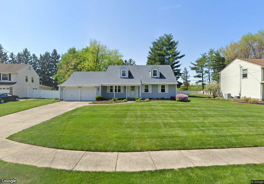
1216 Barnesdale Ct West Deptford, NJ 08096
West Deptford Township NeighborhoodEstimated Value: $438,424 - $544,000
--
Bed
--
Bath
2,403
Sq Ft
$208/Sq Ft
Est. Value
About This Home
This home is located at 1216 Barnesdale Ct, West Deptford, NJ 08096 and is currently estimated at $499,856, approximately $208 per square foot. 1216 Barnesdale Ct is a home located in Gloucester County with nearby schools including Green-Fields Elementary School, Oakview Elementary School, and Red Bank Elementary School.
Ownership History
Date
Name
Owned For
Owner Type
Purchase Details
Closed on
Dec 21, 2001
Sold by
Morris James E and Morris Maria D
Bought by
Morris James E and Morris Maria D
Current Estimated Value
Create a Home Valuation Report for This Property
The Home Valuation Report is an in-depth analysis detailing your home's value as well as a comparison with similar homes in the area
Home Values in the Area
Average Home Value in this Area
Purchase History
| Date | Buyer | Sale Price | Title Company |
|---|---|---|---|
| Morris James E | -- | -- |
Source: Public Records
Tax History Compared to Growth
Tax History
| Year | Tax Paid | Tax Assessment Tax Assessment Total Assessment is a certain percentage of the fair market value that is determined by local assessors to be the total taxable value of land and additions on the property. | Land | Improvement |
|---|---|---|---|---|
| 2025 | $10,130 | $290,100 | $69,000 | $221,100 |
| 2024 | $10,000 | $290,100 | $69,000 | $221,100 |
| 2023 | $10,000 | $290,100 | $69,000 | $221,100 |
| 2022 | $9,953 | $290,100 | $69,000 | $221,100 |
| 2021 | $9,119 | $290,100 | $69,000 | $221,100 |
| 2020 | $9,895 | $290,100 | $69,000 | $221,100 |
| 2019 | $9,620 | $290,100 | $69,000 | $221,100 |
| 2018 | $9,359 | $290,100 | $69,000 | $221,100 |
| 2017 | $9,141 | $290,100 | $69,000 | $221,100 |
| 2016 | $8,636 | $290,100 | $69,000 | $221,100 |
| 2015 | $8,215 | $290,100 | $69,000 | $221,100 |
| 2014 | $7,794 | $290,100 | $69,000 | $221,100 |
Source: Public Records
Map
Nearby Homes
- 1102 Barnesdale Rd
- 1220 Royal Ln
- 87 Woodway Dr Unit 87
- 4 Saint Emilion Ct
- 1311 Barnesdale Rd
- 863 Doncaster Dr
- 1810 Fernwood Dr
- 740 Carter Hill Dr
- 640 Worcester Dr
- 12 Highbridge Ln Unit I2
- 125 Lionheart Ln Unit C125
- 1012 Moore Rd Unit 6
- 558 Prince St
- 1066 Buckingham Dr
- 1091 Buckingham Dr Unit 45
- 51 Holly Dr
- 609 Salem Ave
- 608 Salem Ave
- 10 Meadow Ln
- 438 S Columbia St
- 1208 Barnesdale Ct
- 1224 Barnesdale Ct
- 1200 Barnesdale Ct
- 1232 Barnesdale Ct
- 1217 Barnesdale Ct
- 1209 Barnesdale Ct
- 1225 Barnesdale Ct
- 1209 Rolling Brook Blvd
- 1201 Barnesdale Ct
- 1220 Parkland Commons
- 1220 Parkland Commons
- 389 Nottingham Rd
- 1218 Parkland Commons
- 893 Marian Rd
- 897 Marian Rd
- 1218 Parkland Commons
- 889 Marian Rd
- 385 Nottingham Rd
- 1207 Rolling Brook Blvd
- 885 Marian Rd