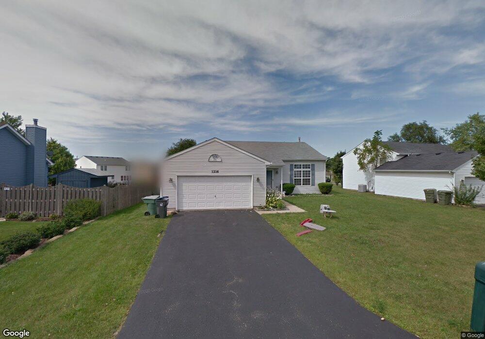
1216 Butterfield Ln Zion, IL 60099
West Zion NeighborhoodEstimated Value: $254,037 - $274,000
3
Beds
2
Baths
912
Sq Ft
$291/Sq Ft
Est. Value
About This Home
This home is located at 1216 Butterfield Ln, Zion, IL 60099 and is currently estimated at $265,509, approximately $291 per square foot. 1216 Butterfield Ln is a home located in Lake County with nearby schools including Newport Elementary School, Beach Park Middle School, and Zion-Benton Township High School.
Ownership History
Date
Name
Owned For
Owner Type
Purchase Details
Closed on
May 15, 2003
Sold by
Seballos Andrew Agustin and Seballos Angela R
Bought by
Godinez Jose L and Villegas Martha V
Current Estimated Value
Home Financials for this Owner
Home Financials are based on the most recent Mortgage that was taken out on this home.
Original Mortgage
$158,137
Outstanding Balance
$69,180
Interest Rate
5.88%
Mortgage Type
FHA
Estimated Equity
$196,329
Purchase Details
Closed on
May 19, 1999
Sold by
Bank Of Waukegan
Bought by
Seballos Andrew Agustin and Tomey Angela R
Home Financials for this Owner
Home Financials are based on the most recent Mortgage that was taken out on this home.
Original Mortgage
$125,665
Interest Rate
6.94%
Mortgage Type
FHA
Create a Home Valuation Report for This Property
The Home Valuation Report is an in-depth analysis detailing your home's value as well as a comparison with similar homes in the area
Home Values in the Area
Average Home Value in this Area
Purchase History
| Date | Buyer | Sale Price | Title Company |
|---|---|---|---|
| Godinez Jose L | $164,000 | -- | |
| Seballos Andrew Agustin | $127,000 | Chicago Title Insurance Co |
Source: Public Records
Mortgage History
| Date | Status | Borrower | Loan Amount |
|---|---|---|---|
| Open | Godinez Jose L | $158,137 | |
| Previous Owner | Seballos Andrew Agustin | $125,665 |
Source: Public Records
Tax History Compared to Growth
Tax History
| Year | Tax Paid | Tax Assessment Tax Assessment Total Assessment is a certain percentage of the fair market value that is determined by local assessors to be the total taxable value of land and additions on the property. | Land | Improvement |
|---|---|---|---|---|
| 2024 | $6,448 | $65,577 | $9,906 | $55,671 |
| 2023 | $5,937 | $58,467 | $8,832 | $49,635 |
| 2022 | $5,937 | $51,505 | $7,243 | $44,262 |
| 2021 | $5,834 | $48,317 | $6,795 | $41,522 |
| 2020 | $5,609 | $45,445 | $6,391 | $39,054 |
| 2019 | $5,437 | $42,333 | $5,953 | $36,380 |
| 2018 | $4,777 | $37,403 | $5,420 | $31,983 |
| 2017 | $4,670 | $34,697 | $5,028 | $29,669 |
| 2016 | $4,291 | $31,497 | $4,564 | $26,933 |
| 2015 | $4,076 | $28,579 | $4,141 | $24,438 |
| 2014 | $3,695 | $26,855 | $3,955 | $22,900 |
| 2012 | $4,185 | $28,600 | $4,212 | $24,388 |
Source: Public Records
Map
Nearby Homes
- 1302 Lorelei Dr
- 1304 Lorelei Dr
- 1417 Westside Trail
- 4014 Ridge Rd
- 3717 Willow Crest Dr
- 908 Countrywood Dr
- 3707 Willow Crest Dr
- 0 9th St
- 4539 Illinois 173
- 4533 Illinois 173
- 1304 Pelican Ct
- 41320 N Green Bay Rd
- 1916 Sunshine Ct
- 2010 Sunset Ct
- 1531 Southport Ct
- 1521 Southport Ct
- 1405 Lewis Ave
- 42334 N Heritage Lot 7 Trail
- 12434 W Van Ct
- 43389 N Oakcrest Ln
- 1214 Butterfield Ln
- 1300 Butterfield Ln
- 1235 Pheasant Run
- 1302 Butterfield Ln
- 1237 Pheasant Run
- 4210 Highland Rd
- 3800 Tickseed Dr
- 1215 Butterfield Ln
- 1301 Reed Rd
- 1304 Butterfield Ln
- 1239 Pheasant Run
- 1232 Pheasant Run
- 4208 Highland Rd
- 1234 Pheasant Run
- 1230 Pheasant Run
- 4211 Highland Rd
- 1227 Pheasant Run
- 3802 Tickseed Dr
- 1236 Pheasant Run
- 1303 Reed Rd