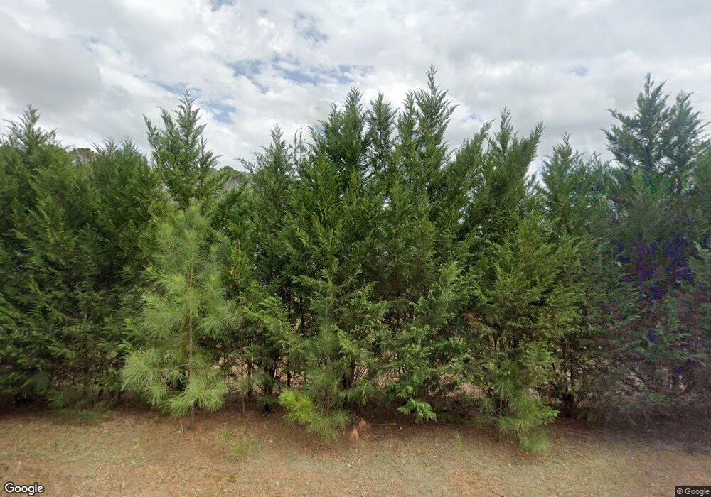
1216 Craig Dr Unit 2 Locust Grove, GA 30248
Estimated Value: $521,000 - $575,000
4
Beds
3
Baths
2,052
Sq Ft
$269/Sq Ft
Est. Value
About This Home
This home is located at 1216 Craig Dr Unit 2, Locust Grove, GA 30248 and is currently estimated at $551,598, approximately $268 per square foot. 1216 Craig Dr Unit 2 is a home located in Henry County with nearby schools including New Hope Elementary School and Ola Middle School.
Ownership History
Date
Name
Owned For
Owner Type
Purchase Details
Closed on
Aug 2, 2024
Sold by
Evans Scott A
Bought by
Peachey Bernadette and Peachey Randall
Current Estimated Value
Home Financials for this Owner
Home Financials are based on the most recent Mortgage that was taken out on this home.
Original Mortgage
$452,000
Outstanding Balance
$446,560
Interest Rate
6.95%
Mortgage Type
New Conventional
Estimated Equity
$105,038
Purchase Details
Closed on
May 31, 2019
Sold by
Evans Scott A
Bought by
Evans Scott A and Evans Melissa Karen
Home Financials for this Owner
Home Financials are based on the most recent Mortgage that was taken out on this home.
Original Mortgage
$191,500
Interest Rate
4.1%
Mortgage Type
New Conventional
Create a Home Valuation Report for This Property
The Home Valuation Report is an in-depth analysis detailing your home's value as well as a comparison with similar homes in the area
Home Values in the Area
Average Home Value in this Area
Purchase History
| Date | Buyer | Sale Price | Title Company |
|---|---|---|---|
| Peachey Bernadette | $565,000 | -- | |
| Evans Scott A | -- | -- |
Source: Public Records
Mortgage History
| Date | Status | Borrower | Loan Amount |
|---|---|---|---|
| Open | Peachey Bernadette | $452,000 | |
| Previous Owner | Evans Scott A | $191,500 |
Source: Public Records
Tax History Compared to Growth
Tax History
| Year | Tax Paid | Tax Assessment Tax Assessment Total Assessment is a certain percentage of the fair market value that is determined by local assessors to be the total taxable value of land and additions on the property. | Land | Improvement |
|---|---|---|---|---|
| 2025 | $9,733 | $245,200 | $29,880 | $215,320 |
| 2024 | $9,733 | $216,360 | $26,880 | $189,480 |
| 2023 | $6,037 | $201,240 | $25,880 | $175,360 |
| 2022 | $5,814 | $170,440 | $23,920 | $146,520 |
| 2021 | $5,316 | $149,360 | $20,520 | $128,840 |
| 2020 | $5,024 | $137,000 | $19,320 | $117,680 |
| 2019 | $3,227 | $83,080 | $18,320 | $64,760 |
Source: Public Records
Map
Nearby Homes
- 1611 Laney Rd
- 238 Knob Hill Dr
- 0 S Ola Rd Unit 10563258
- 813 S Ola Rd
- 314 Marbella Way
- 407 Victoria Place Dr
- 888 Laney Rd
- 143 Whitworth Dr Unit 10
- 143 Whitworth Dr
- 147 Whitworth Dr
- 214 Knob Hill Dr
- 150 Whitworth Dr
- 1712 New Hope Rd
- 121 Ducati Dr
- 114 Aristocratic Way
- 148 Leguin Forest Dr
- 732 New Hope Rd
- 312 Black Willow Ct
- 2371 Leguin Mill Rd
- 0 New Hope Rd Unit 10647656
- 1216 Craig Dr
- 1540 Stinson Ln
- 1505 Stinson Ln
- 705 Plow Point
- 1548 Stinson Ln
- 1500 Stinson Ln
- 1530 Stinson Ln
- 704 Lovie Cir
- 1520 Stinson Ln
- 1560 Stinson Ln
- 1551 Stinson Ln
- 1567 Stinson Ln
- 1529 Stinson Ln
- 1552 Stinson Ln
- 700 Lovie Cir
- 701 Lovie Cir
- 1513 Stinson Ln
- 1517 Stinson Ln
- 1513 Stinson Ln Unit PHASE II LOT 48
- 705 Lovie Cir
