Estimated Value: $210,000 - $336,000
3
Beds
2
Baths
1,917
Sq Ft
$148/Sq Ft
Est. Value
About This Home
This home is located at 1216 Daniel Rd, York, SC 29745 and is currently estimated at $283,059, approximately $147 per square foot. 1216 Daniel Rd is a home located in York County with nearby schools including Cotton Belt Elementary School, York Intermediate School, and York Middle School.
Ownership History
Date
Name
Owned For
Owner Type
Purchase Details
Closed on
Jan 26, 2009
Sold by
Federal Home Loan Mortgage Corporation
Bought by
Dover Michael S
Current Estimated Value
Home Financials for this Owner
Home Financials are based on the most recent Mortgage that was taken out on this home.
Original Mortgage
$55,612
Outstanding Balance
$34,942
Interest Rate
5.15%
Mortgage Type
Purchase Money Mortgage
Estimated Equity
$248,117
Purchase Details
Closed on
Mar 19, 2008
Sold by
Broach John
Bought by
Federal Home Loan Mortgage Corporation
Create a Home Valuation Report for This Property
The Home Valuation Report is an in-depth analysis detailing your home's value as well as a comparison with similar homes in the area
Home Values in the Area
Average Home Value in this Area
Purchase History
| Date | Buyer | Sale Price | Title Company |
|---|---|---|---|
| Dover Michael S | $53,000 | -- | |
| Federal Home Loan Mortgage Corporation | $70,000 | None Available |
Source: Public Records
Mortgage History
| Date | Status | Borrower | Loan Amount |
|---|---|---|---|
| Open | Dover Michael S | $55,612 |
Source: Public Records
Tax History
| Year | Tax Paid | Tax Assessment Tax Assessment Total Assessment is a certain percentage of the fair market value that is determined by local assessors to be the total taxable value of land and additions on the property. | Land | Improvement |
|---|---|---|---|---|
| 2025 | $977 | $5,660 | $1,252 | $4,408 |
| 2024 | $824 | $4,922 | $1,040 | $3,882 |
| 2023 | $842 | $4,922 | $1,040 | $3,882 |
| 2022 | $845 | $4,922 | $1,040 | $3,882 |
| 2021 | -- | $4,922 | $1,040 | $3,882 |
| 2020 | $842 | $4,922 | $0 | $0 |
| 2019 | $762 | $4,280 | $0 | $0 |
| 2018 | $733 | $4,280 | $0 | $0 |
| 2017 | $696 | $4,280 | $0 | $0 |
| 2016 | $687 | $4,280 | $0 | $0 |
| 2014 | $714 | $4,280 | $800 | $3,480 |
| 2013 | $714 | $4,760 | $880 | $3,880 |
Source: Public Records
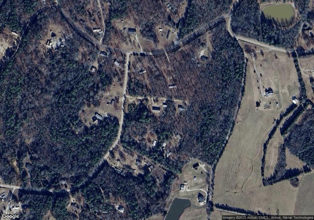
Map
Nearby Homes
- 1846 Apple Blossom Rd
- 2009 Sugar Hill Rd
- 357 Pendergrass Rd
- 1106 Sierra Rd
- 137 Cedar Grove Rd
- 1643 Mallard Bay Rd
- 1639 +1643 Mallard Bay Rd Unit 17 & 18
- 113 Tanager Dr
- 1639 Mallard Bay Rd
- 1168 Sutton Spring Rd
- Black Hwy
- Tract C Cedar Grove Rd
- 175 Diane Rd
- 1595 Sierra Rd
- 1610 Sierra Rd
- 161 Bezelle Ave
- 000 Black Hwy
- 208 Bezelle Ave
- 220 Bezelle Ave
- 228 Bezelle Ave
- 1218 Daniel Rd
- 1224 Daniel Rd Unit A
- 1228 Daniel Rd
- 2091 Apple Blossom Rd
- 1211 Daniel Rd
- 1238 Daniel Rd
- 1201 Daniel Rd
- 1201 Daniel Rd
- 1229 Daniel Rd
- 1255 Oregon Trail
- 1236 Daniel Rd
- 1809 Apple Blossom Rd
- 1830 Apple Blossom Rd
- 1843 Apple Blossom Rd
- 1843 Apple Blossom Rd Unit pt37
- 000 Apple Blossom Rd
- 1248 Daniel Rd
- 1838 Apple Blossom Rd
- 000 Mitchell Rd
- 1855 Apple Blossom Rd
Your Personal Tour Guide
Ask me questions while you tour the home.