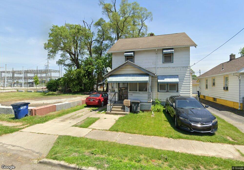
1216 Elysian Ave Toledo, OH 43607
Scott Park NeighborhoodEstimated Value: $93,000 - $113,000
2
Beds
2
Baths
1,258
Sq Ft
$81/Sq Ft
Est. Value
About This Home
This home is located at 1216 Elysian Ave, Toledo, OH 43607 and is currently estimated at $102,150, approximately $81 per square foot. 1216 Elysian Ave is a home located in Lucas County with nearby schools including Keyser Elementary School, Rogers High School, and Victory Academy of Toledo.
Ownership History
Date
Name
Owned For
Owner Type
Purchase Details
Closed on
Jun 2, 2021
Sold by
Neal Clay E
Bought by
Motivations Transporation Limited Llc
Current Estimated Value
Purchase Details
Closed on
Nov 3, 2017
Sold by
Lippert Vicki A
Bought by
Neal Clay E
Purchase Details
Closed on
Nov 18, 2010
Sold by
Lippert Vicki A and Lippert Arthur W
Bought by
Lippert Vicki A
Purchase Details
Closed on
Apr 12, 2003
Sold by
Haynes Timothy
Bought by
Lippert Vicki
Create a Home Valuation Report for This Property
The Home Valuation Report is an in-depth analysis detailing your home's value as well as a comparison with similar homes in the area
Home Values in the Area
Average Home Value in this Area
Purchase History
| Date | Buyer | Sale Price | Title Company |
|---|---|---|---|
| Motivations Transporation Limited Llc | $300 | None Available | |
| Neal Clay E | $8,600 | Louisville Title Agency | |
| Lippert Vicki A | -- | Attorney | |
| Lippert Vicki | $20,050 | -- |
Source: Public Records
Tax History Compared to Growth
Tax History
| Year | Tax Paid | Tax Assessment Tax Assessment Total Assessment is a certain percentage of the fair market value that is determined by local assessors to be the total taxable value of land and additions on the property. | Land | Improvement |
|---|---|---|---|---|
| 2024 | $18,722 | $27,090 | $4,585 | $22,505 |
| 2023 | $1,424 | $21,560 | $3,080 | $18,480 |
| 2022 | $1,424 | $21,560 | $3,080 | $18,480 |
| 2021 | $1,459 | $21,560 | $3,080 | $18,480 |
| 2020 | $1,570 | $20,650 | $2,905 | $17,745 |
| 2019 | $1,533 | $20,650 | $2,905 | $17,745 |
| 2018 | $1,543 | $20,650 | $2,905 | $17,745 |
| 2017 | $1,573 | $20,160 | $2,835 | $17,325 |
| 2016 | $1,568 | $57,600 | $8,100 | $49,500 |
| 2015 | $1,553 | $57,600 | $8,100 | $49,500 |
| 2014 | $1,304 | $20,170 | $2,840 | $17,330 |
| 2013 | $1,304 | $20,170 | $2,840 | $17,330 |
Source: Public Records
Map
Nearby Homes
- 1117 Broer Ave
- 914 Turner Ave
- 1408 Roosevelt Ave
- 1743 Kensington Rd
- 2666 Montebello Rd
- 1752 Pilgrim Rd
- 1702 Alvin St
- 1809 Pilgrim Rd
- 1730 Alvin St
- 1735 Perth St
- 1814 Alvin St
- 514 Conrad Ave
- 1125 Secor Rd
- 1901 Alvin St
- 1911 Alvin St
- 2547 Greenbriar Rd
- 1917 Alvin St
- 1106 Alldays Ave
- 2019 Kensington Rd
- 2013 Bretton Place
- 1212 Elysian Ave
- 1210 Elysian Ave
- 1206 Elysian Ave
- 1215 Bowlus Ave
- 1213 Bowlus Ave
- 1209 Bowlus Ave
- 1202 Elysian Ave
- 1205 Bowlus Ave
- 1215 Elysian Ave
- 1213 Elysian Ave
- 2801 Dorr St
- 1201 Bowlus Ave
- 1205 Elysian Ave
- 1129 Bowlus Ave
- 1128 Elysian Ave
- 2835 Dorr St
- 1129 Elysian Ave
- 1124 Elysian Ave
- 1127 Elysian Ave
- 1123 Bowlus Ave