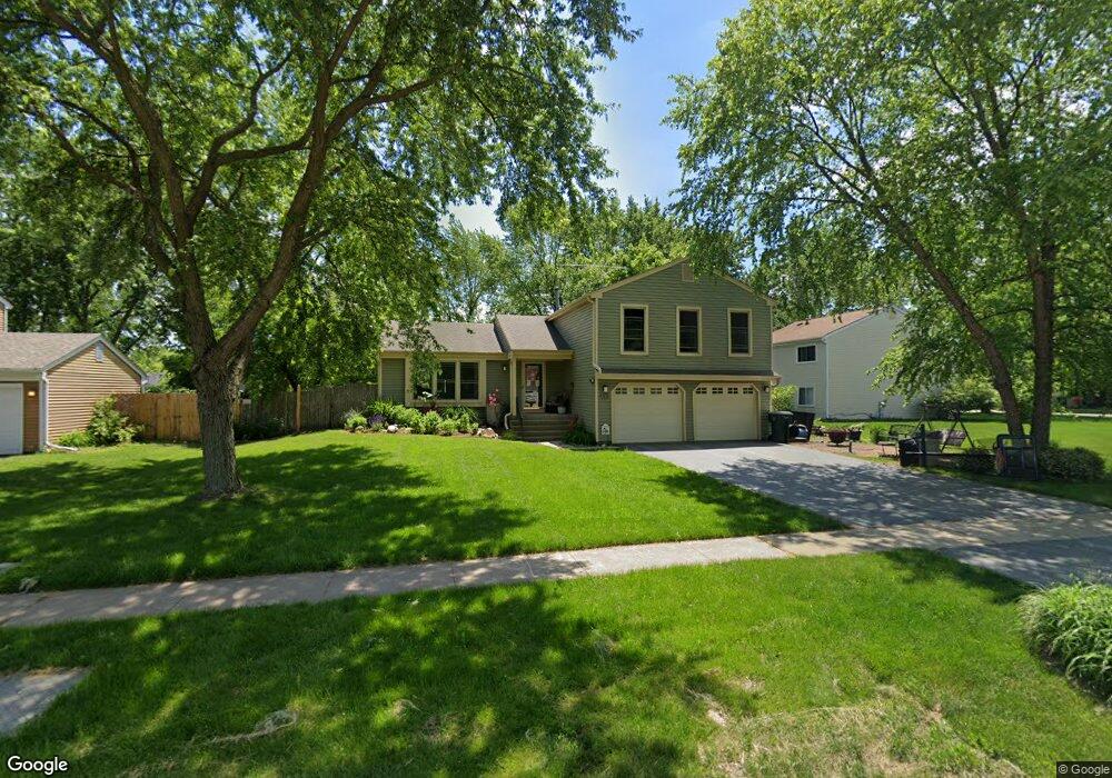
1216 Giese Rd Batavia, IL 60510
Southeast Batavia NeighborhoodEstimated Value: $425,307 - $475,000
4
Beds
3
Baths
2,089
Sq Ft
$214/Sq Ft
Est. Value
About This Home
This home is located at 1216 Giese Rd, Batavia, IL 60510 and is currently estimated at $447,827, approximately $214 per square foot. 1216 Giese Rd is a home located in Kane County with nearby schools including Hoover Wood Elementary School, Sam Rotolo Middle School, and Batavia Sr High School.
Ownership History
Date
Name
Owned For
Owner Type
Purchase Details
Closed on
Apr 12, 2004
Sold by
Lasalle Bank Na
Bought by
Meyer Richard L and Meyer Christina M
Current Estimated Value
Home Financials for this Owner
Home Financials are based on the most recent Mortgage that was taken out on this home.
Original Mortgage
$246,900
Outstanding Balance
$116,188
Interest Rate
5.66%
Mortgage Type
Purchase Money Mortgage
Estimated Equity
$331,639
Create a Home Valuation Report for This Property
The Home Valuation Report is an in-depth analysis detailing your home's value as well as a comparison with similar homes in the area
Home Values in the Area
Average Home Value in this Area
Purchase History
| Date | Buyer | Sale Price | Title Company |
|---|---|---|---|
| Meyer Richard L | $260,000 | Chicago Title Insurance Comp |
Source: Public Records
Mortgage History
| Date | Status | Borrower | Loan Amount |
|---|---|---|---|
| Open | Meyer Richard L | $246,900 |
Source: Public Records
Tax History Compared to Growth
Tax History
| Year | Tax Paid | Tax Assessment Tax Assessment Total Assessment is a certain percentage of the fair market value that is determined by local assessors to be the total taxable value of land and additions on the property. | Land | Improvement |
|---|---|---|---|---|
| 2024 | $8,723 | $118,322 | $23,129 | $95,193 |
| 2023 | $8,529 | $107,390 | $20,992 | $86,398 |
| 2022 | $8,240 | $100,365 | $19,619 | $80,746 |
| 2021 | $7,906 | $95,187 | $18,607 | $76,580 |
| 2020 | $7,710 | $93,357 | $18,249 | $75,108 |
| 2019 | $7,580 | $90,052 | $17,603 | $72,449 |
| 2018 | $7,274 | $86,621 | $16,932 | $69,689 |
| 2017 | $7,095 | $83,765 | $16,374 | $67,391 |
| 2016 | $6,941 | $81,325 | $15,897 | $65,428 |
| 2015 | -- | $79,473 | $15,535 | $63,938 |
| 2014 | -- | $76,971 | $15,046 | $61,925 |
| 2013 | -- | $75,469 | $14,752 | $60,717 |
Source: Public Records
Map
Nearby Homes
- 1335 Chillem Dr
- 943 Orchard Ct
- 1017 Willow Ln Unit 2
- 1136 Pine Ct
- 918 S Raddant Rd
- 1667 S Raddant Rd
- 610 Norcross Dr
- 941 Stanton St
- 1148 Miller Ct
- 1548 Wind Energy Pass
- 509 S Forest Ave
- 473 Bond Dr
- 1580 Wind Energy Pass
- 3S201 S Raddant Rd
- 733 Wind Energy Pass
- Lot 4 Manchester Ave
- 1326 Foxglove Dr
- 1324 Foxglove Dr
- 1328 Foxglove Dr
- 1322 Foxglove Dr
- 1224 Giese Rd
- 1208 Larkspur Ln Unit 1
- 1216 Larkspur Ln
- 1214 Hillsboro Dr Unit 2
- 1232 Giese Rd Unit 1
- 1216 Hillsboro Dr Unit 2
- 1224 Larkspur Ln Unit 1
- 1215 Giese Rd
- 1155 Woodland Hills Rd
- 1212 Hillsboro Dr
- 1240 Giese Rd
- 1198 Giese Rd Unit 1
- 1218 Hillsboro Dr Unit 2
- 1195 Hanover Dr
- 1210 Hillsboro Dr
- 1152 Larkspur Ln
- 1147 Woodland Hills Rd
- 1308 Giese Rd Unit 2
- 1226 Hillsboro Dr
- 1192 Giese Rd Unit 1