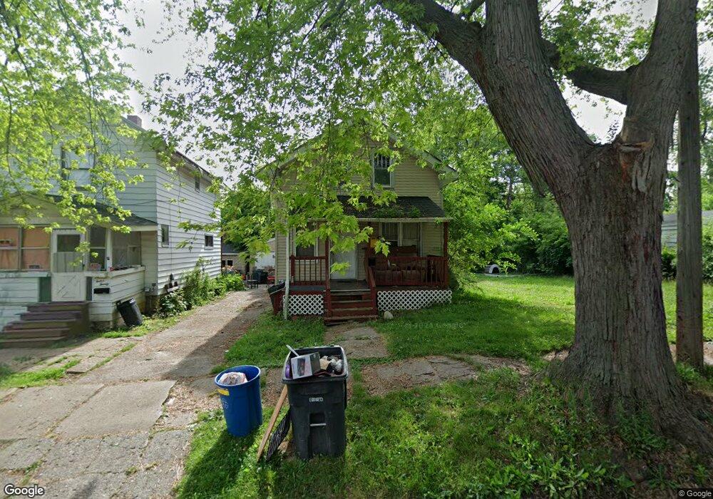
1216 Minnesota Ave Flint, MI 48506
Eastside NeighborhoodEstimated Value: $32,000 - $57,000
3
Beds
1
Bath
910
Sq Ft
$47/Sq Ft
Est. Value
About This Home
This home is located at 1216 Minnesota Ave, Flint, MI 48506 and is currently estimated at $42,976, approximately $47 per square foot. 1216 Minnesota Ave is a home located in Genesee County with nearby schools including Doyle/Ryder School, Flint Cultural Center Academy, and WAY Academy of Flint.
Ownership History
Date
Name
Owned For
Owner Type
Purchase Details
Closed on
Feb 22, 2023
Sold by
Faa Samoa Llc
Bought by
Siqueiros Holdings Llc
Current Estimated Value
Purchase Details
Closed on
Nov 17, 2022
Sold by
Genesee County Treasurer
Bought by
Faa Samoa Llc
Purchase Details
Closed on
Feb 11, 2013
Sold by
Reitano Rand
Bought by
Brockway Russell and Campbell Heather
Home Financials for this Owner
Home Financials are based on the most recent Mortgage that was taken out on this home.
Original Mortgage
$8,750
Interest Rate
10%
Mortgage Type
Seller Take Back
Purchase Details
Closed on
Sep 17, 2001
Sold by
Bauer Kristen A and Mca Financial Corp Et Al
Bought by
Forcia Floyd J
Purchase Details
Closed on
Sep 11, 2001
Sold by
Forcia Flody J
Bought by
Loukes Gerald L and Vaughn Loreta
Create a Home Valuation Report for This Property
The Home Valuation Report is an in-depth analysis detailing your home's value as well as a comparison with similar homes in the area
Home Values in the Area
Average Home Value in this Area
Purchase History
| Date | Buyer | Sale Price | Title Company |
|---|---|---|---|
| Siqueiros Holdings Llc | $45,000 | Liberty Title | |
| Faa Samoa Llc | $1,200 | -- | |
| Brockway Russell | $12,500 | None Available | |
| Forcia Floyd J | -- | Guaranty Title Company | |
| Loukes Gerald L | $10,000 | Guaranty Title Company |
Source: Public Records
Mortgage History
| Date | Status | Borrower | Loan Amount |
|---|---|---|---|
| Previous Owner | Brockway Russell | $8,750 |
Source: Public Records
Tax History Compared to Growth
Tax History
| Year | Tax Paid | Tax Assessment Tax Assessment Total Assessment is a certain percentage of the fair market value that is determined by local assessors to be the total taxable value of land and additions on the property. | Land | Improvement |
|---|---|---|---|---|
| 2025 | $880 | $8,900 | $0 | $0 |
| 2024 | $821 | $8,600 | $0 | $0 |
| 2023 | $716 | $6,800 | $0 | $0 |
| 2022 | $0 | $6,600 | $0 | $0 |
| 2021 | $531 | $5,700 | $0 | $0 |
| 2020 | $494 | $5,500 | $0 | $0 |
| 2019 | $491 | $4,700 | $0 | $0 |
| 2018 | $941 | $5,100 | $0 | $0 |
| 2017 | $514 | $0 | $0 | $0 |
| 2016 | $469 | $0 | $0 | $0 |
| 2015 | -- | $0 | $0 | $0 |
| 2014 | -- | $0 | $0 | $0 |
| 2012 | -- | $6,600 | $0 | $0 |
Source: Public Records
Map
Nearby Homes
- 1644 Pennsylvania Ave
- 1318 Cronk Ave
- 1501 Arlington Ave
- 1622 Arlington Ave
- 1510 N Vernon Ave
- 2301 Missouri Ave
- 1379 Washington Ave
- 1529 Broadway Blvd
- 301 Chandler St
- 2605 Nebraska Ave
- 1805 Bennett Ave
- 2610 Pennsylvania Ave
- 406 S Lynch St
- 1814 Mabel Ave
- 1623 Montclair Ave
- 2225 Arlington Ave
- 524 S Lynch St
- 2131 Windemere Ave
- 1513 Jane Ave
- 605 S Lynch St
- 1710 Missouri Ave
- 1714 Missouri Ave
- 1705 Kentucky Ave
- 1701 Kentucky Ave
- 1215 Minnesota Ave
- 1713 Kentucky Ave
- 1652 Missouri Ave
- 1718 Missouri Ave
- 1657 Kentucky Ave
- 1312 Minnesota Ave
- 1701 Missouri Ave
- 1705 Missouri Ave
- 1717 Kentucky Ave
- 1709 Missouri Ave
- 1653 Kentucky Ave
- 1648 Missouri Ave
- 1713 Missouri Ave
- 1657 Missouri Ave
- 1721 Kentucky Ave
- 1726 Missouri Ave