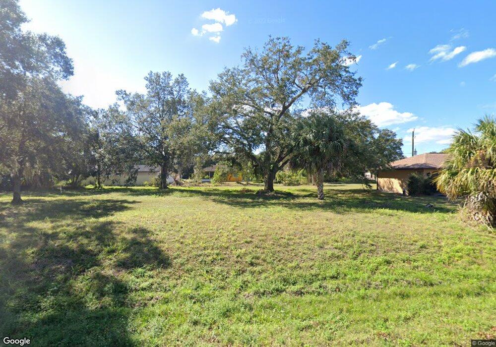
1216 Roswell Dr NW Port Charlotte, FL 33948
Estimated Value: $14,000 - $51,000
--
Bed
--
Bath
--
Sq Ft
10,019
Sq Ft Lot
About This Home
This home is located at 1216 Roswell Dr NW, Port Charlotte, FL 33948 and is currently estimated at $32,500. 1216 Roswell Dr NW is a home located in Charlotte County with nearby schools including Meadow Park Elementary School, Murdock Middle School, and Port Charlotte High School.
Ownership History
Date
Name
Owned For
Owner Type
Purchase Details
Closed on
Mar 10, 2021
Sold by
Kim Stevens Investment Company Llc
Bought by
Harborpoint Investment Group Llc
Current Estimated Value
Purchase Details
Closed on
Feb 13, 2014
Sold by
Hall Barbara Lewis
Bought by
Kim Stevens Investment Company Llc
Purchase Details
Closed on
Mar 15, 2004
Sold by
Bader Albert W
Bought by
Hall Barbara Lewis
Create a Home Valuation Report for This Property
The Home Valuation Report is an in-depth analysis detailing your home's value as well as a comparison with similar homes in the area
Home Values in the Area
Average Home Value in this Area
Purchase History
| Date | Buyer | Sale Price | Title Company |
|---|---|---|---|
| Harborpoint Investment Group Llc | $100 | None Listed On Document | |
| Harborpoint Investment Group Llc | -- | Accommodation | |
| Harborpoint Investment Group Llc | $100 | None Listed On Document | |
| Harborpoint Investments Group Llc | -- | Accommodation | |
| Kim Stevens Investment Company Llc | $9,200 | Burnt Store Title & Escrow L | |
| Hall Barbara Lewis | $9,500 | -- |
Source: Public Records
Tax History Compared to Growth
Tax History
| Year | Tax Paid | Tax Assessment Tax Assessment Total Assessment is a certain percentage of the fair market value that is determined by local assessors to be the total taxable value of land and additions on the property. | Land | Improvement |
|---|---|---|---|---|
| 2025 | $476 | $16,575 | $16,575 | -- |
| 2024 | $470 | $16,150 | $16,150 | -- |
| 2023 | $470 | $6,562 | $0 | $0 |
| 2022 | $436 | $14,450 | $14,450 | $0 |
| 2021 | $377 | $5,780 | $5,780 | $0 |
| 2020 | $358 | $4,930 | $4,930 | $0 |
| 2019 | $359 | $5,100 | $5,100 | $0 |
| 2018 | $347 | $5,015 | $5,015 | $0 |
| 2017 | $338 | $4,420 | $4,420 | $0 |
| 2016 | $329 | $3,808 | $0 | $0 |
| 2015 | $330 | $3,808 | $0 | $0 |
| 2014 | $314 | $3,291 | $0 | $0 |
Source: Public Records
Map
Nearby Homes
- 1181 Seacrest Dr NW
- 2201 Hyatt Dr
- 1237 Pike Ave NW
- 2193 Hyatt Dr
- 19077 Cochran Blvd
- 906 Bayard Terrace
- 948 Columbia Terrace
- 1190 Seacrest Dr NW
- 1035 Red Bay Terrace NW
- 1073 Arden Terrace NW
- 931 Red Bay Terrace NW
- 948 Andrews Ave NW
- 2024 Pellam Blvd
- 2080 Pellam Blvd
- 2088 Pellam Blvd
- 919 Phyllis Terrace
- 1024 Malay Terrace NW
- 1030 Malay Terrace NW
- 1042 Malay Terrace NW
- 2120 Broad Ranch Dr
- 1208 Roswell Dr NW
- 1224 Roswell Dr NW
- 2082 Lake View Blvd
- 2090 Lake View Blvd
- 1232 Roswell Dr NW
- 1211 Roswell Dr NW
- 1066 Labelle Terrace NW
- 1221 Roswell Dr NW
- 2066 Lake View Blvd
- 1231 Roswell Dr NW
- 1082 Labelle Terrace NW
- 1201 Roswell Dr NW
- 1242 Roswell Dr NW
- 1241 Roswell Dr NW
- 2058 Lake View Blvd
- 1220 Sheridan Dr NW
- 1210 Sheridan Dr NW
- 1230 Sheridan Dr NW
- 1251 Roswell Dr NW
- 1254 Roswell Dr NW