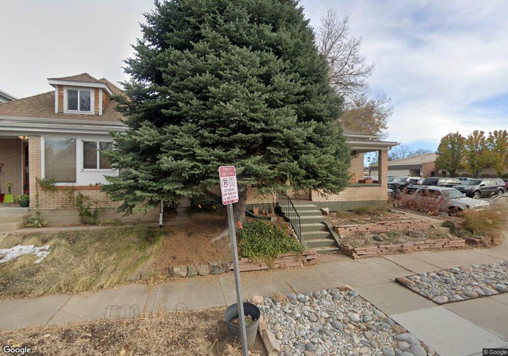
1216 S Grant St Denver, CO 80210
Platt Park NeighborhoodEstimated Value: $624,000 - $771,603
2
Beds
1
Bath
960
Sq Ft
$720/Sq Ft
Est. Value
About This Home
This home is located at 1216 S Grant St, Denver, CO 80210 and is currently estimated at $691,401, approximately $720 per square foot. 1216 S Grant St is a home located in Denver County with nearby schools including McKinley-Thatcher Elementary School, Grant Beacon Middle School, and South High School.
Ownership History
Date
Name
Owned For
Owner Type
Purchase Details
Closed on
Mar 30, 2001
Sold by
Donaldson Jennifer L
Bought by
Mitchell Jean
Current Estimated Value
Home Financials for this Owner
Home Financials are based on the most recent Mortgage that was taken out on this home.
Original Mortgage
$216,000
Outstanding Balance
$80,278
Interest Rate
7.13%
Estimated Equity
$611,123
Create a Home Valuation Report for This Property
The Home Valuation Report is an in-depth analysis detailing your home's value as well as a comparison with similar homes in the area
Home Values in the Area
Average Home Value in this Area
Purchase History
| Date | Buyer | Sale Price | Title Company |
|---|---|---|---|
| Mitchell Jean | $270,000 | -- |
Source: Public Records
Mortgage History
| Date | Status | Borrower | Loan Amount |
|---|---|---|---|
| Open | Mitchell Jean | $216,000 |
Source: Public Records
Tax History Compared to Growth
Tax History
| Year | Tax Paid | Tax Assessment Tax Assessment Total Assessment is a certain percentage of the fair market value that is determined by local assessors to be the total taxable value of land and additions on the property. | Land | Improvement |
|---|---|---|---|---|
| 2024 | $3,908 | $49,340 | $29,010 | $20,330 |
| 2023 | $3,823 | $49,340 | $29,010 | $20,330 |
| 2022 | $3,449 | $43,370 | $27,130 | $16,240 |
| 2021 | $3,329 | $44,610 | $27,910 | $16,700 |
| 2020 | $3,033 | $40,880 | $22,330 | $18,550 |
| 2019 | $2,948 | $40,880 | $22,330 | $18,550 |
| 2018 | $2,478 | $32,030 | $18,970 | $13,060 |
| 2017 | $2,471 | $32,030 | $18,970 | $13,060 |
| 2016 | $2,294 | $28,130 | $13,206 | $14,924 |
| 2015 | $2,198 | $28,130 | $13,206 | $14,924 |
| 2014 | $1,843 | $22,190 | $9,202 | $12,988 |
Source: Public Records
Map
Nearby Homes
- 1209 S Pennsylvania St
- 1355 S Pennsylvania St
- 1056 S Pennsylvania St
- 1001 S Pennsylvania St Unit 1005
- 1313 S Clarkson St Unit 305
- 1313 S Clarkson St Unit 405
- 1313 S Clarkson St Unit 202
- 969 S Pearl St Unit 204
- 1518 S Sherman St
- 1260 S Emerson St
- 1144 S Cherokee St
- 1127 S Ogden St
- 1023 S Emerson St
- 838 S Sherman St
- 1626 S Sherman St
- 130 E Ohio Ave Unit 140
- 1050 S Corona St
- 1650 S Pennsylvania St
- 794 S Pearl St
- 2121 S Galapago St
- 1212 S Grant St
- 1208 S Grant St
- 1200 S Grant St
- 1200 S Grant St
- 1217 S Grant St
- 1219 S Grant St
- 1211 S Grant St
- 1207 S Grant St
- 1229 S Grant St
- 1221 S Logan St
- 1219 S Logan St
- 1211 S Logan St
- 1201 S Grant St
- 1201 S Logan St
- 1201 S Logan St
- 1196 S Grant St
- 1184 S Grant St
- 1195 S Grant St
- 1193 S Logan St
- 1187 S Grant St