1216 Tangle Ln High Point, NC 27265
Hickswood NeighborhoodEstimated Value: $526,000 - $888,000
3
Beds
3
Baths
3,642
Sq Ft
$208/Sq Ft
Est. Value
About This Home
This home is located at 1216 Tangle Ln, High Point, NC 27265 and is currently estimated at $756,244, approximately $207 per square foot. 1216 Tangle Ln is a home located in Guilford County with nearby schools including Florence Elementary School, Welborn Academy of Science & Technology, and T.W. Andrews High School.
Ownership History
Date
Name
Owned For
Owner Type
Purchase Details
Closed on
Apr 11, 2008
Sold by
Taylor G Donnell and Taylor Angela H
Bought by
Sandman Michael J and Sandman Dawn E
Current Estimated Value
Home Financials for this Owner
Home Financials are based on the most recent Mortgage that was taken out on this home.
Original Mortgage
$372,000
Interest Rate
6.22%
Mortgage Type
Purchase Money Mortgage
Create a Home Valuation Report for This Property
The Home Valuation Report is an in-depth analysis detailing your home's value as well as a comparison with similar homes in the area
Home Values in the Area
Average Home Value in this Area
Purchase History
| Date | Buyer | Sale Price | Title Company |
|---|---|---|---|
| Sandman Michael J | $465,000 | None Available |
Source: Public Records
Mortgage History
| Date | Status | Borrower | Loan Amount |
|---|---|---|---|
| Closed | Sandman Michael J | $372,000 |
Source: Public Records
Tax History
| Year | Tax Paid | Tax Assessment Tax Assessment Total Assessment is a certain percentage of the fair market value that is determined by local assessors to be the total taxable value of land and additions on the property. | Land | Improvement |
|---|---|---|---|---|
| 2025 | $7,251 | $526,200 | $140,300 | $385,900 |
| 2024 | $7,251 | $526,200 | $140,300 | $385,900 |
| 2023 | $7,251 | $526,200 | $140,300 | $385,900 |
| 2022 | $7,093 | $526,200 | $140,300 | $385,900 |
| 2021 | $6,787 | $492,500 | $140,300 | $352,200 |
| 2020 | $6,787 | $492,500 | $140,300 | $352,200 |
| 2019 | $6,787 | $492,500 | $0 | $0 |
| 2018 | $6,753 | $492,500 | $0 | $0 |
| 2017 | $6,753 | $492,500 | $0 | $0 |
| 2016 | $6,353 | $453,000 | $0 | $0 |
| 2015 | $6,387 | $453,000 | $0 | $0 |
| 2014 | $6,496 | $453,000 | $0 | $0 |
Source: Public Records
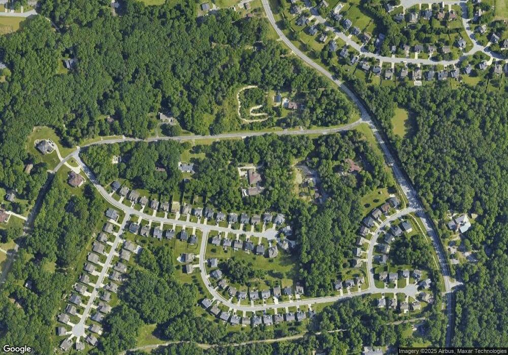
Map
Nearby Homes
- 1217 Lakeview Heights Dr
- 2606 Wexford Place
- 2674 Splitbrooke Dr
- 2706 Edenridge Dr
- 2700 Edenridge Dr
- 2922 Hearthstone Point Dr
- 113 Red Plum Ln
- 423 Dogwood Cir
- 3920 Cloverwood Meadow Ln
- 3946 Cobblestone Bend Dr
- 3973 Cobblestone Bend Dr
- 3650 Sunset Hollow Dr
- 3630 Sunset Hollow Dr
- 1227 Greensboro Rd
- 3534 Running Cedar Trail
- 1650 Penny Rd
- 3871 Eagleston Ct
- 3464 Basalt Ct
- 2511 Copperleaf Ct
- 111 Forestdale Dr
- 3945 Stafford Run Ct
- 3949 Stafford Run Ct
- 3953 Stafford Run Ct
- 3957 Stafford Run Ct
- 3937 Stafford Run Ct
- 3933 Stafford Run Ct
- 3927 Stafford Run Ct
- 3961 Stafford Run Ct
- 1212 Tangle Ln
- 3923 Stafford Run Ct
- 1215 Tangle Ln
- 1217 Tangle Ln
- 3944 Stafford Run Ct
- 3948 Stafford Run Ct
- 3940 Stafford Run Ct
- 3952 Stafford Run Ct
- 3960 Stafford Run Ct
- 3936 Stafford Run Ct
- 1219 Tangle Ln
- 3956 Stafford Run Ct
Your Personal Tour Guide
Ask me questions while you tour the home.