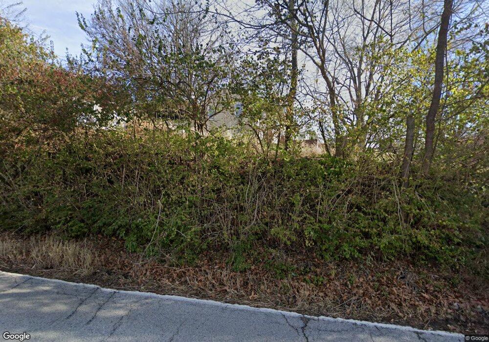
1216 Wilson Ave Chesterfield, MO 63005
Estimated Value: $330,000 - $583,000
3
Beds
2
Baths
1,176
Sq Ft
$367/Sq Ft
Est. Value
About This Home
This home is located at 1216 Wilson Ave, Chesterfield, MO 63005 and is currently estimated at $431,991, approximately $367 per square foot. 1216 Wilson Ave is a home located in St. Louis County with nearby schools including Wild Horse Elementary, Crestview Middle School, and Marquette Sr. High School.
Ownership History
Date
Name
Owned For
Owner Type
Purchase Details
Closed on
Nov 7, 2024
Sold by
Lauren Strutman Trust
Bought by
City Of Chesterfield Missouri
Current Estimated Value
Purchase Details
Closed on
Sep 21, 2021
Sold by
Strutman Lauren and Strutman Richard C
Bought by
Strutman Lauren and The Lauren Strutman Trust
Purchase Details
Closed on
Jul 15, 2019
Sold by
The Loal S Strutman Trust
Bought by
Strutman Lauren
Purchase Details
Closed on
Jun 2, 1997
Sold by
Ploch Henry W and Ploch Gertrude L
Bought by
Strutman Lola S and The Lola S Strutman Trust
Create a Home Valuation Report for This Property
The Home Valuation Report is an in-depth analysis detailing your home's value as well as a comparison with similar homes in the area
Home Values in the Area
Average Home Value in this Area
Purchase History
| Date | Buyer | Sale Price | Title Company |
|---|---|---|---|
| City Of Chesterfield Missouri | -- | None Listed On Document | |
| Strutman Lauren | -- | None Available | |
| Strutman Lauren | $160,000 | Investors Title Co Clayton | |
| Strutman Lola S | -- | -- |
Source: Public Records
Tax History Compared to Growth
Tax History
| Year | Tax Paid | Tax Assessment Tax Assessment Total Assessment is a certain percentage of the fair market value that is determined by local assessors to be the total taxable value of land and additions on the property. | Land | Improvement |
|---|---|---|---|---|
| 2025 | $3,769 | $76,320 | $55,970 | $20,350 |
| 2024 | $3,769 | $52,720 | $33,610 | $19,110 |
| 2023 | $3,769 | $52,720 | $33,610 | $19,110 |
| 2022 | $2,340 | $31,110 | $31,070 | $40 |
| 2021 | $2,327 | $31,110 | $31,070 | $40 |
| 2020 | $2,409 | $31,110 | $23,790 | $7,320 |
| 2019 | $2,396 | $31,110 | $23,790 | $7,320 |
| 2018 | $2,951 | $36,220 | $23,790 | $12,430 |
| 2017 | $2,885 | $36,220 | $23,790 | $12,430 |
| 2016 | $2,063 | $24,780 | $23,790 | $990 |
| 2015 | $2,020 | $24,780 | $23,790 | $990 |
| 2014 | $1,823 | $21,740 | $7,110 | $14,630 |
Source: Public Records
Map
Nearby Homes
- 1255 Walnut Hill Farm Dr
- 375 Griffith Ln
- 16766 Benton Taylor Dr
- 16750 Benton Taylor Dr
- 16757 Benton Taylor Dr
- 831 Stone Meadow Dr
- 735 Stonebluff Ct
- 351 Oak Stand Ct
- 1205 Patchwork Fields
- 153 Vonbehren Dr
- Clifton Plan at Wildhorse Village - Midtown Collection
- 1 Monarch Trace Ct Unit 302
- 16446 Dapple Gray Ct
- 16590 Honey Locust Dr Unit 15-302
- 16588 Honey Locust Dr Unit 15-303
- 16473 Burkhardt Place
- 16534 Yellow Wood Dr Unit 48-302
- 16532 Yellow Wood Dr Unit 48-303
- 314 Indigo Ct Unit 37-302
- 312 Indigo Ct
- 16823 Ashberry Circle Dr
- 1224 Wilson Ave
- 16819 Ashberry Circle Dr
- 16815 Ashberry Circle Dr
- 16831 Ashberry Circle Dr
- 16820 Ashberry Circle Dr
- 16828 Ashberry Circle Dr
- 16822 Wild Horse Creek Rd
- 16818 Ashberry Circle Dr
- 16832 Ashberry Circle Dr
- 16811 Ashberry Circle Dr
- 16835 Ashberry Circle Dr
- 16836 Ashberry Circle Dr
- 16808 Ashberry Circle Dr
- 16839 Ashberry Circle Dr
- 16901 Todd Evan Trail Rd
- 16807 Ashberry Circle Dr
- 16844 Ashberry Circle Dr
- 16843 Ashberry Circle Dr
- 301 Woodcliffe Place Dr
