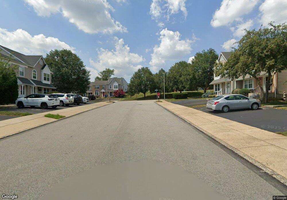
1216 Windmill Cir Norristown, PA 19403
West Norriton Township NeighborhoodEstimated Value: $327,000 - $376,000
2
Beds
2
Baths
2,232
Sq Ft
$155/Sq Ft
Est. Value
About This Home
This home is located at 1216 Windmill Cir, Norristown, PA 19403 and is currently estimated at $344,994, approximately $154 per square foot. 1216 Windmill Cir is a home located in Montgomery County with nearby schools including Paul V Fly Elementary School, Charles Blockson Middle School, and East Norriton Middle School.
Ownership History
Date
Name
Owned For
Owner Type
Purchase Details
Closed on
Jul 29, 2002
Sold by
Harper Barbara R and Harper Gary G
Bought by
Rush Benjamin
Current Estimated Value
Purchase Details
Closed on
Jul 2, 1999
Sold by
Federal Home Loan Mortgage Corporation
Bought by
Harper Gary G and Harper Barbara R
Purchase Details
Closed on
Aug 11, 1998
Sold by
The Chase Manhattan Bank
Bought by
Federal Home Loan Mortgage Corporation
Create a Home Valuation Report for This Property
The Home Valuation Report is an in-depth analysis detailing your home's value as well as a comparison with similar homes in the area
Home Values in the Area
Average Home Value in this Area
Purchase History
| Date | Buyer | Sale Price | Title Company |
|---|---|---|---|
| Rush Benjamin | $150,000 | -- | |
| Harper Gary G | $82,000 | -- | |
| Federal Home Loan Mortgage Corporation | $20,000 | -- |
Source: Public Records
Tax History Compared to Growth
Tax History
| Year | Tax Paid | Tax Assessment Tax Assessment Total Assessment is a certain percentage of the fair market value that is determined by local assessors to be the total taxable value of land and additions on the property. | Land | Improvement |
|---|---|---|---|---|
| 2025 | $5,767 | $118,060 | -- | -- |
| 2024 | $5,767 | $118,060 | -- | -- |
| 2023 | $5,702 | $118,060 | $0 | $0 |
| 2022 | $5,666 | $118,060 | $0 | $0 |
| 2021 | $4,928 | $103,310 | $18,880 | $84,430 |
| 2020 | $4,781 | $103,310 | $18,880 | $84,430 |
| 2019 | $4,674 | $103,310 | $18,880 | $84,430 |
| 2018 | $3,814 | $103,310 | $18,880 | $84,430 |
| 2017 | $4,413 | $103,310 | $18,880 | $84,430 |
| 2016 | $4,372 | $103,310 | $18,880 | $84,430 |
| 2015 | $4,051 | $103,310 | $18,880 | $84,430 |
| 2014 | $4,051 | $103,310 | $18,880 | $84,430 |
Source: Public Records
Map
Nearby Homes
- 1613 Countryside Ln
- 2025 Sterigere St
- 2515 Fieldcrest Ave
- 1104 Arden Dr Unit METHACTON SCHOOL
- 805 Stonybrook Dr
- 550 Burnside Ave
- 501 Stonybrook Dr
- 2939 W Germantown Pike
- 0 Windy Hill Rd Unit METHACTON SD
- 1219 Stonybrook Dr Unit 1219
- 801 N Park Ave
- 37 Burnside Ave
- 511 Faith Dr
- 805 Sandra Ln
- 906 N Trooper Rd
- 515 Faith Dr
- 709 Middleton Place
- 166 Hoover Ave
- 1103 Arden Dr Unit METHACTON SCHOOL
- 520 Deerfield Dr
- 1214 Windmill Cir
- 1218 Windmill Cir
- 1220 Windmill Cir
- 1212 Windmill Cir
- 1222 Windmill Cir
- 1210 Windmill Cir
- 1208 Windmill Cir
- 1224 Windmill Cir
- 1334 Statesman Rd
- 1336 Statesman Rd
- 1206 Windmill Cir
- 1330 Statesman Rd
- 1328 Statesman Rd
- 1204 Windmill Cir
- 1326 Statesman Rd
- 1202 Windmill Cir
- 1215 Windmill Cir
- 1217 Windmill Cir
- 1213 Windmill Cir
- 1211 Windmill Cir