Estimated Value: $1,027,000 - $1,357,000
7
Beds
5
Baths
4,752
Sq Ft
$248/Sq Ft
Est. Value
About This Home
This home is located at 12160 N 2000 E, Cove, UT 84320 and is currently estimated at $1,176,890, approximately $247 per square foot. 12160 N 2000 E is a home located in Cache County with nearby schools including Lewiston School, White Pine Middle School, and North Cache Middle School.
Ownership History
Date
Name
Owned For
Owner Type
Purchase Details
Closed on
Jan 21, 2022
Sold by
Quinton Jessica Tams and Quinton Carl David
Bought by
Tams Jessica
Current Estimated Value
Purchase Details
Closed on
Nov 29, 2018
Sold by
Quinton Jessica Tams
Bought by
Quinton Jessica Tams and Quinton Carl David
Purchase Details
Closed on
Apr 7, 2016
Sold by
Beeny Claudia Ann Livingston
Bought by
Quinton Jessica Tams
Purchase Details
Closed on
Jan 3, 2012
Sold by
Beeny Michael R and Beeny Claudia A
Bought by
Beeny Michael R and Beeny Claudia Ann Livingston
Purchase Details
Closed on
Jan 12, 2007
Sold by
Singer John E and Singer James H
Bought by
H & M Real Properties Llc
Purchase Details
Closed on
Oct 4, 2001
Sold by
Singer Harald E
Bought by
Singer Mildred
Create a Home Valuation Report for This Property
The Home Valuation Report is an in-depth analysis detailing your home's value as well as a comparison with similar homes in the area
Purchase History
| Date | Buyer | Sale Price | Title Company |
|---|---|---|---|
| Tams Jessica | -- | Hickman Land Title | |
| Quinton Jessica Tams | -- | Hickman Land Title Company | |
| Quinton Jessica Tams | -- | American Secure Title Logan | |
| Beeny Michael R | -- | None Available | |
| H & M Real Properties Llc | -- | Accommodation | |
| Singer Mildred | -- | Hickman Land Title Company |
Source: Public Records
Tax History
| Year | Tax Paid | Tax Assessment Tax Assessment Total Assessment is a certain percentage of the fair market value that is determined by local assessors to be the total taxable value of land and additions on the property. | Land | Improvement |
|---|---|---|---|---|
| 2025 | $2,944 | $471,245 | $0 | $0 |
| 2023 | $3,408 | $472,010 | $0 | $0 |
| 2022 | $3,566 | $472,020 | $0 | $0 |
| 2021 | $3,552 | $794,595 | $218,000 | $576,595 |
| 2020 | $3,001 | $576,214 | $88,300 | $487,914 |
| 2019 | $3,174 | $576,213 | $88,300 | $487,913 |
| 2018 | $2,936 | $517,490 | $88,300 | $429,190 |
| 2017 | $2,672 | $248,135 | $0 | $0 |
| 2016 | $2,704 | $248,120 | $0 | $0 |
| 2015 | $1,775 | $165,340 | $0 | $0 |
| 2014 | $1,722 | $165,425 | $0 | $0 |
| 2013 | -- | $165,540 | $0 | $0 |
Source: Public Records
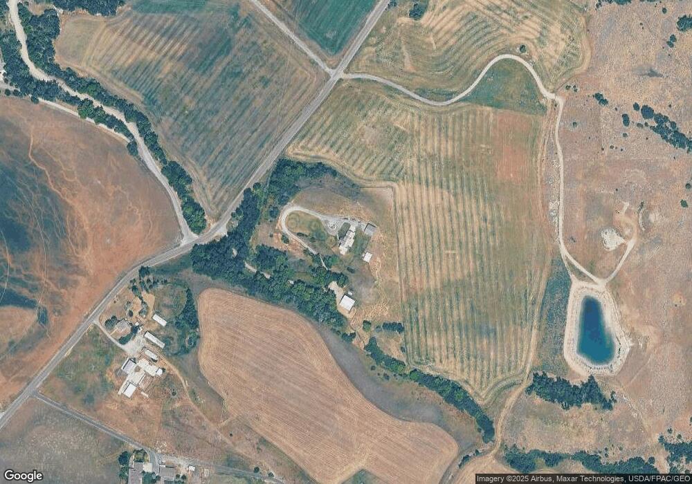
Map
Nearby Homes
- 2307 Maple Leaf Dr
- 13485 N 2200 E
- 684 N Cherry Creek Pkwy E
- 684 N Cherry Creek Pkwy E Unit 26
- 673 Cherry Creek Pkwy Unit 24
- 1009 E High Creek Rd
- 299 Chokecherry Cir
- 349 Sunburst Ln
- 663 Cherry Ridge Ln Unit 48
- 675 Cherry Ridge Ln Unit 46
- 664 Cherry Ridge Ln Unit 40
- 681 Cherry Ridge Ln Unit 45
- 636 Cherry Ridge Ln Unit 36
- 669 Cherry Ridge Ln Unit 47
- 658 Cherry Ridge Ln Unit 39
- 646 Cherry Ridge Ln Unit 37
- 687 Cherry Ridge Ln Unit 44
- 680 Cherry Creek Pkwy Unit 7
- 697 Cherry Creek Pkwy Unit 14
- 652 Cherry Ridge Ln Unit 38
- 12110 N 2000 E
- 2307 Maple Leaf Dr Unit 5
- 2050 Maple Leaf Dr
- 2050 Maple Leaf Dr Unit 3
- 12340 N 2400 E
- 12303 N 2000 E
- 12235 N 2000 E
- 12020 N 2000 E
- 12043 N 2000 E
- 12421 N 2400 E
- 11953 N 2000 E
- 1980 E High Creek Rd
- 12432 N 2400 E
- 12430 N 2400 E
- 1952 E High Creek Rd
- 11910 N 2000 E
- 11835 N 2000 E
- 11823 N 2000 E
- 2103 E 11750 N Unit 2
- 2106 E 11750 N Unit 3
Your Personal Tour Guide
Ask me questions while you tour the home.