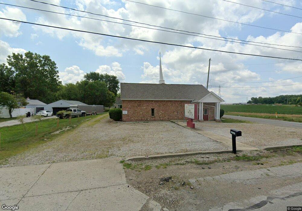
12161 Broad St SW Pataskala, OH 43062
--
Bed
--
Bath
6,000
Sq Ft
1.13
Acres
About This Home
This home is located at 12161 Broad St SW, Pataskala, OH 43062. 12161 Broad St SW is a home located in Licking County with nearby schools including North Elementary School, Licking Heights Central, and Licking Heights High School.
Ownership History
Date
Name
Owned For
Owner Type
Purchase Details
Closed on
Jul 16, 2004
Sold by
Apostolic Unity Church Inc
Bought by
First 7Th Day Baptist Church Of Columbus
Home Financials for this Owner
Home Financials are based on the most recent Mortgage that was taken out on this home.
Original Mortgage
$175,000
Outstanding Balance
$88,284
Interest Rate
6.37%
Mortgage Type
Commercial
Create a Home Valuation Report for This Property
The Home Valuation Report is an in-depth analysis detailing your home's value as well as a comparison with similar homes in the area
Home Values in the Area
Average Home Value in this Area
Purchase History
| Date | Buyer | Sale Price | Title Company |
|---|---|---|---|
| First 7Th Day Baptist Church Of Columbus | $300,000 | -- |
Source: Public Records
Mortgage History
| Date | Status | Borrower | Loan Amount |
|---|---|---|---|
| Open | First 7Th Day Baptist Church Of Columbus | $175,000 |
Source: Public Records
Tax History Compared to Growth
Tax History
| Year | Tax Paid | Tax Assessment Tax Assessment Total Assessment is a certain percentage of the fair market value that is determined by local assessors to be the total taxable value of land and additions on the property. | Land | Improvement |
|---|---|---|---|---|
| 2024 | -- | $145,080 | $44,490 | $100,590 |
| 2023 | -- | $145,080 | $44,490 | $100,590 |
| 2022 | $0 | $108,510 | $41,550 | $66,960 |
| 2021 | $0 | $108,510 | $41,550 | $66,960 |
| 2020 | $350 | $108,510 | $41,550 | $66,960 |
| 2019 | $912 | $108,510 | $41,550 | $66,960 |
| 2018 | $912 | $0 | $0 | $0 |
| 2017 | $912 | $0 | $0 | $0 |
| 2016 | $912 | $0 | $0 | $0 |
| 2015 | $912 | $0 | $0 | $0 |
| 2014 | $456 | $0 | $0 | $0 |
| 2013 | $456 | $0 | $0 | $0 |
Source: Public Records
Map
Nearby Homes
- 23 1st St SW
- 7376 Mink St SW
- 55 1st St SW
- 11034 Broad St SW
- 0 Mink St SW
- 0 Mink St SW Unit 13 225006231
- 220 Woodland Sky Dr
- 209 Rona Blvd
- 211 Rona Blvd
- 507 Curry Dr
- 131 Broadmoore Blvd
- 413 Halton Dr
- 5181 Mink St SW
- 426 Waterlily Ln
- 13771 Cleveland Rd SW
- 13770 Cleveland Rd SW
- 0 Refugee Rd SW Unit 223007833
- 405 Waterlily Ln
- 208 Scotsgrove Dr
- 372 Isaac Tharp St
- 12157 Broad St SW
- 12157 Broad St SW
- 12284 Mill Street Rd
- 12284 Mill Rd
- 12284 Mill Street Ave
- 12266 Mill Street Rd
- 12266 Mill Street Ave
- 330 Connors Ave
- 100 Connors Ave
- 0 Connors Ave
- 331 Connors Ave
- 12240 Mill Street Rd
- 12240 Mill Street Ave
- 12144 Broad St SW
- 12148 Broad St SW
- 16 W Broad St
- 12232 Mill Street Ave
- 6003 Etna Pkwy
- 12100 Adams Ln SW
- 12145 Broad St SW