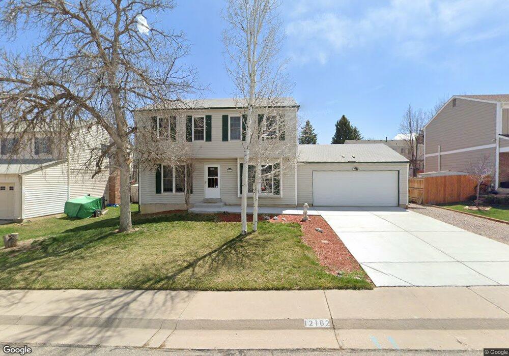
12162 W Layton Ave Morrison, CO 80465
Friendly Hills NeighborhoodEstimated Value: $570,762 - $622,000
3
Beds
5
Baths
1,740
Sq Ft
$340/Sq Ft
Est. Value
About This Home
This home is located at 12162 W Layton Ave, Morrison, CO 80465 and is currently estimated at $590,941, approximately $339 per square foot. 12162 W Layton Ave is a home located in Jefferson County with nearby schools including Kendallvue Elementary School, Carmody Middle School, and Bear Creek High School.
Ownership History
Date
Name
Owned For
Owner Type
Purchase Details
Closed on
Apr 26, 1994
Sold by
Deutsch Michael D and Deutsch Robin Ridgway
Bought by
Jones Dale Eugene
Current Estimated Value
Home Financials for this Owner
Home Financials are based on the most recent Mortgage that was taken out on this home.
Original Mortgage
$108,300
Interest Rate
7.71%
Create a Home Valuation Report for This Property
The Home Valuation Report is an in-depth analysis detailing your home's value as well as a comparison with similar homes in the area
Home Values in the Area
Average Home Value in this Area
Purchase History
| Date | Buyer | Sale Price | Title Company |
|---|---|---|---|
| Jones Dale Eugene | $114,000 | -- |
Source: Public Records
Mortgage History
| Date | Status | Borrower | Loan Amount |
|---|---|---|---|
| Closed | Jones Dale Eugene | $108,300 |
Source: Public Records
Tax History Compared to Growth
Tax History
| Year | Tax Paid | Tax Assessment Tax Assessment Total Assessment is a certain percentage of the fair market value that is determined by local assessors to be the total taxable value of land and additions on the property. | Land | Improvement |
|---|---|---|---|---|
| 2024 | $2,490 | $32,124 | $9,628 | $22,496 |
| 2023 | $2,490 | $32,124 | $9,628 | $22,496 |
| 2022 | $2,850 | $28,567 | $7,980 | $20,587 |
| 2021 | $2,886 | $29,388 | $8,209 | $21,179 |
| 2020 | $2,521 | $25,729 | $6,362 | $19,367 |
| 2019 | $2,490 | $25,729 | $6,362 | $19,367 |
| 2018 | $2,291 | $22,866 | $6,360 | $16,506 |
| 2017 | $2,091 | $22,866 | $6,360 | $16,506 |
| 2016 | $1,851 | $19,530 | $4,955 | $14,575 |
| 2015 | $1,627 | $19,530 | $4,955 | $14,575 |
| 2014 | $1,627 | $16,096 | $4,594 | $11,502 |
Source: Public Records
Map
Nearby Homes
- 12083 W Saratoga Ave
- 4845 S Taft St
- 12234 W Saratoga Ave
- 12089 W Chenango Dr
- 4726 S Taft St
- 12424 W Saratoga Ave
- 4977 S Urban Ct
- 4688 S Swadley Way
- 11898 W Tufts Place
- 12452 W Dumbarton Place
- 11836 W Tulane Dr
- 12593 W Grand Dr
- 11891 W Stanford Place
- 11470 W Tanforan Cir
- 11200 W Tanforan Cir
- 5046 S Robb St
- 4816 S Zang Way
- 4704 S Routt St
- 4570 S Swadley Ct
- 13018 W Marlowe Ave
- 12132 W Layton Ave
- 12103 W Saratoga Ave
- 12053 W Saratoga Ave
- 12212 W Layton Ave
- 4829 S Union Ct
- 12161 W Layton Ave
- 12181 W Layton Ave
- 12123 W Saratoga Ave
- 4819 S Union Ct
- 12131 W Layton Ave
- 12211 W Layton Ave
- 12232 W Layton Ave
- 12091 W Layton Ave
- 12143 W Saratoga Ave
- 12231 W Layton Ave
- 12084 W Saratoga Ave
- 12160 W Tanforan Ave
- 12170 W Tanforan Ave
- 12104 W Saratoga Ave
- 12054 W Saratoga Ave