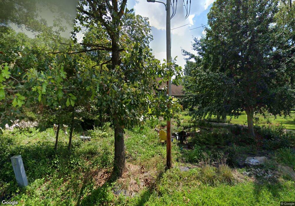
12164 Pease Rd Marion, IL 62959
Estimated Value: $264,000 - $286,000
--
Bed
--
Bath
2,288
Sq Ft
$120/Sq Ft
Est. Value
About This Home
This home is located at 12164 Pease Rd, Marion, IL 62959 and is currently estimated at $275,161, approximately $120 per square foot. 12164 Pease Rd is a home located in Williamson County with nearby schools including Lincoln Elementary School, Marion Junior High School, and Marion High School.
Ownership History
Date
Name
Owned For
Owner Type
Purchase Details
Closed on
Jan 19, 2024
Sold by
Mays Bobby K and Mays Kristy L
Bought by
Mcnicholas Joan C and Maroney Michael P
Current Estimated Value
Home Financials for this Owner
Home Financials are based on the most recent Mortgage that was taken out on this home.
Original Mortgage
$196,000
Outstanding Balance
$192,729
Interest Rate
7.2%
Mortgage Type
New Conventional
Estimated Equity
$82,432
Create a Home Valuation Report for This Property
The Home Valuation Report is an in-depth analysis detailing your home's value as well as a comparison with similar homes in the area
Home Values in the Area
Average Home Value in this Area
Purchase History
| Date | Buyer | Sale Price | Title Company |
|---|---|---|---|
| Mcnicholas Joan C | $245,000 | None Listed On Document | |
| Mcnicholas Joan C | $245,000 | None Listed On Document |
Source: Public Records
Mortgage History
| Date | Status | Borrower | Loan Amount |
|---|---|---|---|
| Open | Mcnicholas Joan C | $196,000 | |
| Closed | Mcnicholas Joan C | $196,000 |
Source: Public Records
Tax History Compared to Growth
Tax History
| Year | Tax Paid | Tax Assessment Tax Assessment Total Assessment is a certain percentage of the fair market value that is determined by local assessors to be the total taxable value of land and additions on the property. | Land | Improvement |
|---|---|---|---|---|
| 2025 | $3,775 | $70,780 | $5,900 | $64,880 |
| 2024 | $3,775 | $70,780 | $5,900 | $64,880 |
| 2023 | $3,775 | $54,310 | $5,200 | $49,110 |
| 2022 | $3,592 | $57,160 | $5,470 | $51,690 |
| 2021 | $3,497 | $55,090 | $5,270 | $49,820 |
| 2020 | $3,497 | $52,050 | $4,980 | $47,070 |
| 2019 | $3,274 | $52,050 | $4,980 | $47,070 |
| 2018 | $3,274 | $52,050 | $4,980 | $47,070 |
| 2017 | $2,427 | $40,820 | $4,980 | $35,840 |
| 2015 | $2,372 | $38,670 | $4,720 | $33,950 |
| 2013 | $1,757 | $38,670 | $4,720 | $33,950 |
| 2012 | $1,757 | $38,670 | $4,720 | $33,950 |
Source: Public Records
Map
Nearby Homes
- 11149 Crenshaw Rd
- 11115 Lamaster Rd
- 12171 Blue Sky Dr
- 12195 Blue Sky Dr
- 1408 W Longstreet Rd
- TBD Kokopelli Dr
- 0000 Kokopelli Dr
- 300 Longstreet Rd
- 0000 Bloomington St
- 13206 Reed Cemetery Rd
- 204 Bracey St
- 1535 Maureen Dr
- 10828 Ferges Rd
- 2103 The Hill Ave
- 1700 Morgan Ave
- 2011 Morgan Ave
- 1711 Morgan Ave
- 107 Scott St
- 109 Brase St
- 1208 Morgan Ave
- 12164 Pease Rd
- 11323 Sunderland Rd
- 12126 Pease Rd
- 11391 Sunderland Rd
- 11425 Sunderland Rd
- 0 Sunderland Rd
- 11356 Sunderland Rd
- 12238 Pease Rd
- 12090 Pease Rd
- 11336 Sunderland Rd
- 11150 Sunderland Rd
- 11457 Sunderland Rd
- 12274 Pease Rd
- 11470 Sunderland Rd
- 11460 Jacquelyn R
- 11460 Jacqueline Rd
- 11483 Jacqueline Rd
- 12281 Pease Rd
- 11489 Sunderland Rd
- 11472 Jacqueline Rd
