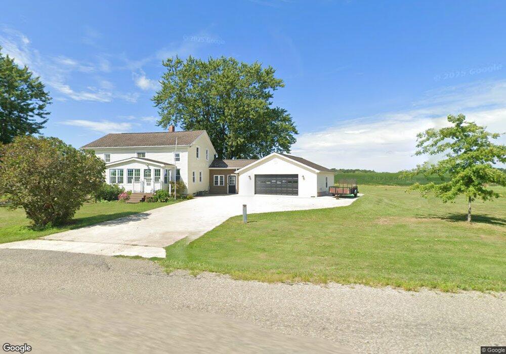
12168 Sharp Rd Waterford, PA 16441
Estimated Value: $260,304 - $463,000
4
Beds
2
Baths
2,208
Sq Ft
$148/Sq Ft
Est. Value
About This Home
This home is located at 12168 Sharp Rd, Waterford, PA 16441 and is currently estimated at $327,076, approximately $148 per square foot. 12168 Sharp Rd is a home located in Erie County with nearby schools including Fort Leboeuf Middle School and Fort Leboeuf Senior High School.
Ownership History
Date
Name
Owned For
Owner Type
Purchase Details
Closed on
Apr 22, 2009
Sold by
Rutkowski Lucile C
Bought by
Rutkowski Stephanie L
Current Estimated Value
Purchase Details
Closed on
Jan 25, 2007
Sold by
Ruthkowski Lucile C and Rutkowski Stephanie L
Bought by
Ruthkowski Lucile C and Ruthkowski Stephanie L
Home Financials for this Owner
Home Financials are based on the most recent Mortgage that was taken out on this home.
Original Mortgage
$75,000
Interest Rate
6.15%
Mortgage Type
Purchase Money Mortgage
Create a Home Valuation Report for This Property
The Home Valuation Report is an in-depth analysis detailing your home's value as well as a comparison with similar homes in the area
Home Values in the Area
Average Home Value in this Area
Purchase History
| Date | Buyer | Sale Price | Title Company |
|---|---|---|---|
| Rutkowski Stephanie L | -- | None Available | |
| Rutkowski Stephanie L | -- | None Available | |
| Ruthkowski Lucile C | -- | None Available |
Source: Public Records
Mortgage History
| Date | Status | Borrower | Loan Amount |
|---|---|---|---|
| Closed | Ruthkowski Lucile C | $75,000 |
Source: Public Records
Tax History Compared to Growth
Tax History
| Year | Tax Paid | Tax Assessment Tax Assessment Total Assessment is a certain percentage of the fair market value that is determined by local assessors to be the total taxable value of land and additions on the property. | Land | Improvement |
|---|---|---|---|---|
| 2025 | $2,413 | $105,700 | $1,600 | $104,100 |
| 2024 | $2,319 | $105,700 | $1,600 | $104,100 |
| 2023 | $2,250 | $105,700 | $1,600 | $104,100 |
| 2022 | $2,194 | $105,700 | $1,600 | $104,100 |
| 2021 | $2,146 | $138,000 | $33,900 | $104,100 |
| 2020 | $2,073 | $135,680 | $33,900 | $101,780 |
| 2019 | $2,073 | $135,680 | $33,900 | $101,780 |
| 2018 | $2,042 | $135,680 | $33,900 | $101,780 |
| 2017 | $2,004 | $103,380 | $1,600 | $101,780 |
| 2016 | $2,274 | $103,380 | $1,600 | $101,780 |
| 2015 | $2,248 | $103,380 | $1,600 | $101,780 |
| 2014 | $1,225 | $103,380 | $1,600 | $101,780 |
Source: Public Records
Map
Nearby Homes
- 0 Sharp Rd Unit 185719
- Tbd 1 Plank Rd Unit LotWP001
- 3590 Draketown Rd
- Tbd Plank Rd
- TBD2 Plank Rd
- TBD 1 Plank Rd
- 0 Leacock Rd
- 3254 Route 6n
- 13672 Route 19
- 4919 Old State Rd
- 9351 Peach St
- 34 Lincoln Ave
- 11226 Route
- 134 Primrose Ln
- 13251 Kline Rd
- 819 Chestnut St
- 162 E 2nd St
- 0 E 3rd St
- 438 Circuit St
- 11682 Route 97 N Unit 159
- 12223 Sharp Rd
- 12298 Sharp Rd
- 1986 Old State Rd
- 1948 Old State Rd
- 11959 Sharp Rd
- 2308 Old State Rd
- 2455 Old State Rd
- 1777 Old State Rd
- 11889 Sharp Rd
- 1778 Old State Rd
- 16411 Martin Rd
- 11877 Sharp Rd
- 11992 Martin Rd
- 1821 Old State Rd
- 1708 Old State Rd
- 11821 Sharp Rd
- 2668 Old State Rd
- 1776 State Rd
- 11859 Martin Rd
- 2670 Old State Rd