Estimated Value: $253,000 - $317,945
About This Home
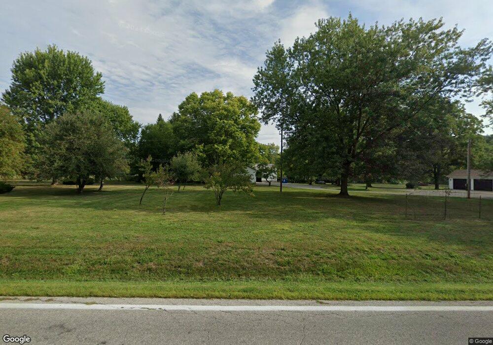
This home is located at 12169 State Route 34, Bryan, OH 43506 and is currently estimated at $282,986, approximately $123 per square foot. 12169 State Route 34 is a home located in Williams County with nearby schools including Bryan Elementary PK-5, Washington Elementary School, and Bryan Middle School/High School.
Ownership History
We collect this data history from publicly available records. To have your information removed, we recommend requesting removal directly through your county’s website.
Purchase Details
Home Financials for this Owner
Home Financials are based on the most recent Mortgage that was taken out on this home.Purchase Details
Home Financials for this Owner
Home Financials are based on the most recent Mortgage that was taken out on this home.Purchase Details
Purchase Details
Home Financials for this Owner
Home Financials are based on the most recent Mortgage that was taken out on this home.Purchase Details
Purchase Details
Purchase Details
Purchase History
We collect this data history from publicly available records. To have your information removed, we recommend requesting removal directly through your county’s website.
| Date | Buyer | Sale Price | Title Company |
|---|---|---|---|
| $230,000 | Newcomer Shaffer Spangler Brei | ||
| $184,000 | None Available | ||
| -- | None Available | ||
| $186,000 | None Available | ||
| $178,000 | -- | ||
| -- | -- | ||
| -- | -- |
Mortgage History
We collect this data history from publicly available records. To have your information removed, we recommend requesting removal directly through your county’s website.
| Date | Status | Borrower | Loan Amount |
|---|---|---|---|
| Open | $210,000 | ||
| Previous Owner | $184,000 | ||
| Previous Owner | $148,000 |
Tax History
We collect this data history from publicly available records. To have your information removed, we recommend requesting removal directly through your county’s website.
| Year | Tax Paid | Tax Assessment Tax Assessment Total Assessment is a certain percentage of the fair market value that is determined by local assessors to be the total taxable value of land and additions on the property. | Land | Improvement |
|---|---|---|---|---|
| 2025 | $3,851 | $85,510 | $20,970 | $64,540 |
| 2024 | $3,813 | $85,510 | $20,970 | $64,540 |
| 2023 | $3,851 | $66,360 | $16,380 | $49,980 |
| 2022 | $3,381 | $66,360 | $16,380 | $49,980 |
| 2021 | $2,882 | $66,360 | $16,380 | $49,980 |
| 2020 | $2,506 | $57,230 | $13,760 | $43,470 |
| 2019 | $2,490 | $57,230 | $13,760 | $43,470 |
| 2018 | $2,343 | $57,230 | $13,760 | $43,470 |
| 2017 | $2,304 | $53,970 | $12,460 | $41,510 |
| 2016 | $2,201 | $53,970 | $12,460 | $41,510 |
| 2015 | $2,298 | $53,970 | $12,460 | $41,510 |
| 2014 | $2,298 | $53,970 | $12,460 | $41,510 |
| 2013 | $2,307 | $53,970 | $12,460 | $41,510 |
Map
- 1319 Ohio Dr
- 110 Norlick Dr
- 418 Connin St
- 320 Newdale Dr
- 930 W High St
- 13673 County Rd E Unit 10
- 125 Turnberry Dr
- 903 Greystone Dr
- 1001 Greystone Dr
- 00 Troon Ct
- 202 Belfast Ln
- 0 Saint Andrews Dr
- 109 Oak Meadows Dr
- 314 Dublin Ln
- 324 Dublin Ln
- 322 Dublin Ln
- 12107 Williams County C
- 425 Oakwood Ave
- 330 W Butler St
- 421 Center St
- 12169 State Route 34
- 12169 Ohio 34
- 12156 State Route 34
- 12136 State Route 34
- 12116 State Route 34
- 106 Sam Anna Dr
- 103 Ford Rd
- 102 Ford Rd
- 205 Center Cir
- 105 Sam Anna Dr
- 12082 State Route 34
- 12082 St Rt 34
- 207 Center Cir
- 209 Center Cir
- 204 Center Cir
- 202 Center Cir
- 206 Center Cir
- 107 Sam Anna Dr
- 104 Ford Rd
- 208 Center Cir
Ask me questions while you tour the home.