1217 Big Dataw Point Saint Helena Island, SC 29920
Estimated Value: $940,000 - $1,291,000
8
Beds
8
Baths
5,080
Sq Ft
$219/Sq Ft
Est. Value
About This Home
This home is located at 1217 Big Dataw Point, Saint Helena Island, SC 29920 and is currently estimated at $1,112,311, approximately $218 per square foot. 1217 Big Dataw Point is a home with nearby schools including St. Helena Elementary School, Lady's Island Middle School, and Beaufort High School.
Ownership History
Date
Name
Owned For
Owner Type
Purchase Details
Closed on
Feb 20, 2018
Sold by
Wilhelm Richard A and Wilhelm Theresa T
Bought by
Sevigny Lionel F and Sevigny Judy
Current Estimated Value
Purchase Details
Closed on
Mar 5, 2004
Sold by
Shellenberger Sylvia A
Bought by
Wilhelm Richard A and Wilhelm Theresa T
Home Financials for this Owner
Home Financials are based on the most recent Mortgage that was taken out on this home.
Original Mortgage
$128,250
Interest Rate
4%
Mortgage Type
Unknown
Create a Home Valuation Report for This Property
The Home Valuation Report is an in-depth analysis detailing your home's value as well as a comparison with similar homes in the area
Home Values in the Area
Average Home Value in this Area
Purchase History
| Date | Buyer | Sale Price | Title Company |
|---|---|---|---|
| Sevigny Lionel F | $50,000 | None Available | |
| Wilhelm Richard A | $142,500 | -- |
Source: Public Records
Mortgage History
| Date | Status | Borrower | Loan Amount |
|---|---|---|---|
| Previous Owner | Wilhelm Richard A | $128,250 |
Source: Public Records
Tax History Compared to Growth
Tax History
| Year | Tax Paid | Tax Assessment Tax Assessment Total Assessment is a certain percentage of the fair market value that is determined by local assessors to be the total taxable value of land and additions on the property. | Land | Improvement |
|---|---|---|---|---|
| 2024 | $8,916 | $33,320 | $0 | $0 |
| 2023 | $8,773 | $33,320 | $0 | $0 |
| 2022 | $7,701 | $27,700 | $0 | $0 |
| 2021 | $7,463 | $27,700 | $0 | $0 |
| 2020 | $7,208 | $27,700 | $0 | $0 |
| 2019 | $7,111 | $27,700 | $0 | $0 |
| 2018 | $1,044 | $4,250 | $0 | $0 |
| 2017 | $2,127 | $8,420 | $0 | $0 |
| 2016 | $2,082 | $8,420 | $0 | $0 |
| 2014 | $1,636 | $8,420 | $0 | $0 |
Source: Public Records
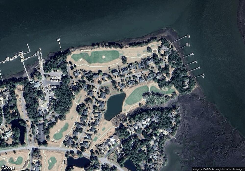
Map
Nearby Homes
- 34 Sparrow Nest Point
- 732 N Reeve Rd Unit 54
- 731 N Reeve Rd
- 1348 Rowland Dr
- 500 Bb Sams Dr
- 710 N Reeve Rd
- 495 Bb Sams Dr
- 1324 Rowland Dr
- 275 Locust Fence Rd
- 1507 Spring Well Rd
- 253 Locust Fence Rd
- 1119 Palmetto Point
- 1305 Rowland Dr
- 1116 Palmetto Point
- 459 Bb Sams Dr
- 663 S Reeve Rd
- 647 Island Cir E
- 1031 Curisha Point N
- 208 Locust Fence Rd
- 454 Bb Sams Dr
- 1219 Big Dataw Point
- 1215 Big Dataw Point
- 1218 Big Dataw Point
- 1220 Big Dataw Point
- 1218 Big Dataw Point Dr
- 1221 Big Dataw Point
- 1216 Big Dataw Point
- 1222 Big Dataw Point
- 1223 Big Dataw Point
- 1224 Big Dataw Point
- 11 Big Dataw Point
- 1211 Big Dataw Point
- 1215 Big Dataw Point Dr
- 1212 Big Dataw Point
- 1209 Big Dataw Point Dr
- 1209 Big Dataw Point Dr
- 866 N Reeve Rd
- 1225 Big Dataw Point
- 1226 Big Dataw Point
- 1209 Big Dataw Point