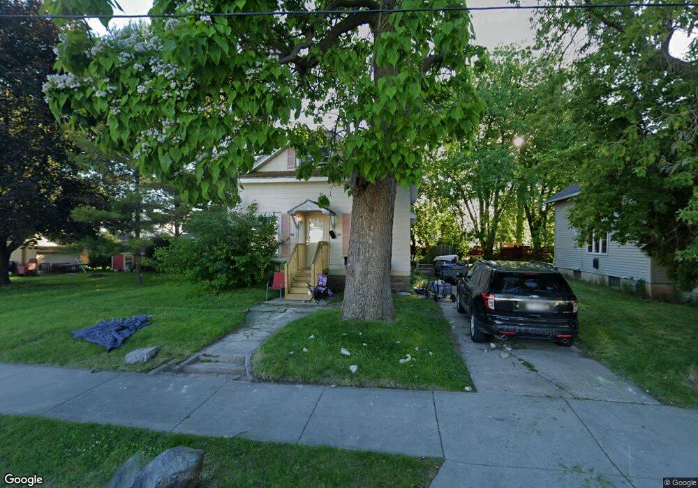
1217 Broad St Oshkosh, WI 54901
Midtown NeighborhoodEstimated Value: $154,076 - $203,000
2
Beds
1
Bath
1,196
Sq Ft
$140/Sq Ft
Est. Value
About This Home
This home is located at 1217 Broad St, Oshkosh, WI 54901 and is currently estimated at $167,519, approximately $140 per square foot. 1217 Broad St is a home located in Winnebago County with nearby schools including Emmeline Cook Elementary School, North High School, and Trinity Lutheran School.
Ownership History
Date
Name
Owned For
Owner Type
Purchase Details
Closed on
Aug 18, 2023
Sold by
Baird Tricia Lorin
Bought by
Dnr Llc
Current Estimated Value
Purchase Details
Closed on
Aug 15, 2023
Sold by
Baird Mary C
Bought by
Baird Tricia Lorin
Purchase Details
Closed on
Mar 14, 2008
Sold by
Conradt Cindy L
Bought by
Baird Mary C and Burns Nichlas R
Purchase Details
Closed on
Jan 28, 2008
Sold by
Tr Bank Of New York Trust Co
Bought by
Co Jpmorgan Chase Bank Na
Purchase Details
Closed on
Oct 16, 2007
Sold by
Rast John W
Bought by
Bank Of New York Trust Company
Create a Home Valuation Report for This Property
The Home Valuation Report is an in-depth analysis detailing your home's value as well as a comparison with similar homes in the area
Home Values in the Area
Average Home Value in this Area
Purchase History
| Date | Buyer | Sale Price | Title Company |
|---|---|---|---|
| Dnr Llc | $23,000 | None Listed On Document | |
| Baird Tricia Lorin | $23,000 | None Listed On Document | |
| Baird Mary C | $30,500 | None Available | |
| Co Jpmorgan Chase Bank Na | $18,400 | None Available | |
| Bank Of New York Trust Company | $64,600 | -- |
Source: Public Records
Tax History
| Year | Tax Paid | Tax Assessment Tax Assessment Total Assessment is a certain percentage of the fair market value that is determined by local assessors to be the total taxable value of land and additions on the property. | Land | Improvement |
|---|---|---|---|---|
| 2024 | $2,099 | $112,900 | $13,700 | $99,200 |
| 2023 | $1,254 | $53,900 | $8,100 | $45,800 |
| 2022 | $2,071 | $53,900 | $8,100 | $45,800 |
| 2021 | $1,177 | $53,900 | $8,100 | $45,800 |
| 2020 | $1,734 | $53,900 | $8,100 | $45,800 |
| 2019 | $1,939 | $53,900 | $8,100 | $45,800 |
| 2018 | $1,876 | $53,900 | $8,100 | $45,800 |
| 2017 | $2,812 | $53,900 | $8,100 | $45,800 |
| 2016 | $3,146 | $64,900 | $8,100 | $56,800 |
| 2015 | $2,958 | $64,900 | $8,100 | $56,800 |
| 2014 | $2,747 | $64,900 | $8,100 | $56,800 |
| 2013 | $2,654 | $64,900 | $8,100 | $56,800 |
Source: Public Records
Map
Nearby Homes
- 1214 Grand St
- 1327 Monroe St
- 1044 Grand St
- 1127 Jefferson St
- 1412 Jefferson St
- 1009 Jefferson St
- 1436 N Main St
- 1204 Grove St
- 812 Powers St
- 833 Jefferson St
- 1317 Hazel St
- 756 Powers St
- 1823 Ashland St
- 229 E Irving Ave
- 847 Frederick St
- 1217 Jackson St
- 407 E Irving Ave
- 1007 Jackson St
- 1109 E Murdock Ave
- 907 Jackson St
- 1221 Broad St
- 1227 Broad St
- 418 E New York Ave
- 414 E New York Ave
- 408 E New York Ave
- 1228 Grand St
- 402 E New York Ave
- 1237 Broad St
- 502 E New York Ave
- 1234 Grand St
- 1213 Grand St
- 403 E New York Ave
- 1218 Broad St
- 1224 Grand St
- 1224 Broad St
- 1215 Grand St
- 1221 Grand St
- 1132 Grand St
- 1225 Grand St
- 1303 Broad St
Your Personal Tour Guide
Ask me questions while you tour the home.