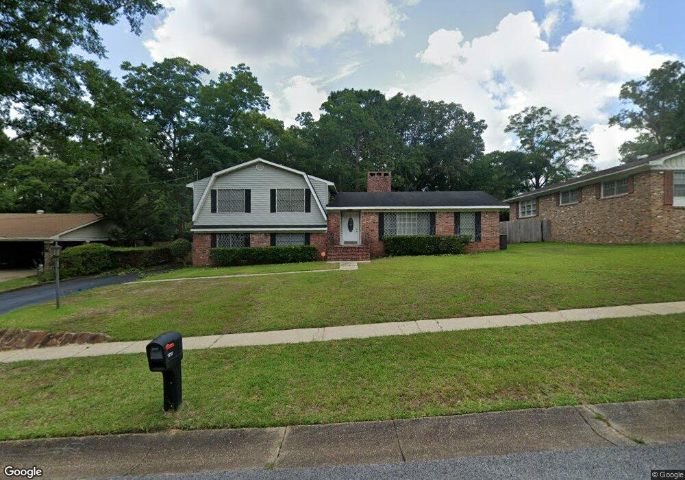
1217 Carre Dr W Mobile, AL 36618
Bellewood NeighborhoodEstimated Value: $189,540 - $248,000
Studio
2
Baths
2,150
Sq Ft
$100/Sq Ft
Est. Value
About This Home
This home is located at 1217 Carre Dr W, Mobile, AL 36618 and is currently estimated at $214,885, approximately $99 per square foot. 1217 Carre Dr W is a home located in Mobile County with nearby schools including Forest Hill Elementary School, CL Scarborough Middle School, and Mattie T Blount High School.
Ownership History
Date
Name
Owned For
Owner Type
Purchase Details
Closed on
Jun 29, 2006
Sold by
Rowser Levorn and Rowser Winonia E
Bought by
Rowser Winonia E
Current Estimated Value
Home Financials for this Owner
Home Financials are based on the most recent Mortgage that was taken out on this home.
Original Mortgage
$32,469
Interest Rate
6.55%
Mortgage Type
Stand Alone First
Purchase Details
Closed on
Aug 26, 1998
Sold by
Senn Robert V and Senn Teresa J
Bought by
Rowser Levorn and Rowser Winona E
Create a Home Valuation Report for This Property
The Home Valuation Report is an in-depth analysis detailing your home's value as well as a comparison with similar homes in the area
Home Values in the Area
Average Home Value in this Area
Purchase History
We collect this data history from publicly available records. To have your information removed, we recommend requesting removal directly through your county’s website.
| Date | Buyer | Sale Price | Title Company |
|---|---|---|---|
| Rowser Winonia E | -- | Slt | |
| Rowser Levorn | -- | -- |
Source: Public Records
Mortgage History
We collect this data history from publicly available records. To have your information removed, we recommend requesting removal directly through your county’s website.
| Date | Status | Borrower | Loan Amount |
|---|---|---|---|
| Closed | Rowser Winonia E | $32,469 |
Source: Public Records
Tax History
| Year | Tax Paid | Tax Assessment Tax Assessment Total Assessment is a certain percentage of the fair market value that is determined by local assessors to be the total taxable value of land and additions on the property. | Land | Improvement |
|---|---|---|---|---|
| 2025 | -- | $19,490 | $2,000 | $17,490 |
| 2024 | -- | $18,740 | $2,000 | $16,740 |
| 2023 | $0 | $14,680 | $2,000 | $12,680 |
| 2022 | $0 | $13,200 | $2,000 | $11,200 |
| 2021 | $771 | $13,200 | $2,000 | $11,200 |
| 2020 | $771 | $13,200 | $2,000 | $11,200 |
| 2019 | $780 | $13,340 | $0 | $0 |
| 2018 | $748 | $12,840 | $0 | $0 |
| 2017 | $684 | $11,820 | $0 | $0 |
| 2016 | $643 | $11,180 | $0 | $0 |
| 2013 | $671 | $11,480 | $0 | $0 |
Source: Public Records
Map
Nearby Homes
- 1124 Forest Glen Dr N
- 1510 Northview Dr
- 637 Tudor Ln
- 1100 Bristol Ct
- 637 Tudor Ln W
- 4708 Belle Wood Dr S
- 949 Knowles Ln
- 628 Chelsea Dr E
- 3927 Moffett Rd
- 332 Dalewood Dr
- 1758 La Pine Dr
- 559 Brawood Dr
- 4900 Brooke Ct
- 3650 Hayfield Place
- 3825 Moffett Rd
- 316 Dalewood Dr
- 506 Mann Dr
- 305 Springwood Dr N
- 1309 Alicia Dr
- 21 Provident Ln
- 1221 Carre Dr W
- 1213 Carre Dr W
- 1209 Carre Dr W
- 1301 Carre Dr W
- 1228 Stevens Ln
- 1224 Stevens Ln
- 1218 Carre Dr W
- 1232 Stevens Ln
- 1220 Stevens Ln
- 1214 Carre Dr W
- 1300 Stevens Ln
- 1216 Stevens Ln
- 1205 Carre Dr W
- 1300 Carre Dr W
- 1210 Carre Dr W
- 1305 Carre Dr W
- 1304 Stevens Ln
- 1214 Stevens Ln
- 4305 Benson Dr
- 0 Stevens Ln
Your Personal Tour Guide
Ask me questions while you tour the home.