Estimated Value: $416,000 - $446,000
4
Beds
2
Baths
2,374
Sq Ft
$184/Sq Ft
Est. Value
About This Home
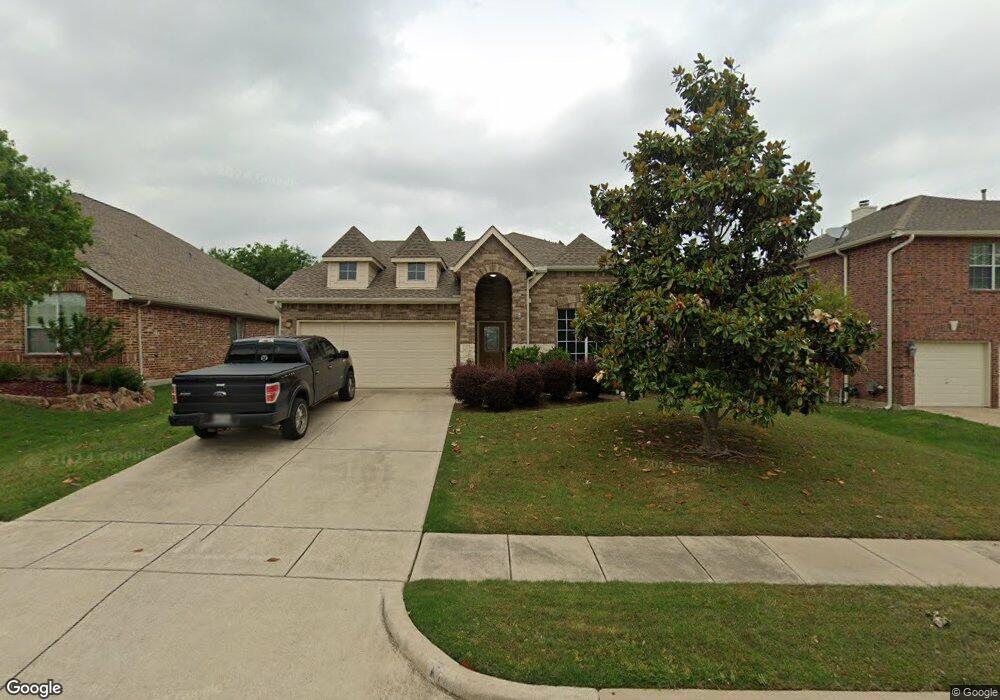
This home is located at 1217 Cedar Branch Dr, Wylie, TX 75098 and is currently estimated at $435,971, approximately $183 per square foot. 1217 Cedar Branch Dr is a home located in Collin County with nearby schools including Wally Watkins Elementary School, AB Harrison Intermediate School, and Grady Burnett J High School.
Ownership History
Date
Name
Owned For
Owner Type
Purchase Details
Closed on
Jul 19, 2007
Sold by
First Mortgage Of American Ltd
Bought by
Lee Richard L
Current Estimated Value
Home Financials for this Owner
Home Financials are based on the most recent Mortgage that was taken out on this home.
Original Mortgage
$166,821
Outstanding Balance
$105,515
Interest Rate
6.73%
Mortgage Type
Purchase Money Mortgage
Estimated Equity
$330,456
Create a Home Valuation Report for This Property
The Home Valuation Report is an in-depth analysis detailing your home's value as well as a comparison with similar homes in the area
Home Values in the Area
Average Home Value in this Area
Purchase History
| Date | Buyer | Sale Price | Title Company |
|---|---|---|---|
| Lee Richard L | -- | Atc |
Source: Public Records
Mortgage History
| Date | Status | Borrower | Loan Amount |
|---|---|---|---|
| Open | Lee Richard L | $166,821 |
Source: Public Records
Tax History Compared to Growth
Tax History
| Year | Tax Paid | Tax Assessment Tax Assessment Total Assessment is a certain percentage of the fair market value that is determined by local assessors to be the total taxable value of land and additions on the property. | Land | Improvement |
|---|---|---|---|---|
| 2025 | $6,277 | $422,794 | $105,000 | $342,228 |
| 2024 | $6,277 | $384,358 | $105,000 | $336,040 |
| 2023 | $6,277 | $349,416 | $95,000 | $337,876 |
| 2022 | $6,969 | $317,651 | $80,000 | $293,442 |
| 2021 | $6,794 | $288,774 | $70,000 | $218,774 |
| 2020 | $7,007 | $282,210 | $60,000 | $222,210 |
| 2019 | $7,265 | $276,476 | $60,000 | $216,476 |
| 2018 | $7,089 | $263,249 | $55,000 | $208,249 |
| 2017 | $6,470 | $246,358 | $45,000 | $201,358 |
| 2016 | $6,068 | $228,103 | $40,000 | $188,103 |
| 2015 | $4,851 | $205,749 | $40,000 | $165,749 |
Source: Public Records
Map
Nearby Homes
- 1210 Iron Horse St
- 1201 E Stone Rd
- 1318 Chestnut Hill Dr
- 1320 Cedar Branch Dr
- 1321 Iron Horse St
- 306 Foxwood Ct
- 1316 Taren Trail
- 1323 Canyon Creek Rd
- 1318 Taren Trail
- 312 Maltese Cir
- 825 Forest Edge Ln
- 407 Sparrow Dr
- 1330 Canyon Creek Rd
- 1503 E Collins Blvd
- 1209 Surrey Cir
- 811 Forest Edge Ln
- 409 Cedar Ridge Dr
- 820 Foxwood Ln
- 825 Foxwood Ln
- 800 Twin Oaks Dr
- 1219 Cedar Branch Dr
- 1215 Cedar Branch Dr
- 1213 Cedar Branch Dr
- 1221 Cedar Branch Dr
- 1208 Cedar Branch Dr
- 1206 Cedar Branch Dr
- 1210 Cedar Branch Dr
- 1211 Cedar Branch Dr
- 1204 Cedar Branch Dr
- 1212 Cedar Branch Dr
- 1202 Cedar Branch Dr
- 1225 Cedar Branch Dr
- 1214 Cedar Branch Dr
- 1203 Chestnut Hill Dr
- 1201 Chestnut Hill Dr
- 1209 Cedar Branch Dr
- 1205 Chestnut Hill Dr
- 1207 Chestnut Hill Dr
- 1200 Cedar Branch Dr
- 1216 Cedar Branch Dr