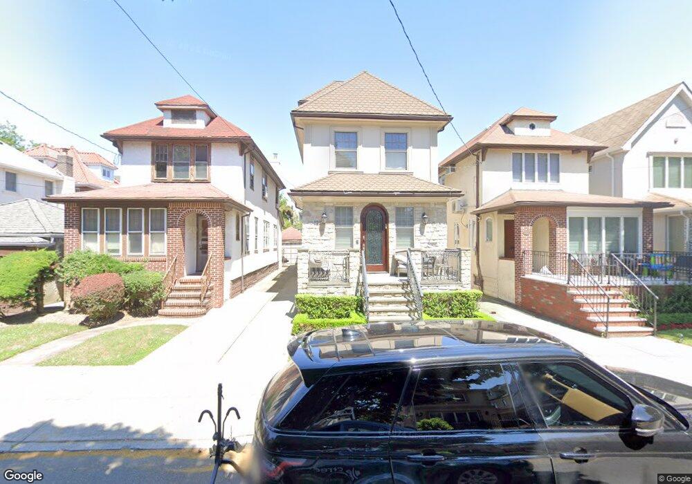
1217 E 26th St Brooklyn, NY 11210
Midwood NeighborhoodEstimated Value: $1,519,000 - $1,994,000
--
Bed
--
Bath
1,904
Sq Ft
$925/Sq Ft
Est. Value
About This Home
This home is located at 1217 E 26th St, Brooklyn, NY 11210 and is currently estimated at $1,762,052, approximately $925 per square foot. 1217 E 26th St is a home located in Kings County with nearby schools including P.S. 193 Gil Hodges, Andries Hudde School, and Urban Dove Team Charter School.
Ownership History
Date
Name
Owned For
Owner Type
Purchase Details
Closed on
Mar 27, 1996
Sold by
Grossman Natalie F
Bought by
Eisenreich Esther
Current Estimated Value
Home Financials for this Owner
Home Financials are based on the most recent Mortgage that was taken out on this home.
Original Mortgage
$185,400
Outstanding Balance
$8,354
Interest Rate
6.9%
Estimated Equity
$1,753,698
Create a Home Valuation Report for This Property
The Home Valuation Report is an in-depth analysis detailing your home's value as well as a comparison with similar homes in the area
Home Values in the Area
Average Home Value in this Area
Purchase History
| Date | Buyer | Sale Price | Title Company |
|---|---|---|---|
| Eisenreich Esther | $206,000 | Chicago Title Insurance Co | |
| Eisenreich Esther | -- | Commonwealth Land Title Ins |
Source: Public Records
Mortgage History
| Date | Status | Borrower | Loan Amount |
|---|---|---|---|
| Open | Eisenreich Esther | $185,400 |
Source: Public Records
Tax History Compared to Growth
Tax History
| Year | Tax Paid | Tax Assessment Tax Assessment Total Assessment is a certain percentage of the fair market value that is determined by local assessors to be the total taxable value of land and additions on the property. | Land | Improvement |
|---|---|---|---|---|
| 2025 | $10,531 | $98,520 | $21,360 | $77,160 |
| 2024 | $10,531 | $77,820 | $21,360 | $56,460 |
| 2023 | $10,649 | $77,700 | $21,360 | $56,340 |
| 2022 | $10,388 | $73,260 | $21,360 | $51,900 |
| 2021 | $10,332 | $80,340 | $21,360 | $58,980 |
| 2020 | $7,749 | $73,140 | $21,360 | $51,780 |
| 2019 | $9,140 | $73,140 | $21,360 | $51,780 |
| 2018 | $8,609 | $43,694 | $12,919 | $30,775 |
| 2017 | $8,540 | $43,365 | $15,210 | $28,155 |
| 2016 | $7,869 | $40,911 | $15,030 | $25,881 |
| 2015 | $4,721 | $38,596 | $17,077 | $21,519 |
| 2014 | $4,721 | $36,412 | $19,329 | $17,083 |
Source: Public Records
Map
Nearby Homes
- 2411 Ave M
- 1333 E 26th St
- 2307 Avenue M
- 2525 Nostrand Ave Unit 5S
- 2525 Nostrand Ave Unit 3R
- 2525 Nostrand Ave Unit 7S
- 2525 Nostrand Ave Unit 7E
- 2525 Nostrand Ave Unit 2R
- 2116 Avenue L
- 2112 Avenue L
- 1414 E 28th St
- 1422 E 27th St
- 1426 E 28th St
- 1773 Ocean Ave
- 1673 Ocean Ave Unit 3G
- 1429 E 29th St
- 3117 Kings Hwy
- 3115 Kings Hwy
- 3206 Avenue K
- 1024 E 26th St