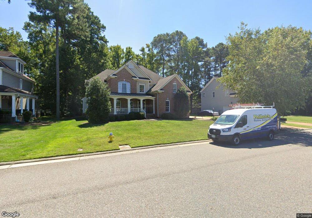
1217 Founders Pointe Trail Carrollton, VA 23314
Estimated Value: $717,000 - $753,206
5
Beds
4
Baths
3,374
Sq Ft
$217/Sq Ft
Est. Value
About This Home
This home is located at 1217 Founders Pointe Trail, Carrollton, VA 23314 and is currently estimated at $730,802, approximately $216 per square foot. 1217 Founders Pointe Trail is a home located in Isle of Wight County with nearby schools including Carrollton Elementary School, Smithfield Middle School, and Smithfield High School.
Ownership History
Date
Name
Owned For
Owner Type
Purchase Details
Closed on
Aug 25, 2022
Sold by
Fales Stacey H
Bought by
Clove Ronald Bradley and Clove Sara Grace
Current Estimated Value
Home Financials for this Owner
Home Financials are based on the most recent Mortgage that was taken out on this home.
Original Mortgage
$639,000
Outstanding Balance
$610,916
Interest Rate
5.51%
Mortgage Type
VA
Estimated Equity
$119,886
Purchase Details
Closed on
May 2, 2013
Sold by
Fales Scott F and Fales Stacey H
Purchase Details
Closed on
Jun 5, 2008
Purchase Details
Closed on
Aug 8, 2006
Create a Home Valuation Report for This Property
The Home Valuation Report is an in-depth analysis detailing your home's value as well as a comparison with similar homes in the area
Home Values in the Area
Average Home Value in this Area
Purchase History
| Date | Buyer | Sale Price | Title Company |
|---|---|---|---|
| Clove Ronald Bradley | $639,000 | Vintage Estates Title | |
| -- | -- | -- | |
| -- | $618,800 | -- | |
| -- | $337,500 | -- |
Source: Public Records
Mortgage History
| Date | Status | Borrower | Loan Amount |
|---|---|---|---|
| Open | Clove Ronald Bradley | $639,000 |
Source: Public Records
Tax History Compared to Growth
Tax History
| Year | Tax Paid | Tax Assessment Tax Assessment Total Assessment is a certain percentage of the fair market value that is determined by local assessors to be the total taxable value of land and additions on the property. | Land | Improvement |
|---|---|---|---|---|
| 2025 | $5,269 | $679,900 | $100,000 | $579,900 |
| 2024 | $4,963 | $679,900 | $100,000 | $579,900 |
| 2023 | $4,881 | $679,900 | $100,000 | $579,900 |
| 2022 | $4,277 | $496,800 | $100,000 | $396,800 |
| 2021 | $4,277 | $496,800 | $100,000 | $396,800 |
| 2020 | $4,277 | $496,800 | $100,000 | $396,800 |
| 2019 | $4,277 | $496,800 | $100,000 | $396,800 |
| 2018 | $4,382 | $509,200 | $100,000 | $409,200 |
| 2016 | $4,400 | $509,200 | $100,000 | $409,200 |
| 2015 | $4,297 | $509,200 | $100,000 | $409,200 |
| 2014 | $4,297 | $497,100 | $100,000 | $397,100 |
| 2013 | -- | $497,100 | $100,000 | $397,100 |
Source: Public Records
Map
Nearby Homes
- 209 Marshall Ln
- 104 Batten Cove
- 109 Batten Cove
- 157 Liberty Way
- 101 Lafayette Pointe
- 12 Saint Catherine Dr
- 303 Tributary Ln
- 109 Green Ct
- 379 Tributary Ln
- 15104 S Brading Ct
- 391 Tributary Ln
- 108 Early Station Trail
- 399 Tributary Ln
- 411 Tributary Ln
- 325 Early Station Trail
- 430 Early Station Trail
- 1708 Kathy Ann Way
- 219 Early Station Trail
- 1701 Kathy Ann Way
- 419 Early Station Trail
- 1215 Founders Pointe Trail
- 1219 Founders Pointe Trail
- 217 Summerhouse Ln
- 215 Summerhouse Ln
- 121 Alexandria Way
- 1104 Founders Pointe Trail
- 216 Summerhouse Ln
- 1223 Founders Pointe Trail
- 213 Summerhouse Ln
- 122 Alexandria Way
- 1209 Founders Pointe Trail
- 1225 Founders Pointe Trail
- 120 Alexandria Way
- 211 Summerhouse Ln
- 214 Summerhouse Ln
- 117 Alexandria Way
- 118 Alexandria Way
- 1207 Founders Pointe Trail
- 1227 Founders Pointe Trail
- 212 Summerhouse Ln