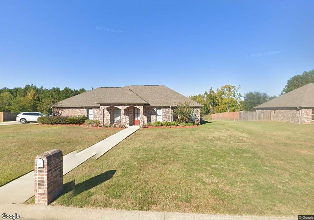
1217 Harmony Ln Deridder, LA 70634
Estimated Value: $278,165 - $300,000
4
Beds
2
Baths
2,870
Sq Ft
$100/Sq Ft
Est. Value
About This Home
This home is located at 1217 Harmony Ln, Deridder, LA 70634 and is currently estimated at $287,291, approximately $100 per square foot. 1217 Harmony Ln is a home located in Beauregard Parish with nearby schools including K.R. Hanchey Elementary School, Pine Wood Elementary School, and DeRidder Junior High School.
Ownership History
Date
Name
Owned For
Owner Type
Purchase Details
Closed on
Dec 23, 2015
Sold by
Durham David Lynn and Jones Durham Charla Sheilane
Bought by
Mayo Gene H
Current Estimated Value
Home Financials for this Owner
Home Financials are based on the most recent Mortgage that was taken out on this home.
Original Mortgage
$209,950
Outstanding Balance
$165,295
Interest Rate
3.98%
Mortgage Type
New Conventional
Estimated Equity
$121,996
Create a Home Valuation Report for This Property
The Home Valuation Report is an in-depth analysis detailing your home's value as well as a comparison with similar homes in the area
Purchase History
| Date | Buyer | Sale Price | Title Company |
|---|---|---|---|
| Mayo Gene H | $221,000 | Attorney |
Source: Public Records
Mortgage History
| Date | Status | Borrower | Loan Amount |
|---|---|---|---|
| Open | Mayo Gene H | $209,950 |
Source: Public Records
Tax History
| Year | Tax Paid | Tax Assessment Tax Assessment Total Assessment is a certain percentage of the fair market value that is determined by local assessors to be the total taxable value of land and additions on the property. | Land | Improvement |
|---|---|---|---|---|
| 2025 | $2,117 | $20,482 | $1,500 | $18,982 |
| 2024 | $2,102 | $20,482 | $1,500 | $18,982 |
| 2023 | $2,151 | $20,482 | $1,500 | $18,982 |
| 2022 | $2,151 | $20,482 | $1,500 | $18,982 |
| 2021 | $2,151 | $20,482 | $1,500 | $18,982 |
| 2020 | $2,150 | $20,482 | $1,500 | $18,982 |
| 2019 | $2,138 | $20,332 | $1,500 | $18,832 |
| 2018 | $2,138 | $20,332 | $1,500 | $18,832 |
| 2017 | $2,138 | $20,332 | $1,500 | $18,832 |
| 2016 | $2,138 | $20,332 | $1,500 | $18,832 |
| 2015 | $1,405 | $20,608 | $1,000 | $19,608 |
Source: Public Records
Map
Nearby Homes
- 0 Gladys St
- 1515 Rose St
- 423 Logan St
- 629 Parish Line Rd
- 810 Greenbriar St
- 605 Barbara St
- 903 Greenbriar St
- 507 E North St
- 1844 Woodlawn St
- 506 Hillcrest Rd
- 1016 Meadowbrook St
- 0 Johnnie B Hall Memorial Hwy
- 1007 Nichols St
- 0 N Texas St
- 406 Cain Ave
- 905 N Texas St
- 501 Magnolia St
- 921 Lake Court Dr
- 737 Roberts St Unit A and B
- 1151 Lucius Dr
- 1223 Harmony Ln
- 1211 Harmony Ln
- 1216 Harmony Ln
- 1222 Harmony Ln
- 1210 Harmony Ln
- 1229 Harmony Ln
- 1205 Harmony Ln
- 1205 Harmony Ln Unit LANE
- 1228 Harmony Ln
- 1204 Harmony Ln
- 1234 Harmony Ln
- 295 L C Lee Rd
- 1241 Harmony Ln
- 1240 Harmony Ln
- 1247 Harmony Ln
- 1246 Harmony Ln
- 1253 Harmony Ln
- 1252 Harmony Ln
- 1258 Harmony Ln
- 1258 Harmony Ln Unit Ln
Your Personal Tour Guide
Ask me questions while you tour the home.