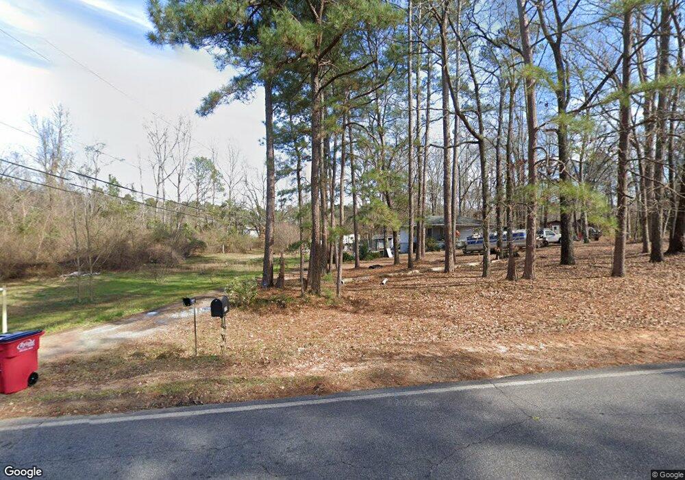
1217 Johnson Rd Macon, GA 31220
Estimated Value: $246,000 - $307,000
3
Beds
3
Baths
1,758
Sq Ft
$157/Sq Ft
Est. Value
About This Home
This home is located at 1217 Johnson Rd, Macon, GA 31220 and is currently estimated at $276,724, approximately $157 per square foot. 1217 Johnson Rd is a home located in Bibb County with nearby schools including Heritage Elementary School, Weaver Middle School, and Westside High School.
Ownership History
Date
Name
Owned For
Owner Type
Purchase Details
Closed on
Feb 22, 2022
Sold by
Lewis Amerson Jr Benjamin
Bought by
Linville Ronald S
Current Estimated Value
Purchase Details
Closed on
Jan 18, 2018
Sold by
Morrison Johnnie Leonard
Bought by
Amerson Benjamin Lewis and Amerson Rhonda M
Purchase Details
Closed on
Dec 14, 1997
Sold by
Dorothy K Morrison
Bought by
Morrison Johnnie Leonard
Create a Home Valuation Report for This Property
The Home Valuation Report is an in-depth analysis detailing your home's value as well as a comparison with similar homes in the area
Purchase History
| Date | Buyer | Sale Price | Title Company |
|---|---|---|---|
| Linville Ronald S | $85,000 | Jill S Thompson Pc | |
| Amerson Benjamin Lewis | $50,000 | None Available | |
| Morrison Johnnie Leonard | $10,000 | -- |
Source: Public Records
Tax History
| Year | Tax Paid | Tax Assessment Tax Assessment Total Assessment is a certain percentage of the fair market value that is determined by local assessors to be the total taxable value of land and additions on the property. | Land | Improvement |
|---|---|---|---|---|
| 2025 | $2,819 | $121,705 | $25,193 | $96,512 |
| 2024 | $2,913 | $121,705 | $25,193 | $96,512 |
| 2023 | $1,825 | $96,850 | $18,322 | $78,528 |
| 2022 | $758 | $21,902 | $19,804 | $2,098 |
| 2021 | $832 | $21,902 | $19,804 | $2,098 |
| 2020 | $850 | $21,902 | $19,804 | $2,098 |
| 2019 | $857 | $21,902 | $19,804 | $2,098 |
| 2018 | $1,313 | $21,902 | $19,804 | $2,098 |
| 2017 | $1,182 | $31,554 | $28,762 | $2,792 |
| 2016 | $1,244 | $35,944 | $29,124 | $6,820 |
| 2015 | $1,760 | $35,944 | $29,124 | $6,820 |
| 2014 | $1,565 | $31,917 | $29,124 | $2,792 |
Source: Public Records
Map
Nearby Homes
- 1487 Queen Anns Ln
- 1379 Royalwyn Dr
- 6591 Thomaston Rd
- 1301 Johnson Rd
- 1303 Saddle Horn Dr
- 841 Chisholm Trail
- 109 Southfork Dr
- 1570 Johnson Rd
- 1294 Santa fe Trail
- 2009 Greentree Pkwy
- 2037 Greentree Pkwy
- 213 J r Blvd
- 1369 King Arthur Dr
- 938 King Arthur Dr
- 103 Dorchester Ct
- 1776 Bridle
- 1153 Gareth Ln
- 1315 Excalibur Dr
- 6806 Bay Point Dr
- 508 Candlewick Ct
- 1175 Johnson Rd
- 1227 Johnson Rd
- 1155 Johnson Rd
- 1226 Rainey Rd
- 1176 Rainey Rd
- 1156 Rainey Rd
- 6780 Thomaston Rd
- 6800 Lower Thomaston Rd
- 1240 Johnson Rd
- 1257 Johnson Rd
- 6718 Thomaston Rd
- 1278 Johnson Rd
- 1267 Johnson Rd
- 1290 Rainey Rd
- 1488 Royalwyn Ct
- 1511 Tudor Ct
- 1473 Royalwyn Ct
- 1280 Rainey Rd
- 1490 Royalwyn Cir
- 1495 Royalwyn Cir
Your Personal Tour Guide
Ask me questions while you tour the home.