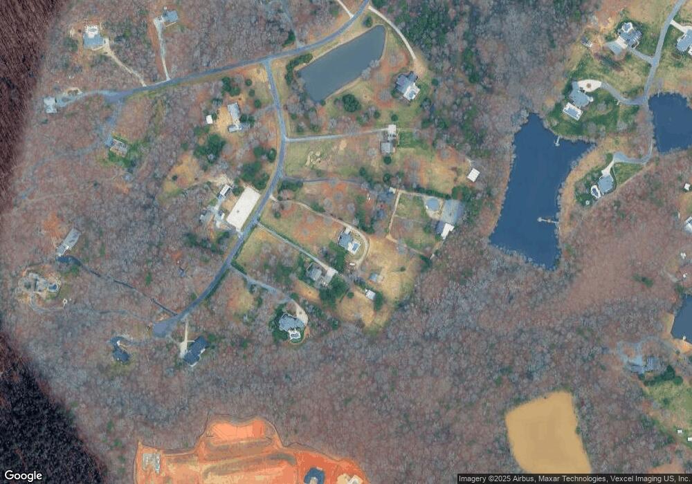
1217 Larkridge Ct Waxhaw, NC 28173
Estimated Value: $1,367,000 - $1,856,000
--
Bed
3
Baths
3,460
Sq Ft
$447/Sq Ft
Est. Value
About This Home
This home is located at 1217 Larkridge Ct, Waxhaw, NC 28173 and is currently estimated at $1,545,605, approximately $446 per square foot. 1217 Larkridge Ct is a home located in Union County with nearby schools including Marvin Elementary School, Marvin Ridge Middle School, and Marvin Ridge High School.
Ownership History
Date
Name
Owned For
Owner Type
Purchase Details
Closed on
Dec 7, 2007
Sold by
Seaman Robert L and Seaman Donna M
Bought by
Hinkle William G and Hinkle Robin M
Current Estimated Value
Home Financials for this Owner
Home Financials are based on the most recent Mortgage that was taken out on this home.
Original Mortgage
$80,000
Outstanding Balance
$50,611
Interest Rate
6.29%
Mortgage Type
Purchase Money Mortgage
Estimated Equity
$1,494,995
Purchase Details
Closed on
Jul 7, 2000
Sold by
Ford Sheila R and Husband Donald N
Bought by
Seaman Robert L and Seaman Donna M
Home Financials for this Owner
Home Financials are based on the most recent Mortgage that was taken out on this home.
Original Mortgage
$76,500
Interest Rate
8.63%
Create a Home Valuation Report for This Property
The Home Valuation Report is an in-depth analysis detailing your home's value as well as a comparison with similar homes in the area
Home Values in the Area
Average Home Value in this Area
Purchase History
| Date | Buyer | Sale Price | Title Company |
|---|---|---|---|
| Hinkle William G | $768,500 | None Available | |
| Seaman Robert L | $85,000 | -- |
Source: Public Records
Mortgage History
| Date | Status | Borrower | Loan Amount |
|---|---|---|---|
| Open | Hinkle William G | $80,000 | |
| Previous Owner | Seaman Robert L | $76,500 |
Source: Public Records
Tax History Compared to Growth
Tax History
| Year | Tax Paid | Tax Assessment Tax Assessment Total Assessment is a certain percentage of the fair market value that is determined by local assessors to be the total taxable value of land and additions on the property. | Land | Improvement |
|---|---|---|---|---|
| 2024 | $5,314 | $715,500 | $317,000 | $398,500 |
| 2023 | $5,155 | $715,500 | $317,000 | $398,500 |
| 2022 | $5,149 | $715,500 | $317,000 | $398,500 |
| 2021 | $4,956 | $715,500 | $317,000 | $398,500 |
| 2020 | $4,634 | $601,700 | $88,000 | $513,700 |
| 2019 | $4,912 | $601,700 | $88,000 | $513,700 |
| 2018 | $4,611 | $601,700 | $88,000 | $513,700 |
| 2017 | $5,176 | $601,700 | $88,000 | $513,700 |
| 2016 | $4,788 | $601,700 | $88,000 | $513,700 |
| 2015 | $4,842 | $601,700 | $88,000 | $513,700 |
| 2014 | $2,867 | $417,360 | $110,000 | $307,360 |
Source: Public Records
Map
Nearby Homes
- 1228 Mesa Way Unit 15
- 1232 Mesa Way Unit 16
- 1224 Mesa Way Unit 14
- 1021 Moonlit Ln Unit 5
- 1017 Moonlit Ln Unit 4
- 1121 Mesa Way Unit 43
- 1009 Moonlit Ln Unit 2
- 1405 Waxhaw Marvin Rd
- 1005 Moonlit Ln Unit 1
- 1017 Broadmoor Dr
- The Magnolia Plan at Broadmoor
- The Poplar Plan at Broadmoor
- The River Birch Plan at Broadmoor
- 1017 Broadmoor Dr Unit 60
- 108 Barlow St
- 1016 Broadmoor Dr
- 1016 Odell Farm Ln
- 10209 New Town Rd
- Marion Plan at Heritage at Marvin
- Ambrose Plan at Heritage at Marvin
- 1221 Larkridge Ct
- 1213 Larkridge Ct
- 1209 Larkridge Ct
- 1303 Larkridge Ct
- 1220 Larkridge Ct
- 1220 Larkridge Ct Unit 13
- 1204 Larkridge Ct
- 1204 Larkridge Ct Unit 14
- 1302 Larkridge Ct
- 1109 Meadowlark Ln
- 1313 Larkridge Ct
- 1219 Meadowlark Ln
- 1318 Larkridge Ct
- 918 Rising Rd
- 1200 Meadowlark Ln
- 1208 Mesa Way Unit Lot 10
- 919 Rising Rd
- 1308 Larkridge Ct
- 1228 Mesa Way
- 1110 Meadowlark Ln
