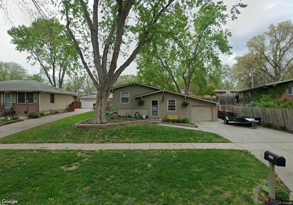
1217 Meadow Dale Dr Lincoln, NE 68505
Meadowlane NeighborhoodEstimated Value: $213,988 - $244,000
3
Beds
2
Baths
896
Sq Ft
$259/Sq Ft
Est. Value
About This Home
This home is located at 1217 Meadow Dale Dr, Lincoln, NE 68505 and is currently estimated at $231,747, approximately $258 per square foot. 1217 Meadow Dale Dr is a home located in Lancaster County with nearby schools including Meadow Lane Elementary School, C. Culler Middle School, and Lincoln East High School.
Ownership History
Date
Name
Owned For
Owner Type
Purchase Details
Closed on
Mar 28, 2016
Sold by
Rosenlof Jeffrey V and Rosenlof Susan J
Bought by
Rosenlof Jeffrey C and Rosenlof Susan J
Current Estimated Value
Purchase Details
Closed on
Apr 8, 2014
Sold by
Rosenlof Jeffrey V and Rosenlof Susan J
Bought by
Rosenlof Jeffrey V and Rosenlof Susan J
Create a Home Valuation Report for This Property
The Home Valuation Report is an in-depth analysis detailing your home's value as well as a comparison with similar homes in the area
Home Values in the Area
Average Home Value in this Area
Purchase History
| Date | Buyer | Sale Price | Title Company |
|---|---|---|---|
| Rosenlof Jeffrey C | -- | None Available | |
| Rosenlof Jeffrey | -- | None Available | |
| Rosenlof Jeffrey V | -- | None Available | |
| Rosenlof Jeffrey | -- | None Available |
Source: Public Records
Tax History Compared to Growth
Tax History
| Year | Tax Paid | Tax Assessment Tax Assessment Total Assessment is a certain percentage of the fair market value that is determined by local assessors to be the total taxable value of land and additions on the property. | Land | Improvement |
|---|---|---|---|---|
| 2025 | $2,737 | $217,600 | $50,000 | $167,600 |
| 2024 | $2,737 | $195,800 | $45,000 | $150,800 |
| 2023 | $3,084 | $184,000 | $45,000 | $139,000 |
| 2022 | $3,195 | $160,300 | $35,000 | $125,300 |
| 2021 | $3,022 | $160,300 | $35,000 | $125,300 |
| 2020 | $2,581 | $135,100 | $35,000 | $100,100 |
| 2019 | $2,582 | $135,100 | $35,000 | $100,100 |
| 2018 | $2,372 | $123,600 | $35,000 | $88,600 |
| 2017 | $2,394 | $123,600 | $35,000 | $88,600 |
| 2016 | $2,358 | $121,100 | $30,000 | $91,100 |
| 2015 | $2,342 | $121,100 | $30,000 | $91,100 |
| 2014 | $1,982 | $101,900 | $30,000 | $71,900 |
| 2013 | -- | $101,900 | $30,000 | $71,900 |
Source: Public Records
Map
Nearby Homes
- 1324 Meadow Dale Dr
- 7140 Starr St
- 7321 York Ln
- 1011 Scenic Ln
- 7601 Holdrege St
- 1624 N 73rd St
- 7611 Fairfax Ave
- 6927 Holdrege St
- 820 E Avon Ln
- 1131 N 79th St
- 6810 Holdrege St
- 7620 Vine St
- 1736 N 76th St
- 7909 Leo Ln
- 6644 Dudley St
- 1040 N 66th St
- 7301 Colby St
- 7101 Colby St
- 601 N 75th St
- 6721 Bethany Park Dr
- 1211 Meadow Dale Dr
- 1211 Meadowdale Dr
- 1301 Lancaster Ln
- 7235 Dudley St
- 7240 Orchard St
- 7245 Dudley St
- 7230 Orchard St
- 1262 Meadow Dale Dr
- 7225 Dudley St
- 1230 Meadow Dale Dr
- 1220 Meadow Dale Dr
- 0 Meadowdale Dr
- 7220 Orchard St
- 7219 Dudley St
- 1301 Meadow Dale Dr
- 1210 Meadow Dale Dr
- 1310 Lancaster Ln
- 1235 Lancaster Ln
- 7225 Orchard St
- 1320 Lancaster Ln