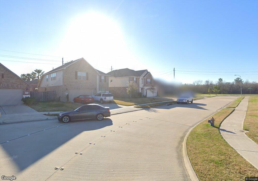
1217 Misty Brook Ln Pearland, TX 77581
Outlying Friendswood City NeighborhoodEstimated Value: $451,712 - $558,000
--
Bed
--
Bath
3,352
Sq Ft
$145/Sq Ft
Est. Value
About This Home
This home is located at 1217 Misty Brook Ln, Pearland, TX 77581 and is currently estimated at $487,678, approximately $145 per square foot. 1217 Misty Brook Ln is a home with nearby schools including Barbara Cockrell Elementary School, Leon H. Sablatura Middle School, and Pearland Junior High School West.
Ownership History
Date
Name
Owned For
Owner Type
Purchase Details
Closed on
Feb 18, 2016
Sold by
Pulte Homes Of Texas Lp
Bought by
Clanton Brad and Clanton Denise
Current Estimated Value
Home Financials for this Owner
Home Financials are based on the most recent Mortgage that was taken out on this home.
Original Mortgage
$240,000
Outstanding Balance
$191,448
Interest Rate
3.97%
Mortgage Type
New Conventional
Estimated Equity
$296,230
Create a Home Valuation Report for This Property
The Home Valuation Report is an in-depth analysis detailing your home's value as well as a comparison with similar homes in the area
Home Values in the Area
Average Home Value in this Area
Purchase History
| Date | Buyer | Sale Price | Title Company |
|---|---|---|---|
| Clanton Brad | -- | None Available |
Source: Public Records
Mortgage History
| Date | Status | Borrower | Loan Amount |
|---|---|---|---|
| Open | Clanton Brad | $240,000 |
Source: Public Records
Tax History Compared to Growth
Tax History
| Year | Tax Paid | Tax Assessment Tax Assessment Total Assessment is a certain percentage of the fair market value that is determined by local assessors to be the total taxable value of land and additions on the property. | Land | Improvement |
|---|---|---|---|---|
| 2025 | $10,020 | $450,750 | $36,380 | $414,370 |
| 2023 | $10,020 | $400,000 | $36,380 | $363,620 |
| 2022 | $11,569 | $365,464 | $36,380 | $348,290 |
| 2021 | $11,285 | $332,240 | $33,070 | $299,170 |
| 2020 | $11,961 | $340,000 | $33,070 | $306,930 |
| 2019 | $11,400 | $324,000 | $33,070 | $290,930 |
| 2018 | $11,047 | $315,000 | $33,070 | $281,930 |
| 2017 | $11,053 | $314,000 | $33,070 | $280,930 |
| 2016 | $5,926 | $168,330 | $33,070 | $135,260 |
| 2015 | -- | $4,500 | $4,500 | $0 |
Source: Public Records
Map
Nearby Homes
- 1112 Breckonridge Cir
- 1107 Barkly Ct
- 3411 Glastonbury Dr
- 1219 Lazy Springs Ln
- 1417 Silver Rings Ct
- 3406 Robinson Dr
- 3701 Boulder Ridge
- 1006 Union Valley Dr
- 3415 Monarch Meadow Ln
- 1604 Spring Glen Ln
- 1605 Spring Glen Ln
- 1106 Glenda St
- 1705 White Willow Ln
- 3607 Bartlett Way Dr
- 3759 Knapp Rd
- 3627 Bartlett Way Dr
- 3815 Alice St
- 3407 Snowblossom Ct
- 1415 Laurel Leaf Ln
- 2107 N Main St
- 1215 Misty Brook Ln
- 1219 Misty Brook Ln
- 1213 Misty Brook Ln
- 1116 Barkly Ct
- 3412 Harvest Valley Ln
- 1114 Barkly Ct
- 3407 Harvest Valley Ln
- 3414 Harvest Valley Ln
- 3415 Waverly Springs Ln
- 3409 Harvest Valley Ln
- 3411 Harvest Valley Ln
- 1112 Barkly Ct
- 3416 Harvest Valley Drive Ln
- 1115 Barkly Ct
- 3417 Waverly Springs Ln
- 3413 Harvest Valley Ln
- 3418 Harvest Valley Ln
- 1110 Barkly Ct
- 3415 Harvest Valley Ln
- 3419 Waverly Springs Ln