1217 Morrow Rd Shreveport, LA 71107
Estimated Value: $258,000 - $297,588
3
Beds
2
Baths
2,316
Sq Ft
$123/Sq Ft
Est. Value
About This Home
This home is located at 1217 Morrow Rd, Shreveport, LA 71107 and is currently estimated at $285,147, approximately $123 per square foot. 1217 Morrow Rd is a home located in Caddo Parish with nearby schools including Mooringsport Elementary School, Judson Fundamental Elementary School, and Fairfield Magnet School.
Ownership History
Date
Name
Owned For
Owner Type
Purchase Details
Closed on
Jun 20, 2012
Sold by
Scott Walter and Scott Gloria Kessee
Bought by
Neill Timothy
Current Estimated Value
Home Financials for this Owner
Home Financials are based on the most recent Mortgage that was taken out on this home.
Original Mortgage
$110,000
Outstanding Balance
$16,293
Interest Rate
3.81%
Mortgage Type
New Conventional
Estimated Equity
$268,854
Create a Home Valuation Report for This Property
The Home Valuation Report is an in-depth analysis detailing your home's value as well as a comparison with similar homes in the area
Home Values in the Area
Average Home Value in this Area
Purchase History
| Date | Buyer | Sale Price | Title Company |
|---|---|---|---|
| Neill Timothy | $179,900 | Multiple |
Source: Public Records
Mortgage History
| Date | Status | Borrower | Loan Amount |
|---|---|---|---|
| Open | Neill Timothy | $110,000 |
Source: Public Records
Tax History Compared to Growth
Tax History
| Year | Tax Paid | Tax Assessment Tax Assessment Total Assessment is a certain percentage of the fair market value that is determined by local assessors to be the total taxable value of land and additions on the property. | Land | Improvement |
|---|---|---|---|---|
| 2024 | $3,004 | $20,463 | $3,639 | $16,824 |
| 2023 | $2,826 | $18,693 | $3,465 | $15,228 |
| 2022 | $2,826 | $18,693 | $3,465 | $15,228 |
| 2021 | $2,828 | $18,693 | $3,465 | $15,228 |
| 2020 | $2,828 | $18,693 | $3,465 | $15,228 |
| 2019 | $2,772 | $18,499 | $3,465 | $15,034 |
| 2018 | $1,679 | $18,499 | $3,465 | $15,034 |
| 2017 | $2,767 | $18,499 | $3,465 | $15,034 |
| 2015 | $1,787 | $19,050 | $3,470 | $15,580 |
| 2014 | $1,799 | $19,050 | $3,470 | $15,580 |
| 2013 | -- | $19,050 | $3,470 | $15,580 |
Source: Public Records
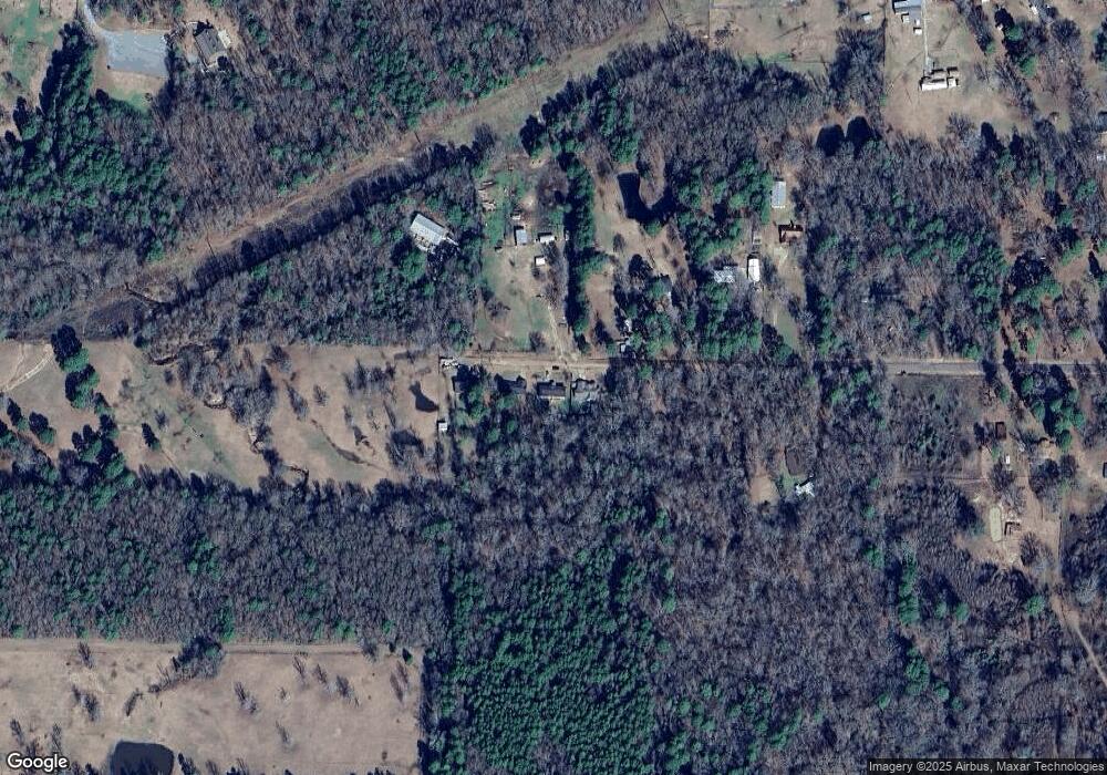
Map
Nearby Homes
- 0 Morrow Rd
- 9480 Mccain Rd
- 6980 Regatta Dr
- 6964 Emerald Bay Loop
- 7478 Henderson Gin Rd
- 2257 Soda Lake Cir
- 8818 Mccain Rd
- 2271 Soda Lake Cir
- 2286 J And j Trail
- 009 Castle Dale Loop
- 7436 Henderson Gin Rd
- 6948 N Colony Dr
- 6625 Springlake Cir
- 7415 Henderson Gin Rd
- 6186 Pine Tree Loop
- 6154 Pine Tree Loop
- 8340 Old Mooringsport Rd
- 0 Mirkwood Unit 94 20698275
- 0 Mirkwood Unit 97 20698306
- 0 Mirkwood Unit 96 20698300