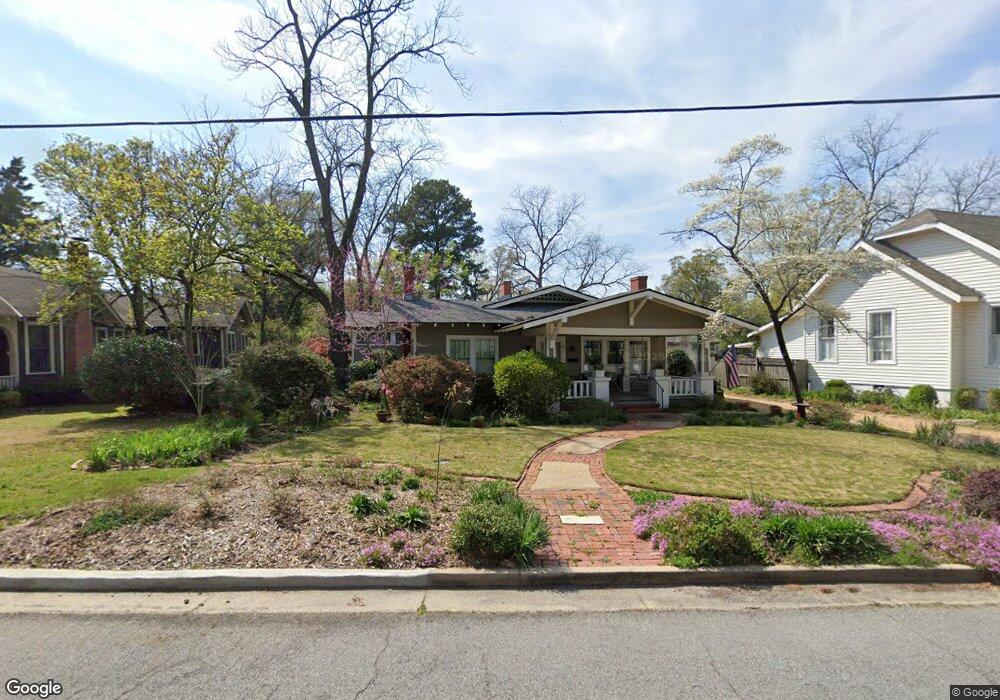
1217 Munro Ave Columbus, GA 31906
Wynnton Village NeighborhoodEstimated Value: $211,000 - $248,000
3
Beds
3
Baths
1,898
Sq Ft
$119/Sq Ft
Est. Value
About This Home
This home is located at 1217 Munro Ave, Columbus, GA 31906 and is currently estimated at $225,200, approximately $118 per square foot. 1217 Munro Ave is a home located in Muscogee County with nearby schools including Richards Middle School, Hardaway High School, and Wynnton Elementary School.
Ownership History
Date
Name
Owned For
Owner Type
Purchase Details
Closed on
May 14, 2013
Sold by
Seckinger Michael
Bought by
Brabson Suzanne E C
Current Estimated Value
Purchase Details
Closed on
Sep 16, 2008
Sold by
Seckinger Vicki
Bought by
Seckinger Michael
Create a Home Valuation Report for This Property
The Home Valuation Report is an in-depth analysis detailing your home's value as well as a comparison with similar homes in the area
Home Values in the Area
Average Home Value in this Area
Purchase History
| Date | Buyer | Sale Price | Title Company |
|---|---|---|---|
| Brabson Suzanne E C | $70,000 | -- | |
| Seckinger Michael | -- | None Available |
Source: Public Records
Tax History
| Year | Tax Paid | Tax Assessment Tax Assessment Total Assessment is a certain percentage of the fair market value that is determined by local assessors to be the total taxable value of land and additions on the property. | Land | Improvement |
|---|---|---|---|---|
| 2025 | $268 | $75,392 | $10,440 | $64,952 |
| 2024 | $2,676 | $75,392 | $10,440 | $64,952 |
| 2023 | $1,999 | $75,392 | $10,440 | $64,952 |
| 2022 | $2,791 | $64,300 | $10,440 | $53,860 |
| 2021 | $2,812 | $64,640 | $10,440 | $54,200 |
| 2020 | $2,785 | $64,640 | $10,440 | $54,200 |
| 2019 | $2,795 | $64,640 | $10,440 | $54,200 |
| 2018 | $2,795 | $64,640 | $10,440 | $54,200 |
| 2017 | $2,806 | $64,640 | $10,440 | $54,200 |
| 2016 | $2,817 | $81,572 | $10,924 | $70,648 |
| 2015 | $2,821 | $81,572 | $10,924 | $70,648 |
| 2014 | $1,819 | $44,000 | $10,924 | $33,076 |
| 2013 | -- | $39,761 | $10,924 | $28,837 |
Source: Public Records
Map
Nearby Homes
- 1315 Eberhart Ave
- 2551 Wynnton Rd
- 1227 Forest Ave Unit 4
- 2133 13th St
- 2000 Poplar Dr
- 2134 13th St
- 1504 17th Ave
- 1000 Peachtree Dr
- 1814 Elmwood Dr
- 1557 18th Ave
- 2243 14th St
- 2114 Forest Ct
- 1533 15th Ave
- 1011 Blandford Ave
- 2039 8th St
- 2429 Bell St
- 1333 Springer St
- 1319 Hilton Ave
- 1641 16th Ave
- 2205 Willard St