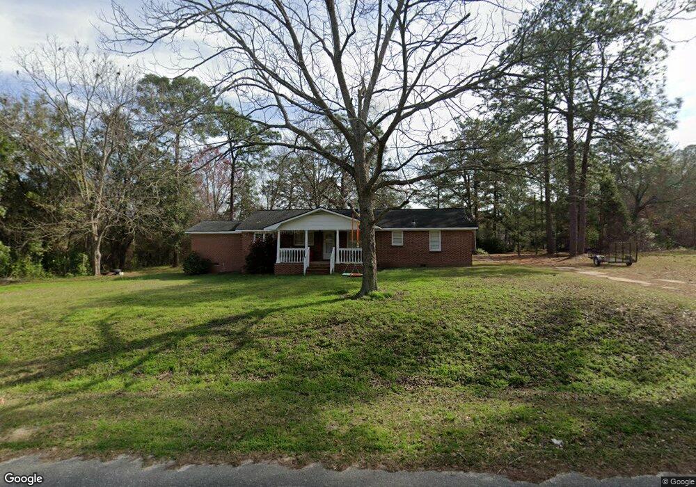
1217 Porter St Moultrie, GA 31768
Estimated Value: $107,000 - $185,000
--
Bed
2
Baths
1,850
Sq Ft
$84/Sq Ft
Est. Value
About This Home
This home is located at 1217 Porter St, Moultrie, GA 31768 and is currently estimated at $154,744, approximately $83 per square foot. 1217 Porter St is a home located in Colquitt County with nearby schools including Cox Elementary School, Willie J. Williams Middle School, and C.A. Gray Junior High School.
Ownership History
Date
Name
Owned For
Owner Type
Purchase Details
Closed on
May 26, 2021
Sold by
Giles Gladys L Estate
Bought by
Gray John M
Current Estimated Value
Home Financials for this Owner
Home Financials are based on the most recent Mortgage that was taken out on this home.
Original Mortgage
$99,170
Outstanding Balance
$89,786
Interest Rate
2.9%
Mortgage Type
FHA
Estimated Equity
$64,958
Purchase Details
Closed on
Jul 28, 1975
Bought by
Giles W R Estate
Create a Home Valuation Report for This Property
The Home Valuation Report is an in-depth analysis detailing your home's value as well as a comparison with similar homes in the area
Home Values in the Area
Average Home Value in this Area
Purchase History
| Date | Buyer | Sale Price | Title Company |
|---|---|---|---|
| Gray John M | $101,000 | -- | |
| Giles W R Estate | -- | -- |
Source: Public Records
Mortgage History
| Date | Status | Borrower | Loan Amount |
|---|---|---|---|
| Open | Gray John M | $99,170 |
Source: Public Records
Tax History Compared to Growth
Tax History
| Year | Tax Paid | Tax Assessment Tax Assessment Total Assessment is a certain percentage of the fair market value that is determined by local assessors to be the total taxable value of land and additions on the property. | Land | Improvement |
|---|---|---|---|---|
| 2024 | $1,123 | $54,877 | $858 | $54,019 |
| 2023 | $1,115 | $53,500 | $858 | $52,642 |
| 2022 | $951 | $41,949 | $858 | $41,091 |
| 2021 | $587 | $24,170 | $858 | $23,312 |
| 2020 | $597 | $24,170 | $858 | $23,312 |
| 2019 | $691 | $25,129 | $858 | $24,271 |
| 2018 | $643 | $25,129 | $858 | $24,271 |
| 2017 | $684 | $25,129 | $858 | $24,271 |
| 2016 | $693 | $25,129 | $858 | $24,271 |
| 2015 | $703 | $25,271 | $1,000 | $24,271 |
| 2014 | -- | $25,271 | $1,000 | $24,271 |
| 2013 | -- | $27,985 | $800 | $27,185 |
Source: Public Records
Map
Nearby Homes
- 1021 11th Ave SE
- 1117 11th Ave SE
- 1312 Overlook Dr
- 1701 10th St SE
- 1732 4th St SE
- M041 5th St SE
- 210 13th Ave SE
- 304 Tallokas Rd
- 29 17th Ave SE
- 902 2nd St SE
- 1310 S Main St
- 717 5th Ave SE
- 1777 S Main St
- 1904 5th St SE
- 521 5th Ave SE Unit 4
- 515 5th Ave SE Unit 4
- 1935 4th St SE
- 1546 Ivy Ln
- 1175 4th St SW
- 1716 5th Ave SE
- 161 Newton Ave
- 1214 Porter St
- 1220 Porter St
- 189 Newton Ave
- 1106 South Blvd
- 140 Newton Ave
- 1214 11th Ave SE
- 120 Newton Ave
- 1116 South Blvd
- 1124 South Blvd
- 205 Newton Ave
- 1201 10th St SE
- 1321 10th St SE
- 1220 10th St SE
- 1007 12th Ave SE
- 1417 12th St SE
- 918 12th Ave SE
- 1003 12th Ave SE
- 1200 South Blvd
- 1158 11th St SE