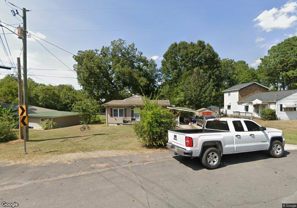
1217 Stacy Dr Dalton, GA 30721
Estimated Value: $198,206 - $238,000
Studio
1
Bath
1,657
Sq Ft
$131/Sq Ft
Est. Value
About This Home
This home is located at 1217 Stacy Dr, Dalton, GA 30721 and is currently estimated at $216,802, approximately $130 per square foot. 1217 Stacy Dr is a home located in Whitfield County with nearby schools including Roan Elementary School, Dalton High School, and Christian Heritage School.
Ownership History
Date
Name
Owned For
Owner Type
Purchase Details
Closed on
Dec 16, 2014
Sold by
Hill Suzanne
Bought by
Monasterio Manuel A and Monasterio Hernandez
Current Estimated Value
Home Financials for this Owner
Home Financials are based on the most recent Mortgage that was taken out on this home.
Original Mortgage
$89,900
Outstanding Balance
$68,343
Interest Rate
4.03%
Mortgage Type
New Conventional
Estimated Equity
$148,459
Purchase Details
Closed on
Nov 18, 2004
Sold by
Stacy Annabel B
Bought by
Stacy Annabel B
Create a Home Valuation Report for This Property
The Home Valuation Report is an in-depth analysis detailing your home's value as well as a comparison with similar homes in the area
Purchase History
| Date | Buyer | Sale Price | Title Company |
|---|---|---|---|
| Monasterio Manuel A | $89,900 | -- | |
| Stacy Annabel B | -- | -- |
Source: Public Records
Mortgage History
| Date | Status | Borrower | Loan Amount |
|---|---|---|---|
| Open | Monasterio Manuel A | $89,900 |
Source: Public Records
Tax History
| Year | Tax Paid | Tax Assessment Tax Assessment Total Assessment is a certain percentage of the fair market value that is determined by local assessors to be the total taxable value of land and additions on the property. | Land | Improvement |
|---|---|---|---|---|
| 2025 | $1,791 | $75,458 | $8,400 | $67,058 |
| 2024 | $1,791 | $75,458 | $8,400 | $67,058 |
| 2023 | $1,604 | $49,468 | $5,900 | $43,568 |
| 2022 | $858 | $32,312 | $5,900 | $26,412 |
| 2021 | $860 | $32,312 | $5,900 | $26,412 |
| 2020 | $881 | $32,312 | $5,900 | $26,412 |
| 2019 | $1,194 | $32,312 | $5,900 | $26,412 |
| 2018 | $1,212 | $32,312 | $5,900 | $26,412 |
| 2017 | $1,166 | $32,312 | $5,900 | $26,412 |
| 2016 | $1,002 | $27,592 | $3,570 | $24,022 |
| 2014 | $911 | $27,592 | $3,570 | $24,022 |
| 2013 | -- | $27,592 | $3,570 | $24,022 |
Source: Public Records
Map
Nearby Homes
- 1118 Dozier St
- 306 Robinwood Dr
- 303 Janice St
- 1104 May St
- 204 N Bogle St
- 406 Lester Ave
- 301B Fields Ave
- 626 Fifth Ave
- 1133 Orman St
- 171 Keith St
- 514 Sheridan Ave
- 432 4th Ave
- 825 Martin Luther King jr Blvd
- 436 Whitener Dr
- 1902 Bartenfield Dr
- 1114 Underwood St
- 311 Shady Ln
- 519 Abigail St
- 1112 Riverbend Dr
- 902 Mattie Dr
Your Personal Tour Guide
Ask me questions while you tour the home.