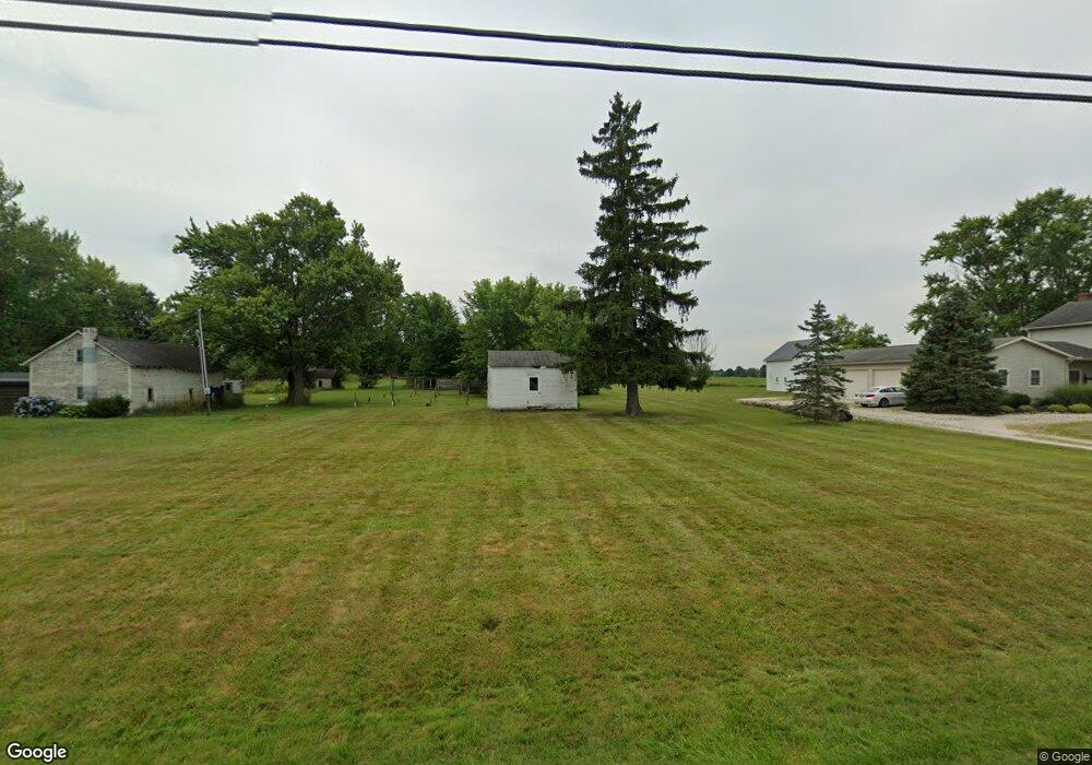
12170 Beeson St NE Alliance, OH 44601
Estimated Value: $224,000 - $353,000
3
Beds
1
Bath
2,334
Sq Ft
$132/Sq Ft
Est. Value
About This Home
This home is located at 12170 Beeson St NE, Alliance, OH 44601 and is currently estimated at $307,624, approximately $131 per square foot. 12170 Beeson St NE is a home located in Stark County with nearby schools including Marlington High School and Regina Coeli/St Joseph School.
Ownership History
Date
Name
Owned For
Owner Type
Purchase Details
Closed on
Jul 30, 2021
Sold by
Reay Craig E and Reay Loretta M
Bought by
Reay Craig E and Reay Loretta M
Current Estimated Value
Purchase Details
Closed on
Nov 13, 1998
Sold by
Penrod Anne
Bought by
Reay Craig E and Reay Loretta M
Home Financials for this Owner
Home Financials are based on the most recent Mortgage that was taken out on this home.
Original Mortgage
$103,000
Outstanding Balance
$22,482
Interest Rate
6.59%
Estimated Equity
$285,142
Purchase Details
Closed on
Jul 2, 1997
Sold by
Penrod Anne
Bought by
Reay Craig E and Reay Loretta M
Create a Home Valuation Report for This Property
The Home Valuation Report is an in-depth analysis detailing your home's value as well as a comparison with similar homes in the area
Home Values in the Area
Average Home Value in this Area
Purchase History
| Date | Buyer | Sale Price | Title Company |
|---|---|---|---|
| Reay Craig E | -- | None Available | |
| Reay Craig E | $52,200 | -- | |
| Reay Craig E | $77,500 | -- |
Source: Public Records
Mortgage History
| Date | Status | Borrower | Loan Amount |
|---|---|---|---|
| Open | Reay Craig E | $103,000 | |
| Closed | Reay Craig E | $0 |
Source: Public Records
Tax History Compared to Growth
Tax History
| Year | Tax Paid | Tax Assessment Tax Assessment Total Assessment is a certain percentage of the fair market value that is determined by local assessors to be the total taxable value of land and additions on the property. | Land | Improvement |
|---|---|---|---|---|
| 2025 | -- | $104,370 | $45,500 | $58,870 |
| 2024 | -- | $104,370 | $45,500 | $58,870 |
| 2023 | $2,531 | $71,300 | $33,920 | $37,380 |
| 2022 | $2,540 | $71,300 | $33,920 | $37,380 |
| 2021 | $6,375 | $71,190 | $33,810 | $37,380 |
| 2020 | $2,424 | $60,420 | $29,160 | $31,260 |
| 2019 | $2,407 | $60,420 | $29,160 | $31,260 |
| 2018 | $2,411 | $60,420 | $29,160 | $31,260 |
| 2017 | $2,109 | $49,540 | $19,670 | $29,870 |
| 2016 | $2,110 | $49,570 | $19,670 | $29,900 |
| 2015 | $2,011 | $49,570 | $19,670 | $29,900 |
| 2014 | $43 | $46,000 | $18,270 | $27,730 |
| 2013 | $1,016 | $46,000 | $18,270 | $27,730 |
Source: Public Records
Map
Nearby Homes
- 10666 Wilma Ave NE
- 13334 Cindy St NE
- 0 Meadow St NE
- 12355 Edison St NE
- 11960 Freshley Ave NE
- 0 Reeder Ave NE
- 1430 Westwood Ave
- 0 W Main St Unit 5090123
- 11480 Aebi Ave NE
- 2081 Marwood Cir
- 2377 Ansley St Unit 2377
- 13109 Edison St NE
- 12252 Snode St NE
- 12415 Snode St NE
- 000 Klinger Ave
- 2851 Patriots Path Unit 3D
- 2435 Queensbury Rd
- 432 Johnson Ave
- 1201 Overlook Dr
- 0 Valewood Cir Unit 5006281
- 0 Beeson St NE Unit 3963277
- 0 Beeson St NE Unit 3933099
- 12220 Beeson St NE
- 12244 Beeson St NE
- 12080 Beeson St NE
- 12280 Beeson St NE
- 12366 Beeson St NE
- 11977 Beeson St NE
- 10533 Dot Ave NE
- 10545 Dot Ave NE
- 12390 Beeson St NE
- 10567 Dot Ave NE
- 10585 Dot Ave NE
- 10605 Dot Ave NE
- 12414 Beeson St NE
- 10625 Dot Ave NE
- 10530 Dot Ave NE
- 10544 Dot Ave NE
- 10645 Dot Ave NE
- 10570 Dot Ave NE