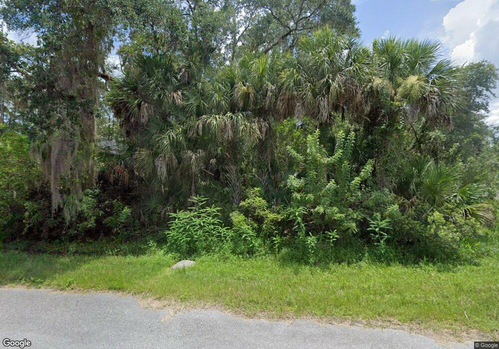
12173 Dunlap Ave Port Charlotte, FL 33953
Northwest Port Charlotte NeighborhoodEstimated Value: $14,000
--
Bed
--
Bath
--
Sq Ft
10,019
Sq Ft Lot
About This Home
This home is located at 12173 Dunlap Ave, Port Charlotte, FL 33953 and is currently estimated at $14,000. 12173 Dunlap Ave is a home located in Charlotte County with nearby schools including Liberty Elementary School, Murdock Middle School, and Port Charlotte High School.
Ownership History
Date
Name
Owned For
Owner Type
Purchase Details
Closed on
Jul 26, 2024
Sold by
R & R Leal Group Corp Inc
Bought by
Opus Cloud Corporation
Current Estimated Value
Purchase Details
Closed on
Apr 2, 2024
Sold by
R & R Leal Group Corp
Bought by
Opus Cloud Corporation
Purchase Details
Closed on
Sep 1, 2023
Sold by
Berezhinskiy Tanya
Bought by
R & R Leal Group Corp Inc
Purchase Details
Closed on
Apr 22, 2021
Sold by
Jones Vinita and Jones Ralph
Bought by
Berezhinsky Tanya
Purchase Details
Closed on
Oct 15, 2004
Sold by
Bengtson Barbara
Bought by
Handlon Vinita and Handlon Ralph Jones
Create a Home Valuation Report for This Property
The Home Valuation Report is an in-depth analysis detailing your home's value as well as a comparison with similar homes in the area
Home Values in the Area
Average Home Value in this Area
Purchase History
| Date | Buyer | Sale Price | Title Company |
|---|---|---|---|
| Opus Cloud Corporation | $100 | None Listed On Document | |
| Opus Cloud Corporation | $100 | None Listed On Document | |
| R & R Leal Group Corp Inc | $11,000 | Suncoast One Title & Closings | |
| Berezhinsky Tanya | $8,500 | Stewart Title Company | |
| Handlon Vinita | $1,500 | -- |
Source: Public Records
Tax History Compared to Growth
Tax History
| Year | Tax Paid | Tax Assessment Tax Assessment Total Assessment is a certain percentage of the fair market value that is determined by local assessors to be the total taxable value of land and additions on the property. | Land | Improvement |
|---|---|---|---|---|
| 2024 | $520 | $11,475 | $11,475 | -- |
| 2023 | $520 | $11,220 | $0 | $0 |
| 2022 | $489 | $10,200 | $10,200 | $0 |
| 2021 | $385 | $3,570 | $3,570 | $0 |
| 2020 | $377 | $3,570 | $3,570 | $0 |
| 2019 | $375 | $3,570 | $3,570 | $0 |
| 2018 | $365 | $3,315 | $3,315 | $0 |
| 2017 | $361 | $3,196 | $3,196 | $0 |
| 2016 | $357 | $3,060 | $0 | $0 |
| 2015 | $353 | $2,788 | $0 | $0 |
| 2014 | $252 | $2,768 | $0 | $0 |
Source: Public Records
Map
Nearby Homes
- 12160 Judson Ave
- 12152 Judson Ave
- 12147 Kraft Ave
- 12259 Cassino Ave
- 12095 Cassino Ave
- 12189 Judson Ave
- 12040 Judson Ave
- 12133 Judson Ave
- 12048 Judson Ave
- 12241 Judson Ave
- 12090 Kraft Ave
- 12196 Kraft Ave
- 12042 Kraft Ave
- 12107 Judson Ave
- 12073 Judson Ave
- 482 Hanscom St
- 12065 Judson Ave
- 427 Hanscom St
- 463 Reese St
- 1114 March Dr
- 12181 Judson Ave
- 12180 Kraft Ave
- 12168 Judson Ave
- 12197 Judson Ave
- 12149 Judson Ave
- 12192 Judson Ave
- 12167 Cassino Ave
- 12163 Kraft Ave
- 12141 Judson Ave
- 12144 Judson Ave
- 12200 Judson Ave
- 12155 Kraft Ave
- 12140 & 12 Kraft Ave
- 12140 & 12148 Kraft Ave
- 12151 Cassino Ave
- 12172 Federal Ave
- 12172 Cassino Ave
- 12207 Cassino Ave
- 12123 Federal Ave