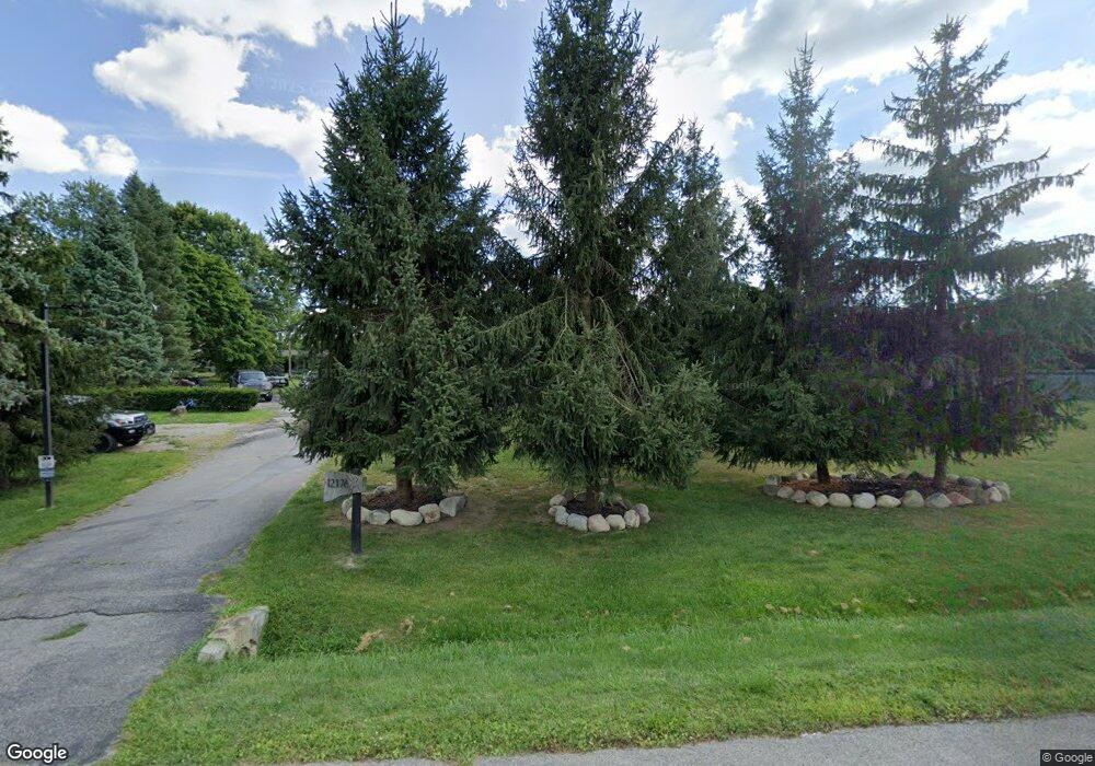
12176 Amherst Ct Plymouth, MI 48170
Estimated Value: $456,000 - $660,000
4
Beds
3
Baths
2,436
Sq Ft
$226/Sq Ft
Est. Value
About This Home
This home is located at 12176 Amherst Ct, Plymouth, MI 48170 and is currently estimated at $549,945, approximately $225 per square foot. 12176 Amherst Ct is a home located in Wayne County with nearby schools including Canton High School, Isbister Elementary School, and Salem High School.
Ownership History
Date
Name
Owned For
Owner Type
Purchase Details
Closed on
Apr 10, 2017
Sold by
Pollard Billy Jo and Pollard Nancy C
Bought by
Schiftar Todd
Current Estimated Value
Home Financials for this Owner
Home Financials are based on the most recent Mortgage that was taken out on this home.
Original Mortgage
$280,485
Outstanding Balance
$235,234
Interest Rate
4.5%
Mortgage Type
FHA
Estimated Equity
$314,711
Purchase Details
Closed on
Oct 19, 2004
Sold by
Koch Alan and Koch Susan
Bought by
Pollard Billy Jo
Create a Home Valuation Report for This Property
The Home Valuation Report is an in-depth analysis detailing your home's value as well as a comparison with similar homes in the area
Home Values in the Area
Average Home Value in this Area
Purchase History
| Date | Buyer | Sale Price | Title Company |
|---|---|---|---|
| Schiftar Todd | -- | None Available | |
| Pollard Billy Jo | $316,500 | Multiple |
Source: Public Records
Mortgage History
| Date | Status | Borrower | Loan Amount |
|---|---|---|---|
| Open | Schiftar Todd | $280,485 |
Source: Public Records
Tax History Compared to Growth
Tax History
| Year | Tax Paid | Tax Assessment Tax Assessment Total Assessment is a certain percentage of the fair market value that is determined by local assessors to be the total taxable value of land and additions on the property. | Land | Improvement |
|---|---|---|---|---|
| 2025 | $3,788 | $243,000 | $0 | $0 |
| 2024 | $3,788 | $198,800 | $0 | $0 |
| 2023 | $3,609 | $153,300 | $0 | $0 |
| 2022 | $6,196 | $147,200 | $0 | $0 |
| 2021 | $4,772 | $144,900 | $0 | $0 |
| 2019 | $6,609 | $166,410 | $0 | $0 |
| 2018 | $3,720 | $158,450 | $0 | $0 |
| 2017 | $2,186 | $59,300 | $0 | $0 |
| 2016 | $6,051 | $152,400 | $0 | $0 |
| 2015 | $13,109 | $138,030 | $0 | $0 |
| 2013 | $12,700 | $138,030 | $0 | $0 |
| 2012 | -- | $124,030 | $59,280 | $64,750 |
Source: Public Records
Map
Nearby Homes
- 11809 Amherst Ct
- 47442 Verona Ct
- 47443 Verona Ct
- 48100 Powell Rd
- 12812 Drury Ln
- 46777 Bettyhill
- 46701 N Territorial Rd
- 48441 N Territorial Rd
- 11701 Tuscany Ct
- 13881 Emrick Dr
- 11793 Lorenz Way Unit 13
- 9421 Mapletree Dr
- 49238 Plum Tree Dr
- 9350 Colony Farms Ct
- 48434 Hill Top Dr E
- 12607 Vintage Ln
- 13507 Westbrook Rd
- 13150 Hidden Creek Dr
- 12372 Pinecrest Dr
- B1 Tall Timber Unit B1
- 12075 N Beck Rd
- 12165 Amherst Ct
- 12138 Amherst Ct
- 12065 N Beck Rd
- 12187 Amherst Ct
- 12141 Amherst Ct
- 12116 Nicholas Ln
- 11734 Amherst Ct
- 11955 N Beck Rd
- 12105 Amherst Ct
- 11758 Amherst Ct
- 11712 Amherst Ct
- 11905 N Beck Rd
- 12085 Nicholas Ln
- 12221 N Beck Rd
- 12075 Amherst Ct
- 11737 Amherst Ct
- 11792 Amherst Ct
- 11696 Amherst Ct
- 11855 N Beck Rd
