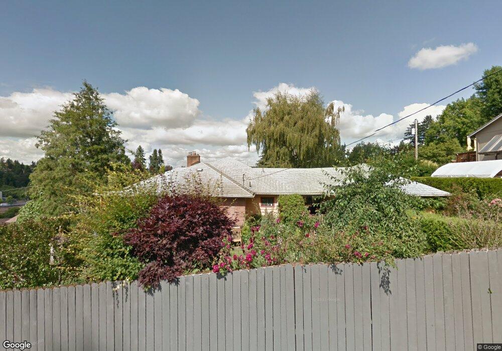
12179 SE 37th Ave Milwaukie, OR 97222
Lake Road NeighborhoodEstimated Value: $731,000 - $744,105
4
Beds
3
Baths
3,598
Sq Ft
$205/Sq Ft
Est. Value
About This Home
This home is located at 12179 SE 37th Ave, Milwaukie, OR 97222 and is currently estimated at $738,026, approximately $205 per square foot. 12179 SE 37th Ave is a home located in Clackamas County with nearby schools including Milwaukie Elementary School, Rowe Middle School, and Milwaukie High School.
Ownership History
Date
Name
Owned For
Owner Type
Purchase Details
Closed on
Mar 17, 2008
Sold by
Estate Of Patricia A Jarrard and Jarrard Denise L
Bought by
Joslin Pamela A and Seal Zina M
Current Estimated Value
Home Financials for this Owner
Home Financials are based on the most recent Mortgage that was taken out on this home.
Original Mortgage
$180,000
Outstanding Balance
$111,081
Interest Rate
5.65%
Mortgage Type
Purchase Money Mortgage
Estimated Equity
$626,945
Create a Home Valuation Report for This Property
The Home Valuation Report is an in-depth analysis detailing your home's value as well as a comparison with similar homes in the area
Home Values in the Area
Average Home Value in this Area
Purchase History
| Date | Buyer | Sale Price | Title Company |
|---|---|---|---|
| Joslin Pamela A | $385,000 | Fidelity Natl Title Co Of Or |
Source: Public Records
Mortgage History
| Date | Status | Borrower | Loan Amount |
|---|---|---|---|
| Open | Joslin Pamela A | $180,000 |
Source: Public Records
Tax History Compared to Growth
Tax History
| Year | Tax Paid | Tax Assessment Tax Assessment Total Assessment is a certain percentage of the fair market value that is determined by local assessors to be the total taxable value of land and additions on the property. | Land | Improvement |
|---|---|---|---|---|
| 2025 | $8,021 | $364,526 | -- | -- |
| 2024 | $7,746 | $353,909 | -- | -- |
| 2023 | $7,746 | $343,601 | $0 | $0 |
| 2022 | $7,154 | $333,594 | $0 | $0 |
| 2021 | $6,903 | $323,878 | $0 | $0 |
| 2020 | $6,689 | $314,445 | $0 | $0 |
| 2019 | $6,589 | $305,287 | $0 | $0 |
| 2018 | $5,859 | $296,395 | $0 | $0 |
| 2017 | $5,691 | $287,762 | $0 | $0 |
| 2016 | $5,501 | $279,381 | $0 | $0 |
| 2015 | $5,238 | $271,244 | $0 | $0 |
| 2014 | $4,968 | $263,344 | $0 | $0 |
Source: Public Records
Map
Nearby Homes
- 12632 SE 39th Ct
- 4119 SE Northridge Dr
- 12600 SE Freeman Way
- 12712 SE 31st Ave
- 11332 SE 31st Ave
- 12815 SE 31st Ave
- 11265 SE 30th Ave
- 12425 SE 27th Ave
- 4134 SE Washington St
- 4657 SE Franklin St
- 4501 SE Chelsea St
- 11508 SE 48th Ave
- 12735 SE 26th Ave
- 13241 SE 45th Ave
- 12838 SE Sprout Ln
- 10845 SE Myrtle St
- 10801 SE Myrtle St
- 12437 SE 24th Ave
- 4805 SE Park St
- 3396 SE Loeffelman Rd
- 12145 SE 37th Ave
- 12205 SE 37th Ave
- 12188 SE 36th Ave
- 12166 SE 36th Ave
- 12178 SE 37th Ave
- 12210 SE 36th Ave
- 12200 SE 37th Ave
- 12156 SE 37th Ave
- 12124 SE 36th Ave
- 12107 SE 37th Ave
- 12236 SE 37th Ave
- 12132 SE 37th Ave
- 12102 SE 36th Ave
- 12171 SE 38th Ave
- 3695 SE Lake Rd
- 12203 SE 38th Ave
- 12090 SE 37th Ave
- 3585 SE Nase Ct
- 12089 SE 37th Ave
- 3830 SE