Estimated Value: $285,000 - $328,388
3
Beds
2
Baths
2,283
Sq Ft
$134/Sq Ft
Est. Value
About This Home
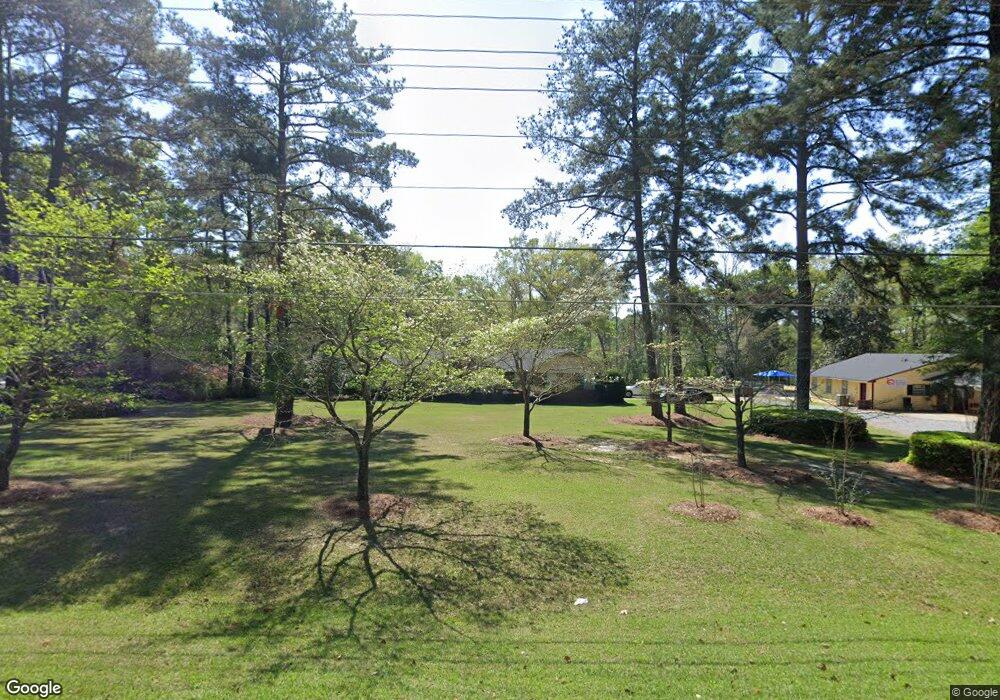
This home is located at 1218 20th St NE, Cairo, GA 39828 and is currently estimated at $306,847, approximately $134 per square foot. 1218 20th St NE is a home with nearby schools including Cairo High School.
Ownership History
Date
Name
Owned For
Owner Type
Purchase Details
Closed on
Mar 30, 2023
Sold by
Kingdom Links International Inc
Bought by
Smith William
Current Estimated Value
Purchase Details
Closed on
Jun 10, 2005
Sold by
Polk Randall L
Bought by
Kingdom Links International In
Home Financials for this Owner
Home Financials are based on the most recent Mortgage that was taken out on this home.
Original Mortgage
$160,000
Interest Rate
5.66%
Mortgage Type
New Conventional
Purchase Details
Closed on
Dec 4, 1998
Sold by
Cox Ronnie M
Bought by
Polk Randall L
Purchase Details
Closed on
Jun 28, 1985
Bought by
Cox Ronnie M
Create a Home Valuation Report for This Property
The Home Valuation Report is an in-depth analysis detailing your home's value as well as a comparison with similar homes in the area
Home Values in the Area
Average Home Value in this Area
Purchase History
| Date | Buyer | Sale Price | Title Company |
|---|---|---|---|
| Smith William | -- | -- | |
| Kingdom Links International In | $157,235 | -- | |
| Polk Randall L | $207,000 | -- | |
| Cox Ronnie M | $8,100 | -- |
Source: Public Records
Mortgage History
| Date | Status | Borrower | Loan Amount |
|---|---|---|---|
| Previous Owner | Kingdom Links International In | $160,000 |
Source: Public Records
Tax History Compared to Growth
Tax History
| Year | Tax Paid | Tax Assessment Tax Assessment Total Assessment is a certain percentage of the fair market value that is determined by local assessors to be the total taxable value of land and additions on the property. | Land | Improvement |
|---|---|---|---|---|
| 2024 | $4,893 | $124,011 | $18,750 | $105,261 |
| 2023 | $3,740 | $101,039 | $18,000 | $83,039 |
| 2022 | $3,900 | $101,285 | $18,000 | $83,285 |
| 2021 | $3,910 | $101,285 | $18,000 | $83,285 |
| 2020 | $3,921 | $101,285 | $18,000 | $83,285 |
| 2019 | $3,920 | $101,285 | $18,000 | $83,285 |
| 2018 | $3,726 | $101,285 | $18,000 | $83,285 |
| 2017 | $3,584 | $101,285 | $18,000 | $83,285 |
| 2016 | $3,277 | $90,567 | $18,000 | $72,567 |
| 2015 | $3,244 | $90,567 | $18,000 | $72,567 |
| 2014 | $3,245 | $90,567 | $18,000 | $72,567 |
| 2013 | -- | $85,146 | $18,000 | $67,146 |
Source: Public Records
Map
Nearby Homes
- 0 20th St NE
- 00 20th St NE
- 2600 U S 84
- 66 22nd St NE
- 00 State Route 188
- 0 State Route 188
- 0 NE Airport Rd Unit 145784
- 78.6 Ac Strickland Rd
- 00 NW 9th Ave
- 21 24th St NE
- 711 2nd Ave NE
- Lot #15, 3 64 Acres Oakbend Cir
- 2975 U S 84
- 4761 Hadley Ferry Rd
- 414 Woodland Rd
- 471 4th St SE
- 3109 U S 84
- 3109 U S 84
- 481 4th St SE
- 309 3rd St SE
- 1220 20th St NE
- 484 Kristi Lee Dr
- 478 Kristi Lee Dr
- 476 Kristi Lee Dr
- 480 Kristi Lee Dr
- 482 Kristi Lee Dr
- 474 Kristi Lee Dr
- 472 Kristi Lee Dr
- 483 Kristi Lee Dr
- 485 Kristi Lee Dr
- 1222 20th St NE
- 481 Kristi Lee Dr
- 479 Kristi Lee Dr
- 477 Kristi Lee Dr
- 475 Kristi Lee Dr
- 461 Linda Blair Dr
- 463 Linda Blair Dr
- 465 Linda Blair Dr
- 476 Kerri Anne Dr
- 482 Kerri Anne Dr