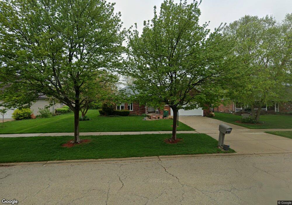
1218 Arbor Dr Lemont, IL 60439
West Lemont NeighborhoodEstimated Value: $567,061 - $608,000
4
Beds
3
Baths
2,435
Sq Ft
$242/Sq Ft
Est. Value
About This Home
This home is located at 1218 Arbor Dr, Lemont, IL 60439 and is currently estimated at $590,265, approximately $242 per square foot. 1218 Arbor Dr is a home located in Cook County with nearby schools including Oakwood School, River Valley School, and Old Quarry Middle School.
Ownership History
Date
Name
Owned For
Owner Type
Purchase Details
Closed on
Jul 10, 1996
Sold by
Mernel Construction Corp
Bought by
Graczyk Anthony J and Graczyk Maryann
Current Estimated Value
Home Financials for this Owner
Home Financials are based on the most recent Mortgage that was taken out on this home.
Original Mortgage
$60,000
Interest Rate
8.31%
Create a Home Valuation Report for This Property
The Home Valuation Report is an in-depth analysis detailing your home's value as well as a comparison with similar homes in the area
Home Values in the Area
Average Home Value in this Area
Purchase History
| Date | Buyer | Sale Price | Title Company |
|---|---|---|---|
| Graczyk Anthony J | $245,000 | -- |
Source: Public Records
Mortgage History
| Date | Status | Borrower | Loan Amount |
|---|---|---|---|
| Closed | Graczyk Anthony J | $60,000 |
Source: Public Records
Tax History
| Year | Tax Paid | Tax Assessment Tax Assessment Total Assessment is a certain percentage of the fair market value that is determined by local assessors to be the total taxable value of land and additions on the property. | Land | Improvement |
|---|---|---|---|---|
| 2025 | $4,770 | $49,000 | $7,176 | $41,824 |
| 2024 | $4,770 | $49,000 | $7,176 | $41,824 |
| 2023 | $5,749 | $49,000 | $7,176 | $41,824 |
| 2022 | $5,749 | $37,771 | $6,348 | $31,423 |
| 2021 | $5,427 | $37,771 | $6,348 | $31,423 |
| 2020 | $5,108 | $37,771 | $6,348 | $31,423 |
| 2019 | $5,492 | $37,309 | $6,348 | $30,961 |
| 2018 | $5,411 | $37,309 | $6,348 | $30,961 |
| 2017 | $5,237 | $37,309 | $6,348 | $30,961 |
| 2016 | $6,336 | $32,691 | $5,244 | $27,447 |
| 2015 | $6,756 | $32,691 | $5,244 | $27,447 |
| 2014 | $6,400 | $32,691 | $5,244 | $27,447 |
| 2013 | $6,931 | $35,000 | $5,244 | $29,756 |
Source: Public Records
Map
Nearby Homes
- 15500 E 127th St
- 5 Melissa Dr
- 1365 State St
- 12755 Saint Andrews Ct Unit 302
- 1236 Prairie Ln Unit 5-B
- 1232 Prairie Ln Unit 5-A
- 1228 Prairie Ln Unit 4B
- 1228 Prairie Ln
- 1224 Prairie Ln
- 1204 Prairie Ln
- 1200 Prairie Ln Unit 1-A
- 3.1 Acres Archer Ave
- 1.7 Acres Archer Ave
- 15976 132nd St
- 16511 Kayla Dr
- 1365 Gordon Ln
- 1025 Walter St
- 1023 Walter St
- 1012 Warner Ave
- 1009 Walter St
Your Personal Tour Guide
Ask me questions while you tour the home.