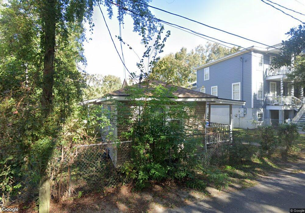
1218 Brody Ave Unit 1 Charleston, SC 29407
Maryville-Ashleyville NeighborhoodEstimated Value: $404,000 - $497,054
2
Beds
1
Bath
1,056
Sq Ft
$416/Sq Ft
Est. Value
About This Home
This home is located at 1218 Brody Ave Unit 1, Charleston, SC 29407 and is currently estimated at $439,514, approximately $416 per square foot. 1218 Brody Ave Unit 1 is a home located in Charleston County with nearby schools including St. Andrews School Of Math And Science, West Ashley High School, and Carolina Voyager Charter.
Ownership History
Date
Name
Owned For
Owner Type
Purchase Details
Closed on
Oct 13, 2023
Sold by
Cochran-Davis Deborah and Cochran Terrence
Bought by
Porter Jerileatha
Current Estimated Value
Purchase Details
Closed on
Jun 25, 2015
Sold by
Estate Of Connie Porter Cochran and Davis Deborah Cochran
Bought by
Davis Deborah Cochran and Cochran Terrence
Purchase Details
Closed on
Nov 2, 2001
Sold by
Johnson Carroll M
Bought by
Cochran Connie
Purchase Details
Closed on
Oct 16, 2001
Sold by
Johnson Carroll M
Bought by
Johnson Carroll M
Create a Home Valuation Report for This Property
The Home Valuation Report is an in-depth analysis detailing your home's value as well as a comparison with similar homes in the area
Home Values in the Area
Average Home Value in this Area
Purchase History
| Date | Buyer | Sale Price | Title Company |
|---|---|---|---|
| Porter Jerileatha | -- | None Listed On Document | |
| Davis Deborah Cochran | -- | -- | |
| Cochran Connie | $40,000 | -- | |
| Johnson Carroll M | -- | -- |
Source: Public Records
Tax History Compared to Growth
Tax History
| Year | Tax Paid | Tax Assessment Tax Assessment Total Assessment is a certain percentage of the fair market value that is determined by local assessors to be the total taxable value of land and additions on the property. | Land | Improvement |
|---|---|---|---|---|
| 2024 | $5,595 | $12,800 | $0 | $0 |
| 2023 | $5,595 | $4,090 | $0 | $0 |
| 2022 | $1,179 | $4,090 | $0 | $0 |
| 2021 | $1,165 | $4,090 | $0 | $0 |
| 2020 | $1,158 | $4,090 | $0 | $0 |
| 2019 | $1,066 | $3,560 | $0 | $0 |
| 2017 | $1,022 | $3,560 | $0 | $0 |
| 2016 | $992 | $3,560 | $0 | $0 |
| 2015 | $950 | $3,560 | $0 | $0 |
| 2014 | -- | $0 | $0 | $0 |
| 2011 | -- | $0 | $0 | $0 |
Source: Public Records
Map
Nearby Homes
- 1157 Symmes Dr
- 1124 Davidson Ave
- 1124 5th Ave
- 1103 Byron Rd
- 5 Jerry Dr
- 1121 Browning Rd
- 757 Longfellow Rd
- 0 Anita Dr Unit 25026053
- 1315 S Sherwood Dr
- 1333 White Dr
- 1216 Old Towne Rd
- 1130 San Juan Ave
- 929 Battery Ave
- 1 Bossis Dr
- 950 Battery Ave
- 725 Shelley Rd
- 1356 S Sherwood Dr
- 712 Longfellow Rd
- 37 Fort Royal Ave
- 13 Ashland Dr
- 1218 Brody Ave
- 1216 Brody Ave
- 1219 Carnegie Ave
- 1212 Brody Ave
- 1217 Carnegie Ave
- 1221 Diana St
- 1213 Carnegie Ave
- 1210 Brody Ave
- 1301 Lula St
- 1139 Brody Ave
- 1209 Brody Ave
- 1218 Carnegie Ave
- 1214 Carnegie Ave
- 1303 Lula St
- 1212 Carnegie Ave
- 1220 Carnegie Ave
- 913 Diana St
- 1206 Carnegie Ave
- 913 Magnolia Rd
- 1202 Brody Ave