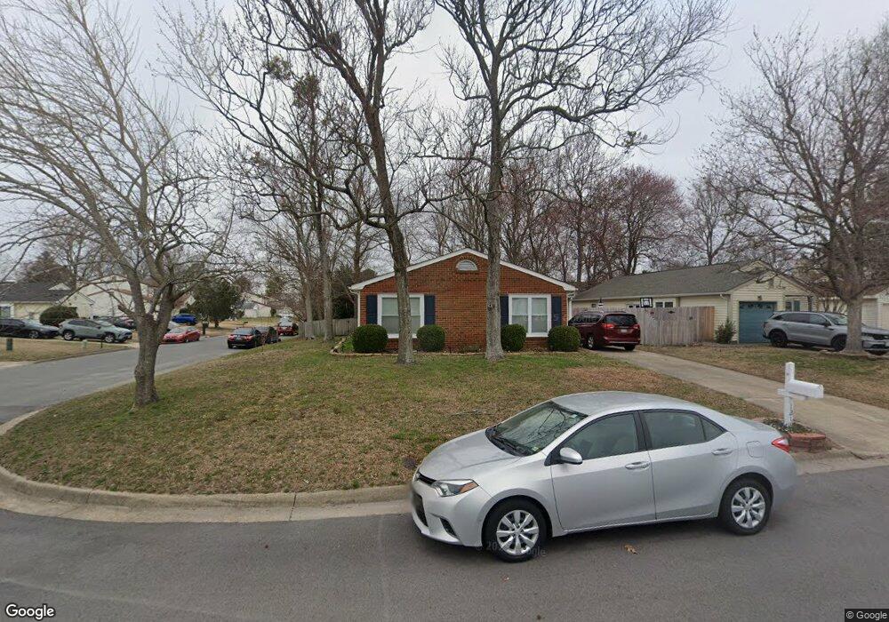
1218 Brookside Landing Chesapeake, VA 23320
Greenbrier East NeighborhoodEstimated Value: $362,479 - $371,000
3
Beds
2
Baths
1,593
Sq Ft
$230/Sq Ft
Est. Value
About This Home
This home is located at 1218 Brookside Landing, Chesapeake, VA 23320 and is currently estimated at $365,870, approximately $229 per square foot. 1218 Brookside Landing is a home located in Chesapeake City with nearby schools including Greenbrier Primary School, Greenbrier Intermediate School, and Greenbrier Middle.
Ownership History
Date
Name
Owned For
Owner Type
Purchase Details
Closed on
Jan 28, 2017
Sold by
Hodges Daniel C and Hodges Patricia
Bought by
Hoel Tyler W and Hoel Rachel
Current Estimated Value
Home Financials for this Owner
Home Financials are based on the most recent Mortgage that was taken out on this home.
Original Mortgage
$232,707
Outstanding Balance
$190,197
Interest Rate
3.75%
Mortgage Type
FHA
Estimated Equity
$175,673
Purchase Details
Closed on
Oct 29, 2010
Sold by
Leatherwood Louis M
Bought by
Hodges Daniel C
Home Financials for this Owner
Home Financials are based on the most recent Mortgage that was taken out on this home.
Original Mortgage
$231,880
Interest Rate
4.3%
Mortgage Type
VA
Create a Home Valuation Report for This Property
The Home Valuation Report is an in-depth analysis detailing your home's value as well as a comparison with similar homes in the area
Home Values in the Area
Average Home Value in this Area
Purchase History
| Date | Buyer | Sale Price | Title Company |
|---|---|---|---|
| Hoel Tyler W | $237,000 | Attorney | |
| Hodges Daniel C | $227,000 | -- |
Source: Public Records
Mortgage History
| Date | Status | Borrower | Loan Amount |
|---|---|---|---|
| Open | Hoel Tyler W | $232,707 | |
| Previous Owner | Hodges Daniel C | $231,880 |
Source: Public Records
Tax History Compared to Growth
Tax History
| Year | Tax Paid | Tax Assessment Tax Assessment Total Assessment is a certain percentage of the fair market value that is determined by local assessors to be the total taxable value of land and additions on the property. | Land | Improvement |
|---|---|---|---|---|
| 2025 | $3,163 | $323,500 | $155,000 | $168,500 |
| 2024 | $3,163 | $313,200 | $140,000 | $173,200 |
| 2023 | $2,990 | $296,000 | $120,000 | $176,000 |
| 2022 | $2,851 | $282,300 | $105,000 | $177,300 |
| 2021 | $2,570 | $244,800 | $90,000 | $154,800 |
| 2020 | $2,462 | $234,500 | $85,000 | $149,500 |
| 2019 | $2,436 | $232,000 | $85,000 | $147,000 |
| 2018 | $2,396 | $217,500 | $80,000 | $137,500 |
| 2017 | $2,324 | $221,300 | $90,000 | $131,300 |
| 2016 | $2,271 | $216,300 | $85,000 | $131,300 |
| 2015 | $2,284 | $217,500 | $80,000 | $137,500 |
| 2014 | $2,284 | $217,500 | $80,000 | $137,500 |
Source: Public Records
Map
Nearby Homes
- 1244 Mill Lake Quarter
- 1108 Mill Lake Quarter
- 1244 Quarter Path Trail
- 923 Captains Ct
- 919 Captains Ct
- 1363 Cypress Place
- 929 Still Harbor Cir
- 952 Saint Andrews Reach Unit A
- 1313 Quail Creek Hollow Unit B
- 1406 Otterbourne Ct
- 1407 Otterbourne Quay
- 1468 Otterbourne Cir
- 1009 Saint Andrews Way Unit B
- 1537 Waterside Dr N
- 934 Shoal Creek Trail Unit B
- 1423 Otterbourne Cir
- 1443 Thistlewood Ln
- 1439 Thistlewood Ln
- 1023 Winged Foot Ct Unit A
- 1425 Blairwood Ln
- 1222 Brookside Landing
- 1157 Turtle Rock Trace
- 1224 Brookside Landing
- 1155 Turtle Rock Trace
- 1217 Brookside Landing
- 1219 Brookside Landing
- 1221 Brookside Landing
- 1153 Turtle Rock Trace
- 1201 Timberlake Ct
- 1215 Brookside Landing
- 1203 Timberlake Ct
- 1205 Timberlake Ct
- 1226 Brookside Landing
- 1151 Turtle Rock Trace
- 1213 Brookside Landing
- 1207 Timberlake Ct
- 1228 Brookside Landing
- 1227 Brookside Landing
- 1225 Brookside Landing
- 1211 Brookside Landing