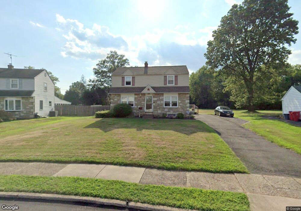
1218 Cambridge Rd Warminster, PA 18974
Estimated Value: $411,304 - $539,000
--
Bed
1
Bath
1,734
Sq Ft
$281/Sq Ft
Est. Value
About This Home
This home is located at 1218 Cambridge Rd, Warminster, PA 18974 and is currently estimated at $487,576, approximately $281 per square foot. 1218 Cambridge Rd is a home located in Bucks County with nearby schools including Willow Dale El School, Log College Middle School, and William Tennent High School.
Ownership History
Date
Name
Owned For
Owner Type
Purchase Details
Closed on
Feb 28, 1997
Sold by
Lacy Margaret P and Lacy John D
Bought by
Bond Raymond P and Bond Annmarie
Current Estimated Value
Home Financials for this Owner
Home Financials are based on the most recent Mortgage that was taken out on this home.
Original Mortgage
$106,400
Outstanding Balance
$12,685
Interest Rate
7.55%
Estimated Equity
$474,891
Purchase Details
Closed on
Oct 21, 1955
Bought by
Lacy John H and Lacy Margaret P
Create a Home Valuation Report for This Property
The Home Valuation Report is an in-depth analysis detailing your home's value as well as a comparison with similar homes in the area
Home Values in the Area
Average Home Value in this Area
Purchase History
| Date | Buyer | Sale Price | Title Company |
|---|---|---|---|
| Bond Raymond P | $112,000 | -- | |
| Lacy John H | -- | -- |
Source: Public Records
Mortgage History
| Date | Status | Borrower | Loan Amount |
|---|---|---|---|
| Open | Bond Raymond P | $106,400 |
Source: Public Records
Tax History Compared to Growth
Tax History
| Year | Tax Paid | Tax Assessment Tax Assessment Total Assessment is a certain percentage of the fair market value that is determined by local assessors to be the total taxable value of land and additions on the property. | Land | Improvement |
|---|---|---|---|---|
| 2025 | $5,015 | $23,760 | $5,480 | $18,280 |
| 2024 | $5,015 | $23,760 | $5,480 | $18,280 |
| 2023 | $4,861 | $23,760 | $5,480 | $18,280 |
| 2022 | $4,757 | $23,760 | $5,480 | $18,280 |
| 2021 | $4,646 | $23,760 | $5,480 | $18,280 |
| 2020 | $4,580 | $23,760 | $5,480 | $18,280 |
| 2019 | $4,337 | $23,760 | $5,480 | $18,280 |
| 2018 | $4,234 | $23,760 | $5,480 | $18,280 |
| 2017 | $4,109 | $23,760 | $5,480 | $18,280 |
| 2016 | $4,109 | $23,760 | $5,480 | $18,280 |
| 2015 | $4,045 | $23,760 | $5,480 | $18,280 |
| 2014 | $4,045 | $23,760 | $5,480 | $18,280 |
Source: Public Records
Map
Nearby Homes
- 1277 Beverly Rd
- 1274 Beverly Rd
- 1130 Victoria Rd
- 1309 Clyde Rd
- 64 Villa Dr Unit 206
- 1002 Windsor Rd
- 159 Villa Dr Unit 91
- 100 Villa Dr Unit 224
- Faraday Plan at Liberty Ridge
- Westmont Plan at Liberty Ridge
- Northbrook Plan at Liberty Ridge
- 416 Aspen Ln
- 603 Liberty Ridge Rd
- 605 Liberty Ridge Rd
- 607 Liberty Ridge Rd
- 604 Liberty Ridge Rd
- 611 Liberty Ridge Rd
- 616 Liberty Ridge Rd
- 13 Eagle Ct
- 990 Meadow Glen Rd
- 1212 Cambridge Rd
- 1228 Cambridge Rd
- 1206 Cambridge Rd
- 1209 Cambridge Rd
- 1229 Cambridge Rd
- 1230 Cambridge Rd
- 1198 Cambridge Rd
- 1219 Caledonia Dr
- 1229 Caledonia Dr
- 1199 Cambridge Rd
- 81 Caledonia Dr
- 1238 Cambridge Rd
- 1256 Beverly Rd
- 1190 Cambridge Rd
- 1191 Cambridge Rd
- 1239 Caledonia Dr
- 1243 Cambridge Rd
- 1252 Beverly Rd
- 1260 Beverly Rd
- 77 Caledonia Dr